UK weather: Get the sun tan lotion ready, another heatwave is on the way
After two days of widespread electrical thunderstorms and flood alerts across the UK, temperatures will be rising again next week with another predicted heatwave.
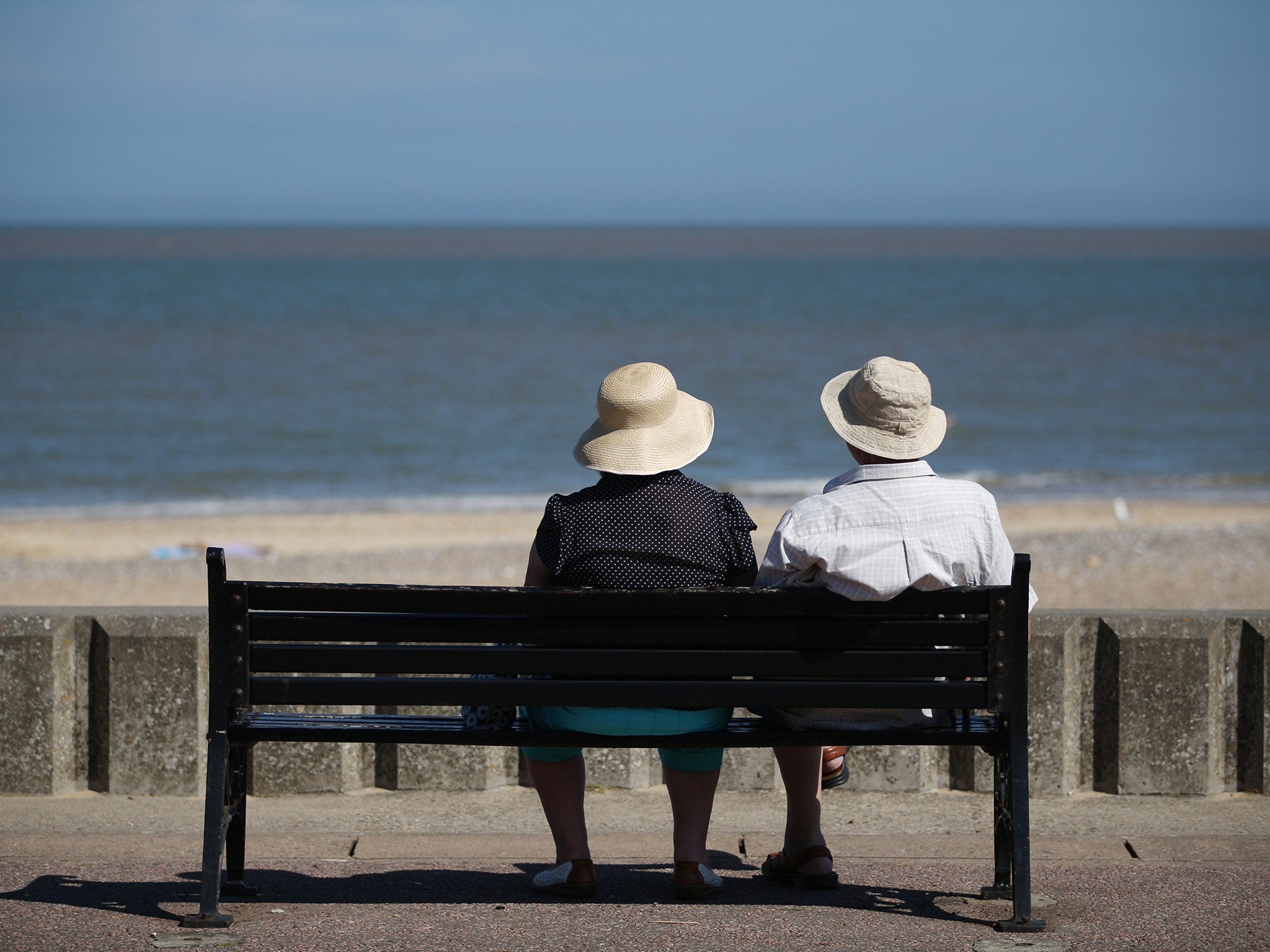
Forecasters say there will be a three-day spell from Wednesday when temperatures are expected to reach 30C in some areas.
Gemma Prebble, a forecaster with MeteoGroup, said: "By Tuesday there will be highs of 28C in the South East and on Wednesday, Thursday and Friday it will possibly be up to 30C in the South East."
The warm spell is likely to stretch on into the following week, Ms Prebble said.
Temperatures on Sunday are predicted to reach a maximum of 26C in the South East and 20C to 24C across the rest of the UK, although weather warnings remain in place with the Met Office issuing a "yellow" warning of rain for eastern England and Scotland, forecasting thundery showers with torrential downpours, lightning, hail and strong gusts.
The UK's highest temperature was recorded at St James's Park in central London on Saturday where the mercury hit 28.8C.
The heatwave next week and expected calmer weather - until the next round of thunderstorms - will come as a relief to many parts of the UK that suffered torrential downpours on Friday and Saturday.
The Environment Agency issued 55 flood alerts across the Midlands, the South East and the South West on Saturday - up to 30mm an hour fell in some places - more than the average monthly rainfall for the whole of July.
At Heathrow some airlines cancelled 20 percent of flights for a two-hour period because of thunderstorms.
Several properties across the UK were struck by lightening, including a house in Streatham, south west London, and Chelmsford in Essex - the roofs of both properties were destroyed.
Join our commenting forum
Join thought-provoking conversations, follow other Independent readers and see their replies
Comments
Bookmark popover
Removed from bookmarks