UK Weather: Yesterday was the coldest night of winter – and more chilly temperatures are on the way
'On Monday night we saw the coldest night of the winter so far; on Tuesday night I think we’ll see minus double figures again,' says meteorologist
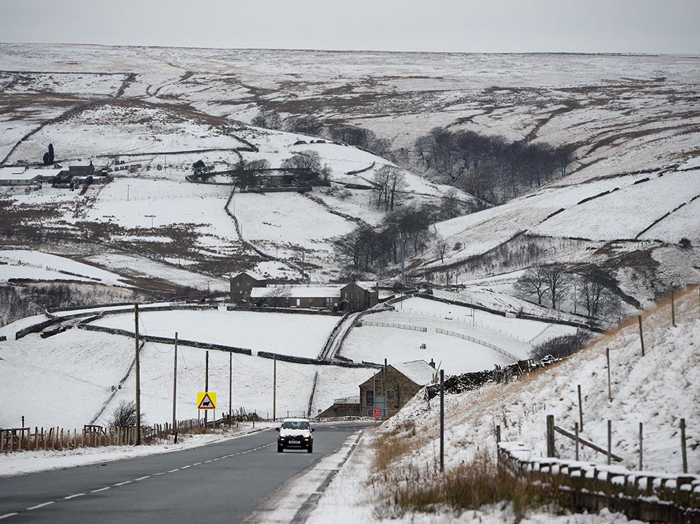
There will be no respite following the coldest night in winter so far, as people across the UK will again feel below-zero temperatures on Tuesday, the Met Office has said.
The lowest temperature recorded on Monday night was -12.2 °C in Kinbrace, Sutherland. In England it dipped to -8.4°C in Benson, Oxfordshire.
But meteorologist Emma Sharples has told The Independent it is “possible” that Tuesday night could steal the title for being the coldest of the season.
“[On Monday night] we saw the coldest night of the winter so far; [on Tuesday night] I think we’ll see minus double figures again.”
“There will be fairly widespread frost - quite a sharp frost across the southern parts of the UK, Wales and Scotland.”
The current cold snap is expected to continue throughout the week before a weather change on the weekend, according to Ms Sharples.
Yellow warnings for ice have been issued for the whole of Scotland on Tuesday and Wednesday.
Temperatures for Tuesday and Wednesday are expected to reach 3°C or 4°C in Scotland and the North East of England. In the south, temperatures will be between 4°C and 5°C, possibly hitting 7°C in the South West.
“And then we start to see a change with less cold air edging in from the west, associated with some weather fronts bringing in a bit more cloud across Wales and South West England on Thursday," said Ms Sharples.
Friday will also feel less cold as the weather front spreads from west to east, although there may be some sleet or snow on higher grounds.
Ms Sharples said: “That then really is the end of this cold period. The weekend is a bit mixed; Saturday looks mostly dry, with some patchy rain around on Sunday.
“Temperatures will probably return to above average as we go into the weekend, with figures coming back towards double figures positive rather than negative.”
Join our commenting forum
Join thought-provoking conversations, follow other Independent readers and see their replies
Comments