UK weather latest: Scattered snowy showers to bring travel disruption amid near freezing temperatures
Kent, Sussex and the north of England expecting up to four inches of snow
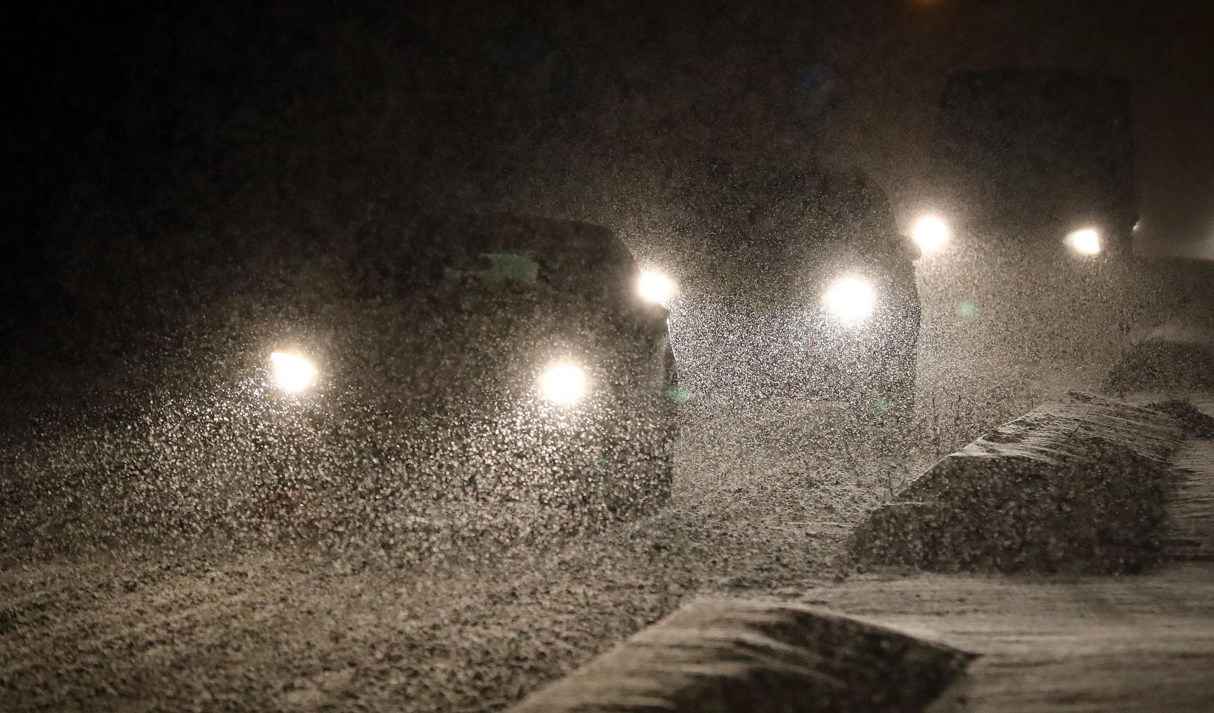
Snow is expected to shower parts of the UK amid near sub-zero temperatures, the Met Office is warning.
The latest cold snap will bring blankets of snow of up to 3cm deep to isolated parts of the South East, mainly Kent and parts of Sussex, between 6pm tonight and 10am on Saturday.
Snow of up to 6cm-deep meanwhile is expected to hit high altitude areas more than 200 metres above sea level, and 10cm deep at spots above 300 metres, in the north between Sheffield and Edinburgh.
This includes parts of the Pennines, the Lake District, Yorkshire Dales and the Moors.
Met Office press spokesman Oli Claydon said: “In contrast, in the South East, some areas may not see anything, and some 2cm or 3cm, because of the nature of showers.”
Temperatures are ranging between 0C and 4C today, but tonight in Scotland, they would dip to as low as -10C. The lowest temperature recorded this winter so far is -11C in Cromdale, in Moray, north east Scotland, on 5 December.
“Some disruption to transport is possible as well as slippery conditions on roads and pavements,” said a Met Office yellow warning statement.
Regarding northern Britain, it added: “Some temporary, local accumulations of snow to low levels are possible, though these will tend to melt as things warm up during Saturday morning and rain starts to dominate.
“Slippery conditions are likely, along with the risk of disruption to transport, especially on higher level routes.”
Chief Meteorologist Andy Page said: “Temperatures have fallen across the UK this week, bringing a typical mid-February cold snap and it is likely that we will see some snow, chiefly in central and eastern parts of England and Scotland. Many places in the west will remain dry and we don’t expect a great deal of snow to settle at low levels elsewhere, but in the far south east and across parts of northern England and southeast Scotland, it could accumulate for a while on Friday night and into Saturday.
“The easterly air flow will continue through the weekend and with strengthening winds it will feel very cold. Wind chill will make it feel more like -4C during the day, so make sure you are prepared if you are heading outdoors.”
Public Health England (PHE) is asking people to heat homes to at least 18C, stock up on essential medicine or food, and to wear plenty of thin layers rather than “fewer thick ones”.
Professor Paul Cosford, PHE medical director and director of health protection, said: “Whenever temperatures drop more people become seriously ill, including from pneumonia, heart attacks and strokes - that’s why it’s so important we all think what we can do for those at risk now.”
Blizzard-like conditions covered some parts of the UK with up to eight inches of snow earlier in January.
London mayor Sadiq Khan opened emergency shelters this winter as charities warned homeless people may die in the freezing cold.
Join our commenting forum
Join thought-provoking conversations, follow other Independent readers and see their replies
Comments