UK weather: Met Office issues an amber warning after heavy morning rainfall
Forecasters unsure where the heaviest downpours will hit
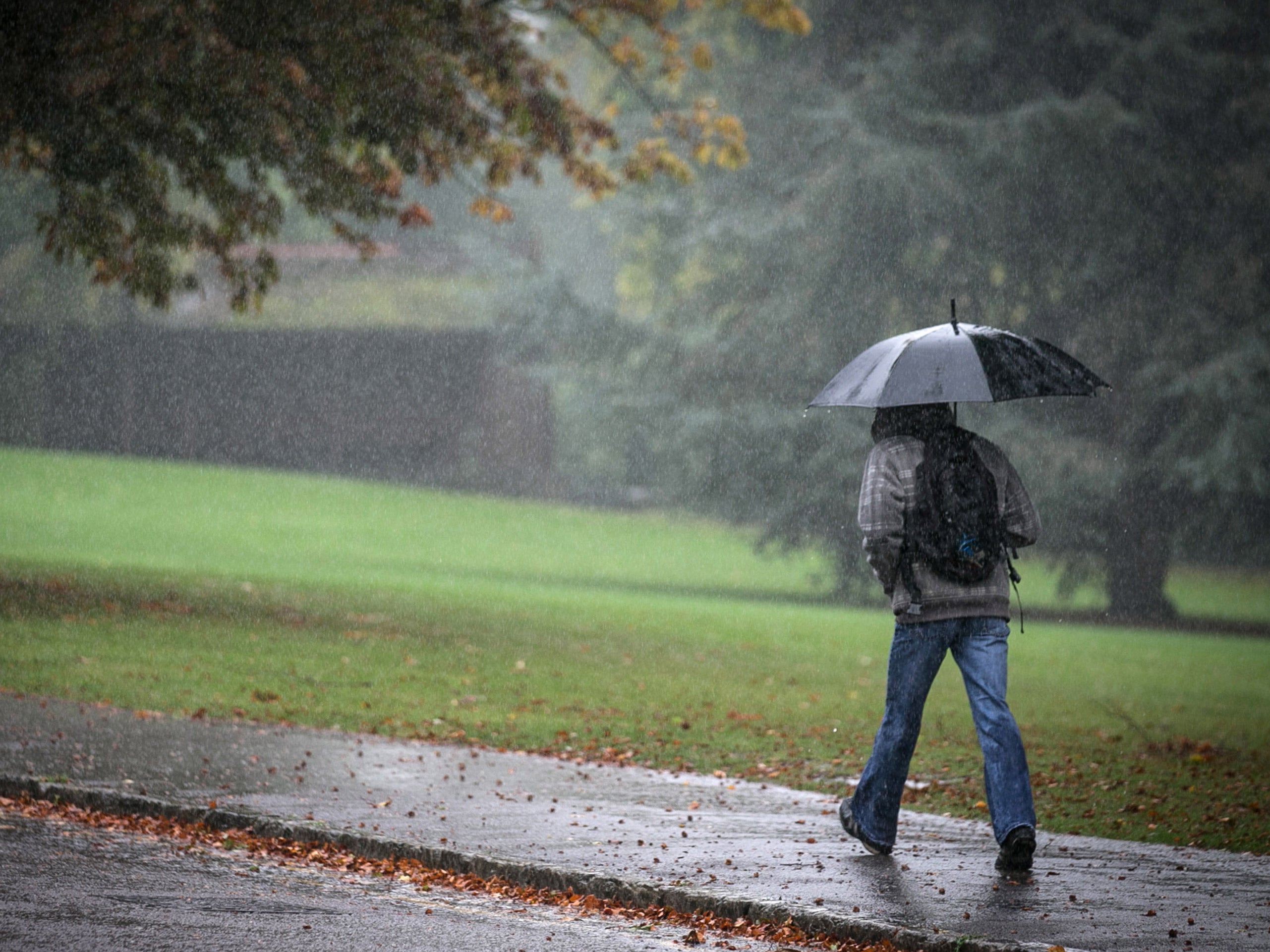
An amber weather warning has been issued for parts of the country after the south east of England was battered with heavy rain this morning.
The Met Office issued the warning for Essex, Kent, Sussex and Surrey after some places saw upwards of 40mm of rainfall earlier in the day.
Forecasters warned that more rain was expected into the evening which could exacerbate flooding that had already taken place in these areas.
The Met Office had previously issued a yellow weather warning for the south of England and Wales today.
Across the rest of the UK, torrential downpours could dump up to 30mm of rain in a single hour in certain areas, warned Emma Sharples, a meteorologist at the Met Office.
Heavy and thundery outbreak of rains are expected to sweep across the UK towards the north over the next 24 hours.
The average rainfall for August in southern England is 62.3mm, but Sharples warned that some areas could experience up to 30mm in just an hour.
“It’s possible there could be torrential downpours - 20 to 30mm [of rain] is possible in an hour anywhere," she told The Independent.
“As we head into this evening and overnight, the area of rain pushes further north, into north wales, northern England and eventually southern and eastern Scotland," she said.
"Again there is going to be some real heavy persistent rain for a time particularly as we head overnight through north-east England and eastern Scotland."
Although forecasters were unable to predict which areas would be affected, they warned there would be a risk of surface flooding.
A yellow warning for rain has been issued for tomorrow which also covers the south of Scotland.
Laura Caldwell, a forecaster for MeteoGroup, told The Independent that some areas could see up to 50mm of rainfall over the next 24 hours.
“There will be quite a lot of rain over quite a wide area but any one specific spot, if you do see torrential thundery downpour, you could see quite high rainfall totals and flash flooding.”
“At the minute, there are some very heavy showers and thunderstorms pushing up into the Sussex area, central southern and south east England. That will carry on pushing northwards throughout the day," she said.
But the weekend will bring some relief from the rain as the weather is expected to be drier and far less humid.
Join our commenting forum
Join thought-provoking conversations, follow other Independent readers and see their replies
Comments
Bookmark popover
Removed from bookmarks