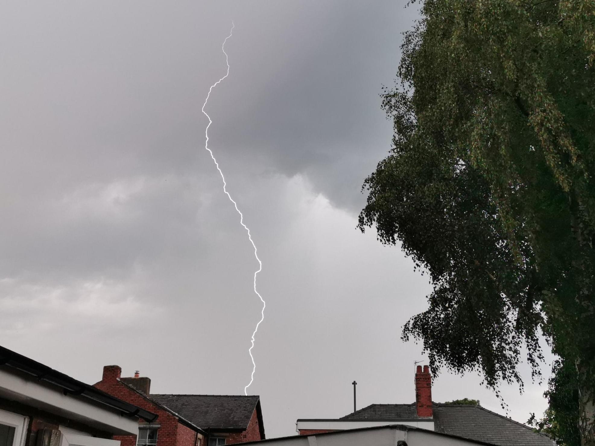
UK weather: Britain facing thunder, lightning and hail in warm and humid weekend
Northeast and southwest England will also see heavy downpours
Britons look set to see thunder, hail and heavy downpours in what forecasters say will be a warm and humid weekend.
Friday will get off to a dry and bright start in the southeast of England, with highs of 21C in London.
However, the northeast and north of England will continue to see torrential rain throughout the morning, and temperatures will struggle to get above 16C.
The Met Office has issued a yellow warning for the northeast, where there could be up to 2.7 inches of rain and a chance of localised flooding.
“Through the course of Friday, the persistent rain we’ve had in the north and east is still around, pushing into Northern Ireland and moving northwards,” said BBC meteorologist Helen Willetts.
An area of low pressure hovering around the south coast of the UK will bring more rain to southwest England, parts of the Midlands and south Wales.
Scotland will remain most dry and bright, with some isolated showers expected on the east coast as the day progresses.
Going into Saturday, the north and north east of England will see the worst of the wet conditions.
“We’ve got the potential for some large downfalls of rain, once again a weather front in north east and north of England through the day on Saturday, pushing north,” Ms Willetts added.
The area of low pressure hanging over the south coast will begin to move north on Saturday, bringing in warm winds from the south, making things feel warm and humid.
The mercury could hit 24C in the southeast of England, while Cardiff, Liverpool and Edinburgh will see temperatures north of 20C.
Despite the warmer conditions, there remains a risk of heavy downpours and thundery conditions in the south as well as the north.
“Slow moving and persistent showers, particularly prevalent through Wales, the Midlands and later northern England,” Ms Willetts explained.
“Those showers could really be quite nasty on Saturday, with large hail and thunder and lightning.”
Sunday will see another warm and muggy day with sunny spells for most, although thundery showers are likely to break out once again across the north and west, while northeastern areas look mostly cloudy.
Monday looks mostly cloudy for Scotland with spells of rain. Elsewhere, it will be partly cloudy with a few showers.
Another changeable day on Tuesday with a mix of cloud, sunny spells and scattered showers. Some showers may turn heavy with the risk of some thunder during the afternoon and evening.
The weather remains rather mixed Tuesday through Thursday with all parts seeing some drier and sunnier spells but with the chance of showers developing.
Showers may become heavy and merge into longer spells of rain at times with a risk of thunder also, although thunder seems most likely in southern or southwestern parts of the UK.
Northwestern areas should see the best of any drier and sunnier conditions.
Eastern coasts look to be cooler with mist here at the start of the period. Elsewhere though temperatures should be warm or very warm at times.
Join our commenting forum
Join thought-provoking conversations, follow other Independent readers and see their replies
Comments
Bookmark popover
Removed from bookmarks