UK weather forecast: Thunderstorm warnings in place as downpours continue to soak Britain, causing damage and disruption on roads
Torrential rain to move across UK towards western areas
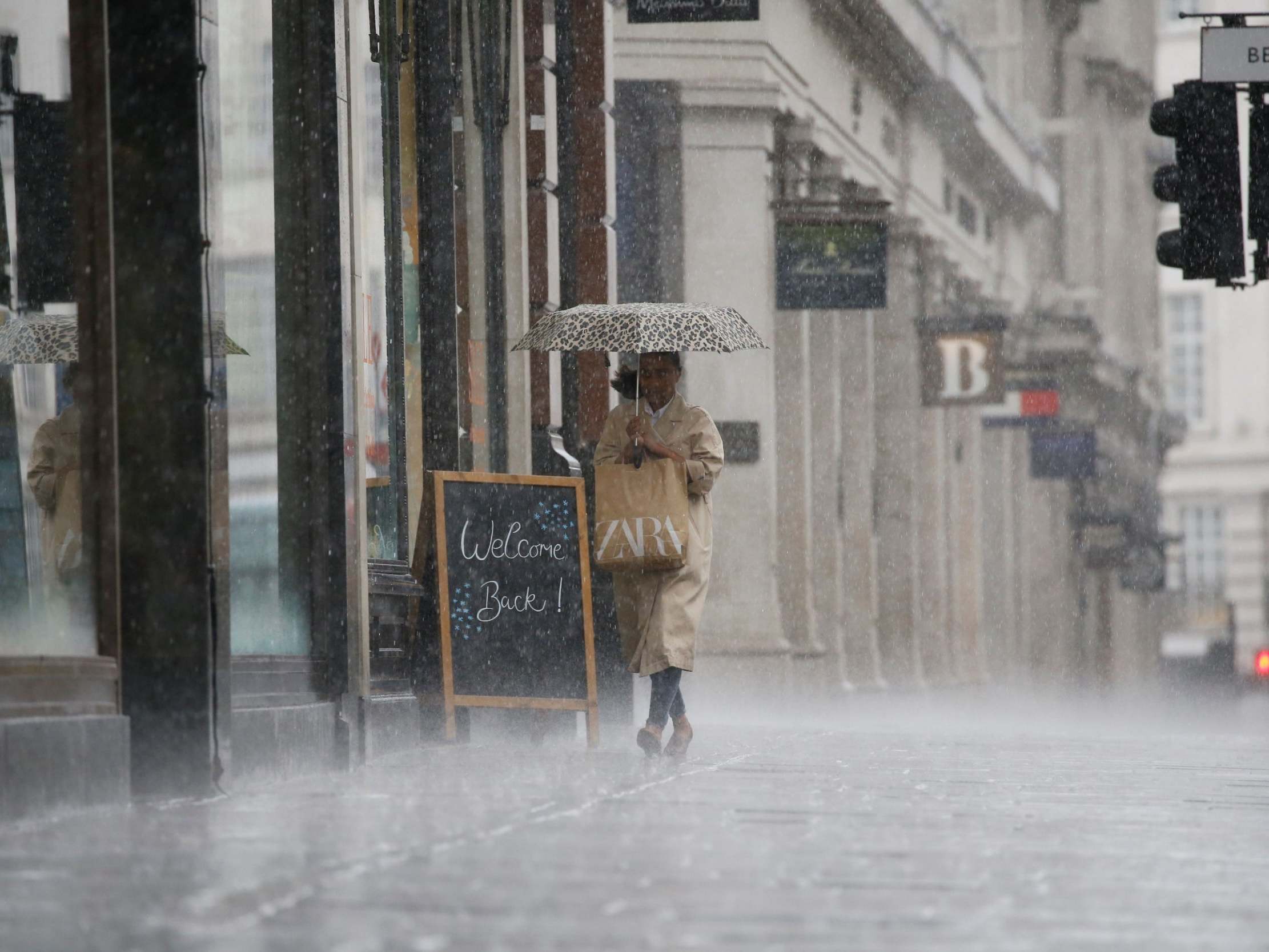
Thunderstorm and rain warnings, as well as flood alerts, are in place across much of England and Wales as torrential downpours damaged a road surface in Nottingham and flooding closed the A25.
The A25 was closed in both directions between Beeston and Nottingham, with Nottinghamshire Police and Highways England staff helping to clear flood waters.
According to The Nottingham Post, road surface damage caused disruption to the city’s transport services. Police are urging drivers to take extra care on the roads.
The Met Office’s yellow rain warning covers the entirety of the Midlands and most of Wales, overlapping with Oxford, London and Cardiff, which are also covered by the thunderstorm warning which expands throughout the south of England.
The biggest of the thundery showers will be confined to southern counties today, with some drier weather emerging after the storms later in the evening for parts of the south east.
According to the Met Office, the heavy rain may lead to “spray and flooding on roads” which may make journey times longer and there could also be “some interruption to power supplies and other services”.
Thunderstorms bring a small chance of flooding and “damage to some buildings from floodwater, lightning strikes, hail or strong winds”.
The Environment Agency has concentrated flood alerts in the north west of England as a precaution, as “river and surface water flooding may affect these areas”.
Spells of showery rain are expected to fall over parts of northern and western UK throughout Thursday night, with temperatures remaining mild and muggy for most.
Conditions are expected to brighten up on Friday and the weekend, with a mixture of cloud and sunnier spells across the country. Some showers are expected to occur, but not nearly as heavy as they have been in recent days.
Deputy chief meteorologist Martin Young said: “As winds swing to the southwest over the weekend it’ll turn fresher and breezier and east coastal areas should lose the low cloud and mist, feeling warmer here as a result.
“On Saturday, we’ll see a spell of rain moving across the UK from the west, but most can expect a drier day on Sunday.”
Join our commenting forum
Join thought-provoking conversations, follow other Independent readers and see their replies
Comments
Bookmark popover
Removed from bookmarks