UK weather: Snow 'sprinkling' likely in higher regions as temperatures drop
Frost is likely overnight as mild December is left behind
Parts of Britain are set to experience frost and snow as the unseasonably mild weather gives way sub-zero temperatures.
Forecasters say the mercury will hover around the freezing mark for most nights this week.
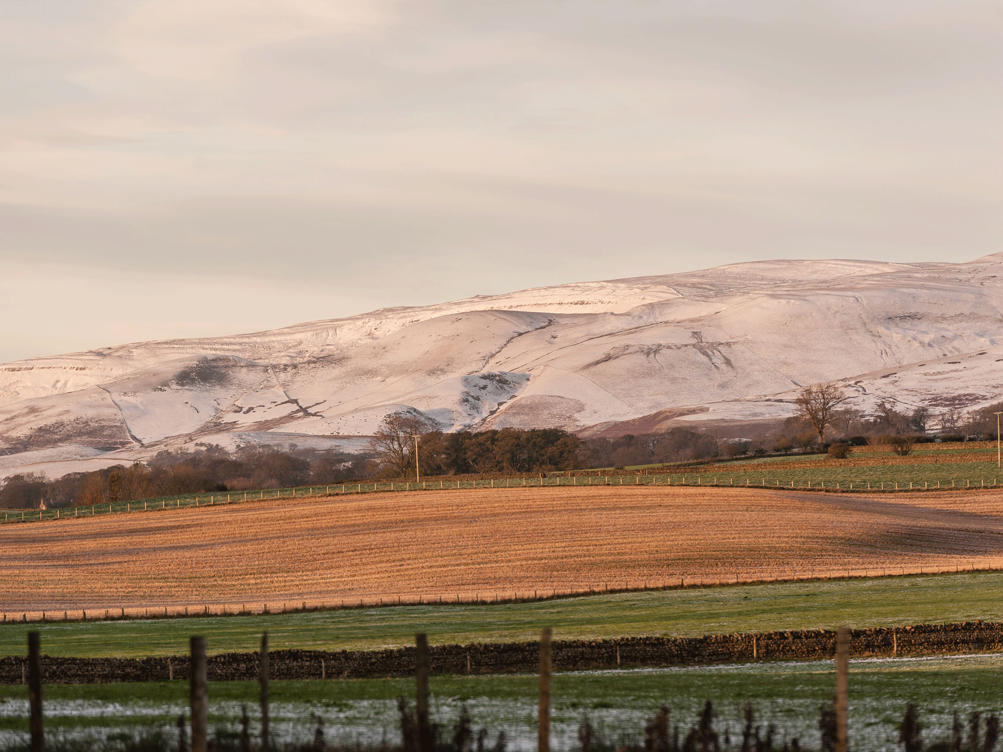
And the Met Office said higher altitude areas should expect to see the white stuff, with parts of Scotland and North Wales likely to see snowfall.
Even hillier parts of the Midlands and northern England might see a "sprinkling", according to the meteorologists.
This reflects a colder snap across the nation generally - particularly outside the cities towards the second half of the week.
Where there is not snow or frost, temperatures will still be dropping down into the minus figures at night, the Met Office said.
Spokeswoman for the Met Office Lindsey Mears said: "It's getting progressively colder as the week goes on. It's really quite normal for this time of the year but a contrast to what we have had. It's going to be showery today in places and increasingly windy across southern and western areas.
"On Tuesday we may see some hill snow further down, high pressure building. It will be very cold, a bit of a wind chill factor as well and possibly in the region down as far as the Midlands a sprinkling of snow, ice and frost as the day goes on towards evening."
Colder air across the north of the UK has started to sink southwards, with Bristol looking to be about 1 to 2 C, and the surrounding rural areas at freezing.
Parts of the Midlands could reach -3 C outside urban centres, putting the Black Country on a par with Glasgow in Scotland.
Even higher altitude parts of the coast might see some slight snowfall by the weekend, added the Met Office.
Join our commenting forum
Join thought-provoking conversations, follow other Independent readers and see their replies
Comments
Bookmark popover
Removed from bookmarks