UK weather latest: 'Thundersnow' on its way as north battered by snow and heavy wind
At least 500 homes have been left without electricity after strong winds hit overnight
Blizzards and “thundersnow” are set to further batter the UK after high winds caused damage in parts of the country overnight.
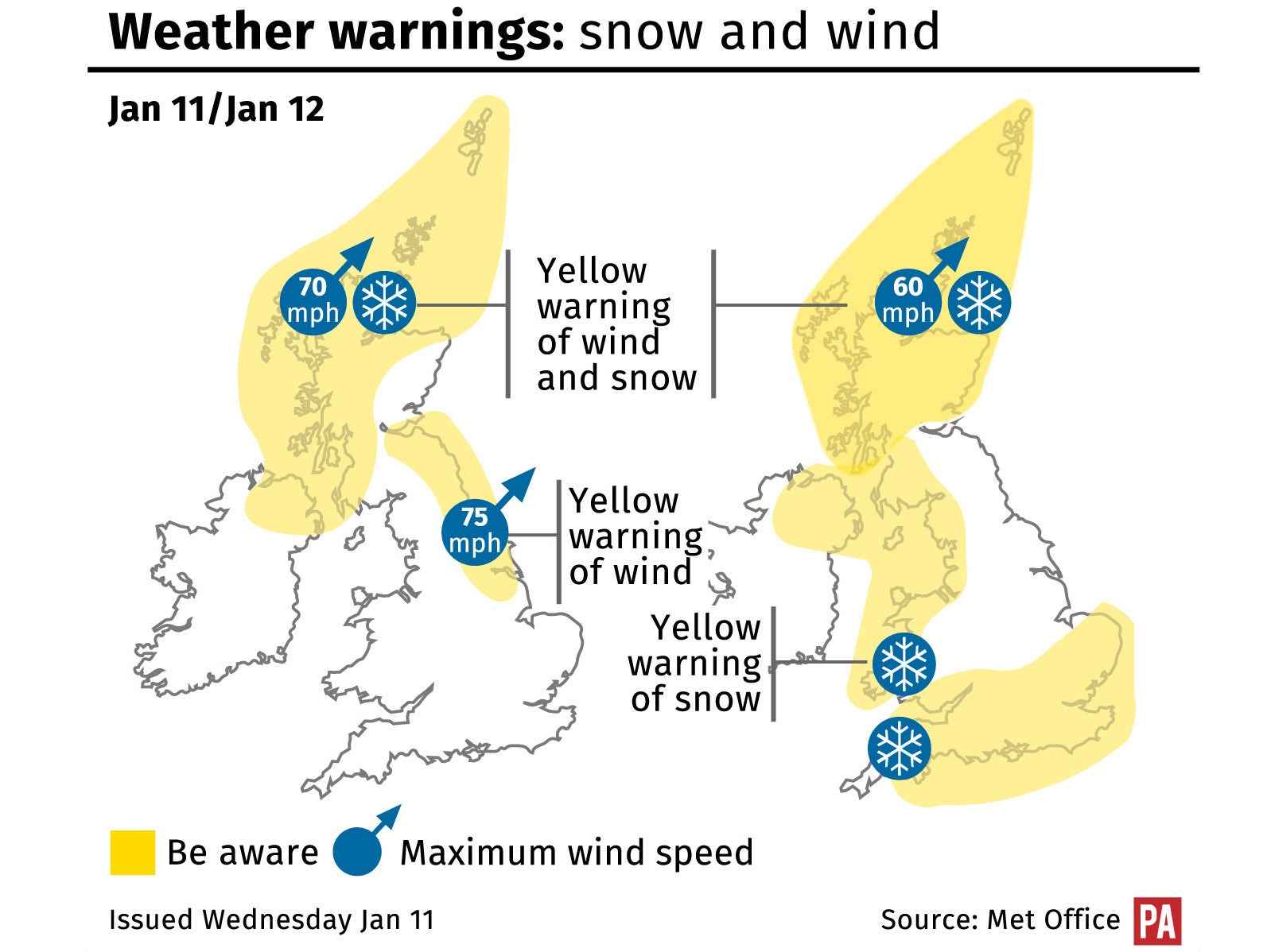
Snowfall could lead to dangerous road conditions, warned the Met Office, as severe weather warnings for wind and snow were issued for Scotland, the North of England and Northern Ireland.
And tomorrow, the Arctic cold spell will spread further south, bringing snow and hazardous conditions to much of the UK.
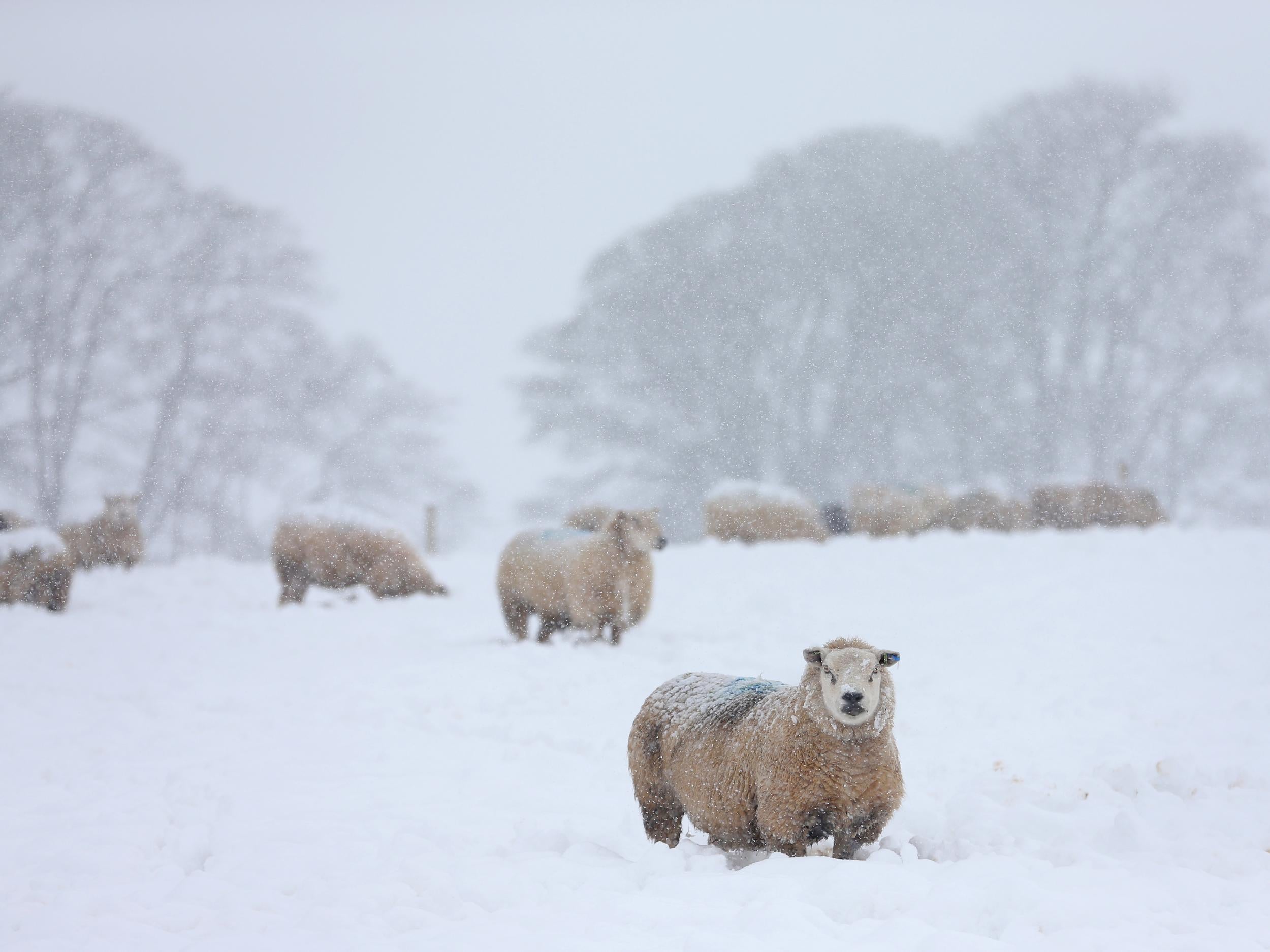
Around 0.8in (2cm) of snow is possible in low-lying areas, while 3.9in (10cm) could fall on high ground.
Power cuts were reported across Scotland and north-east England after gusts of up to 93mph were recorded last night, leaving at least 545 homes without electricity, according to Northern Powergrid, which operates in the North East and Yorkshire.
Trees and walls came down in Northumbria, police said, while the Forth Road Bridge near Edinburgh was been closed in both directions after a lorry was blown over at around 2am.
No-one was injured but the bridge is likely to remain closed for some time as the strong winds hamper recovery efforts.
Reports of fallen trees, damage to houses and road closures in Yorkshire and locations around Newcastle.
Britain should prepare for “a very unsettled and cold day across the northern half of the country,” said Met Office forecaster Craig Snell.
Thunder and lightening this evening could disrupt the power supply and bring so-called “thundersnow” to some areas, he said.
“Where you get very active or vigorous showers – which is what we are going to see – then we could well get some thunder as well. It is definitely possible,” Met Office meterologist Emma Sharples said of the “thundersnow” phenomenon.
The Met Office's snow warning extends to parts of north-west England on Thursday, with a risk of wintry weather in southern England, while strong winds and wintry showers will continue to affect Scotland.
Mr Snell said the next few days would be “distinctly colder”, with bitter weather across all parts of the country by Thursday.
He added that it would remain “windy and cold on Friday, with potentially some large waves and coastal flooding going down the eastern side of the country”.
Additional reporting from Press Association
Join our commenting forum
Join thought-provoking conversations, follow other Independent readers and see their replies
Comments
Bookmark popover
Removed from bookmarks