UK weather: Unseasonably warm temperatures will not last as another cold snap brings snow
It feels like spring in many places today but temperatures will soon plummet
It feels as if spring has arrived early in much of the UK today as temperatures rise to a balmy 12C but the warmth will not last.
Temperatures are far above average, particularly in the south of England where they are likely to remain in double figures even overnight.
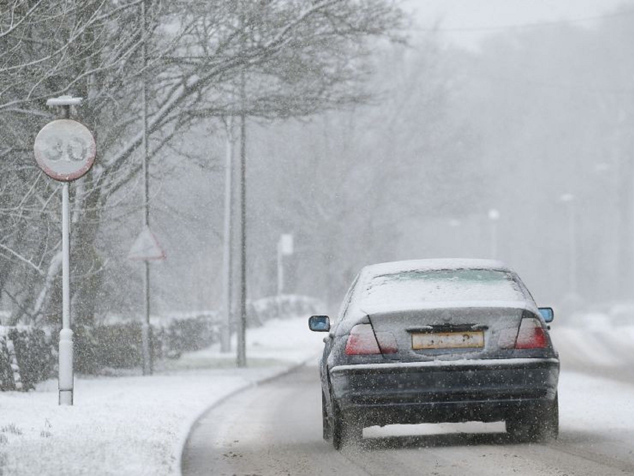
But another cold snap is forecast tomorrow, bringing the threat of yet more snow to most of Scotland, Northern Ireland and parts of northern England.
A forecaster at the Met Office said: “We’re flip-flopping for the next few days.
“Today we've got an air mass coming in from the west bringing warmer but wetter weather. It’s going to very mild.”
Even in March minimum temperatures average less than 3C but tonight that figure will be closer to 10C across Britain.
Showers will get heavier into Thursday and turn wintry as the temperature plummets, particularly on high ground.
Warnings for ice have been issued across Scotland, Northern Ireland and northern England for tomorrow and Friday, where any snow that falls is expected to melt in most places.
The weekend is expected to see colder and increasingly windy conditions with possible gales on Sunday as a new weather front moves in.
“Spring actually starts on 1 March, meteorologically speaking, so it technically beging this weekend but the temperature is going to drop,” the forecaster said.
Flood alerts are still in place of parts of England after heavy rain and high spring tides.
A man died in Scarborough when he was swept to sea during gale force winds on Sunday and in London, the banks of the River Thames burst after bouts of torrential rain.
Join our commenting forum
Join thought-provoking conversations, follow other Independent readers and see their replies
Comments
Bookmark popover
Removed from bookmarks