UK weather: Yellow warning issued, more rain and even snow predicted for start of 2016
Clean-up efforts in flood-hit areas of Scotland hit by Storm Frank could be hampered by ice and snow.
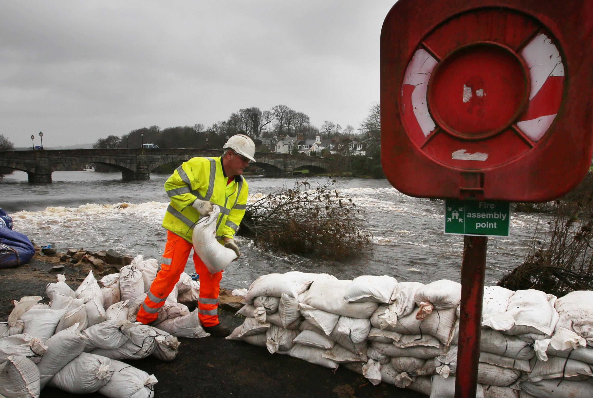
Flood warnings remain in place across the UK as forecasters predict more rain, and even snow, for the start of 2016.
More than a dozen Environment Agency (EA) warnings to expect flooding remained in place for parts of the Midlands, North East, North West and Wales as the Met Office issued a yellow alert for "spells of persistent and heavy rain" throughout Friday.
And clean-up efforts in flood-hit areas of Scotland hit by Storm Frank could be hampered by ice and snow.
Earlier, the EA said flood-ravaged regions will continue to face high river levels, particularly the River Severn in parts of Shropshire, Worcestershire and Gloucestershire and the River Ouse near York.
The levels are expected to gradually fall over the weekend and all severe flood warnings have been removed.
Chris Hogan, a forecaster for MeteoGroup, said: "Today we are going to get a frontal system coming off the Atlantic which will hit Cornwall in the morning and then move up, pushing across the country.
"It should clear overnight into Saturday to a few scattered showers. There are still flood risks but the rain is not quite as torrential as we have been having."
The Met Office has issued yellow "be aware" warnings for snow and ice covering Northern Ireland and parts of Scotland, including Dumfries and Galloway, Strathclyde, Grampian and the Highlands.
Its rain warning said up to 20mm could fall in areas in the South West and South Wales, rising to as much as 50mm in hilly areas such as the Brecon Beacons and Dartmoor.
Looking ahead to the weekend, the forecaster said similar amounts of rain could be expected on Sunday.
"Following a brief respite on Saturday night, a further frontal system will bring more rain to these same areas through Sunday morning before clearing away north-eastwards during Sunday afternoon," it said on its website.
"Be aware that some local disruption from surface water and river flooding looks likely.
"While these amounts of rain wouldn't usually lead to many impacts, given the saturated nature of the ground there is a greater risk of localised surface water flooding that might normally be expected. Some rivers within the area also remain high."
Copyright: Press Association
Join our commenting forum
Join thought-provoking conversations, follow other Independent readers and see their replies
Comments
Bookmark popover
Removed from bookmarks