UK weather: Snow warning for Christmas Day and Boxing Day issued by Met Office
Torrential rain but mild temperatures for the rest of Britain over Christmas, says Met Office
A snow warning has been issued for Christmas Day with up to 10cm forecast in some parts of the UK as gale force winds bring the risk of drifting and blizzards.
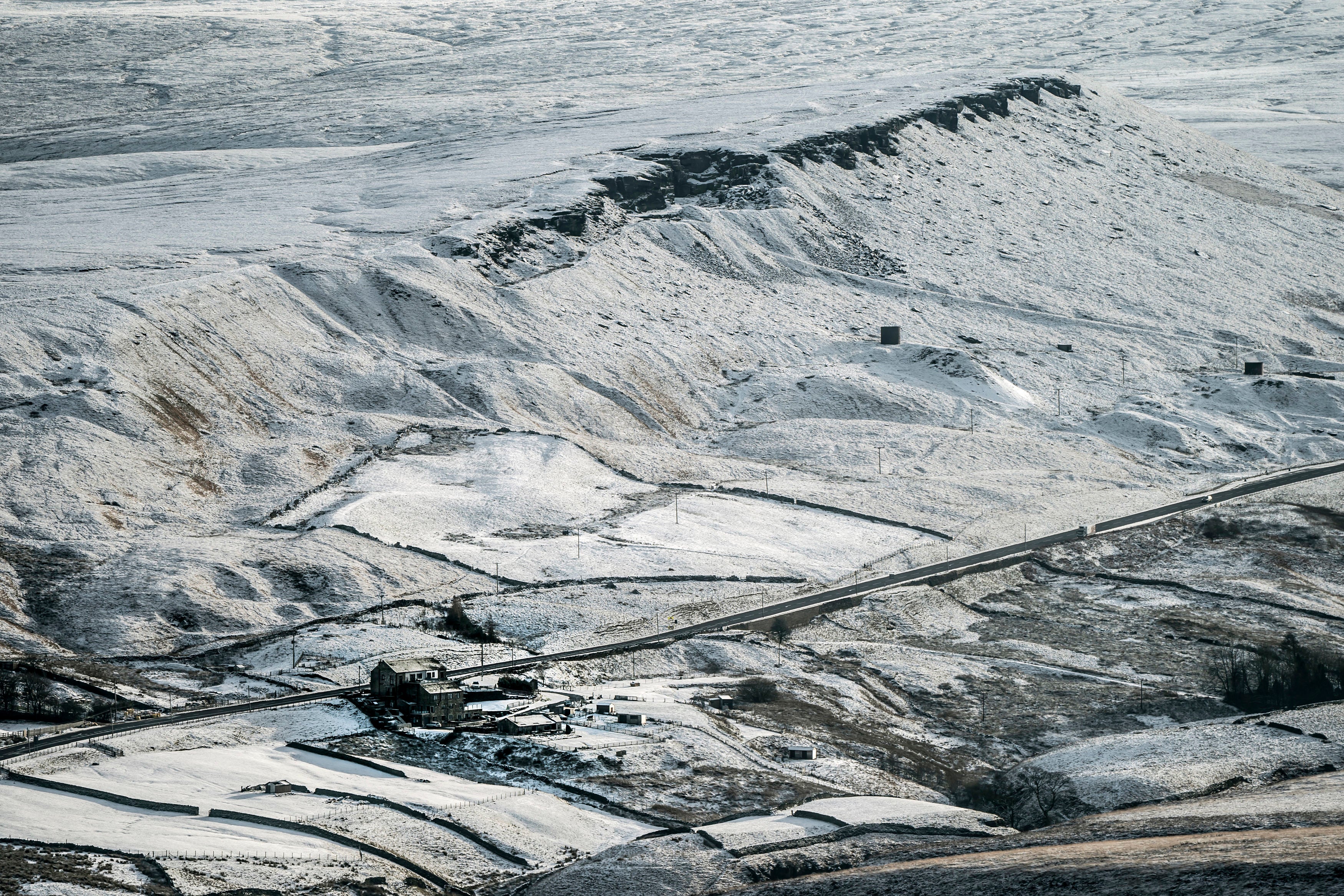
Frequent blustery snow showers are likely to cause some travel disruption in higher areas of Scotland, the Met Office said in a yellow weather alert on Friday.
However, it won’t be a white Christmas for the rest of Britain, with torrential rain forecast to dampen festive spirits and pose difficulties for motorists driving home.
A wet Christmas Eve is likely to continue into the weekend, but there will be mild temperatures of as high as 13C in the south of England.
"It will be heavy rain and difficult driving conditions, with the potential for some surface water build-up as it drains away,” said Met Office spokesperson Oli Claydon.


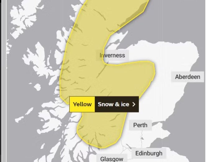
In Scotland, the yellow weather warning covers most of the Highlands along with parts of Stirlingshire and Argyll.
It is in place from 9pm on 25 December and will last until 6pm on Boxing Day, with snow, high winds and freezing temperatures forecast.
“A very small chance of interruptions to power supplies … probably some icy patches on some untreated roads, pavements and cycle paths,” the Met Office said.

Lower areas are forecast to receive 1-3cm of snow while higher ground can expect up to 10cm of snow.
“Strengthening west/northwesterly winds will bring increasingly frequent wintry showers to the west of Scotland through Sunday night and into Monday morning,” it said.
“Icy surfaces will be an additional hazard. Snow will become increasingly confined to higher ground through Monday morning, with a further 10cm or so possible by the end of the day.”
It added: “Strong to gale force winds bring the risk of drifting and blizzards for upland areas, with a small risk of isolated power outages as the snow and strong wind affects power lines.”
MET OFFICE OUTLOOK
Friday
Rain, some heavy, continuing northwards across northern parts of UK, with some hill snow north of the Central Lowlands. Somewhat clearer, milder conditions further south following to most areas, but scattered heavy, blustery showers towards western and southern coasts. Breezy.
Christmas Eve
Early rain and hill snow over Scotland slowly clearing northwards. Otherwise sunny intervals and showers, some heavy showers, with possible hail and thunder, focused in the west. Mild but windy.
Outlook for Sunday to Tuesday:
Mild for most Christmas Day with showers across many areas. Colder Boxing Day with some snow showers in parts of Scotland. Outbreaks of rain spreading to many areas on Tuesday.
Join our commenting forum
Join thought-provoking conversations, follow other Independent readers and see their replies
Comments
Bookmark popover
Removed from bookmarks