In Pictures: It’s a September scorcher – with ‘hottest day’ still to come
The September heatwave is expected to reach its zenith on Saturday.
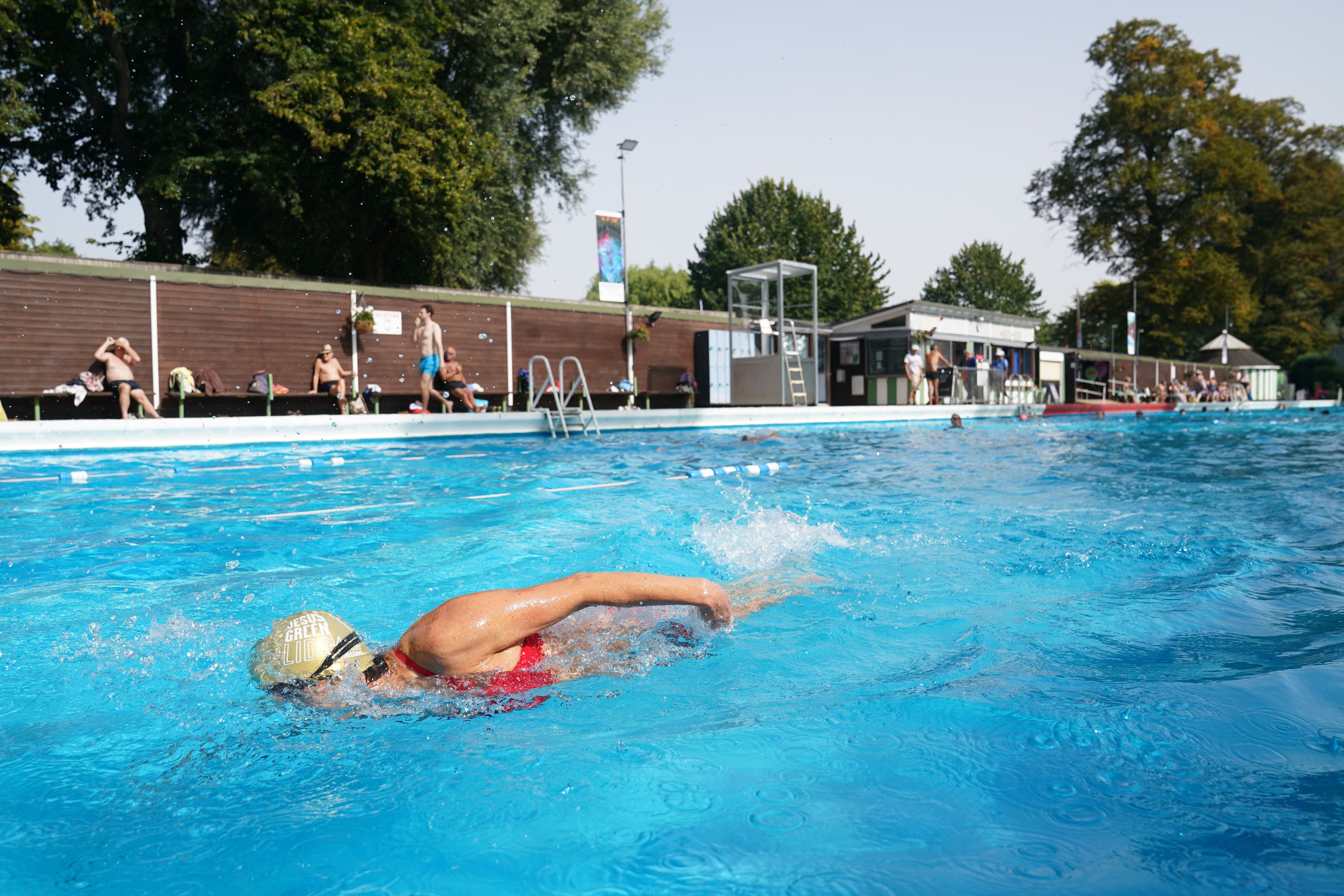
They have had to wait for it this year – but sun lovers are finally enjoying sizzling temperatures.
Following a washout July and August, the September heatwave is expected to reach its zenith on Saturday, when temperatures could hit 33C in London, according to forecasters.
It is likely to be the hottest day of the year – beating 32.2C recorded in June.
The UK Health Security Agency has issued an amber warning for heat until 9pm on Sunday.
This means weather impacts are likely to be felt across the health service, with those aged above 65 or with pre-existing respiratory or cardiovascular disease at greater risk.
Although temperatures have risen this high before in September, it is unusual for the heat to last so long, with the Met Office predicting five to six days above 30C for some areas.
The heatwave is being driven by tropical storms pushing a high pressure system over the UK, with the jet stream having moved to the north and bending into what is known as an omega blocking pattern.
Named after the Greek letter omega because of its shape, this system occurs when an area of high pressure gets stuck between two areas of low-pressure to the west and east and also slightly south.
This has brought torrential rain and flooding for Spain and Greece but hot, dry and clear conditions for the UK and central Europe.
Bookmark popover
Removed from bookmarks