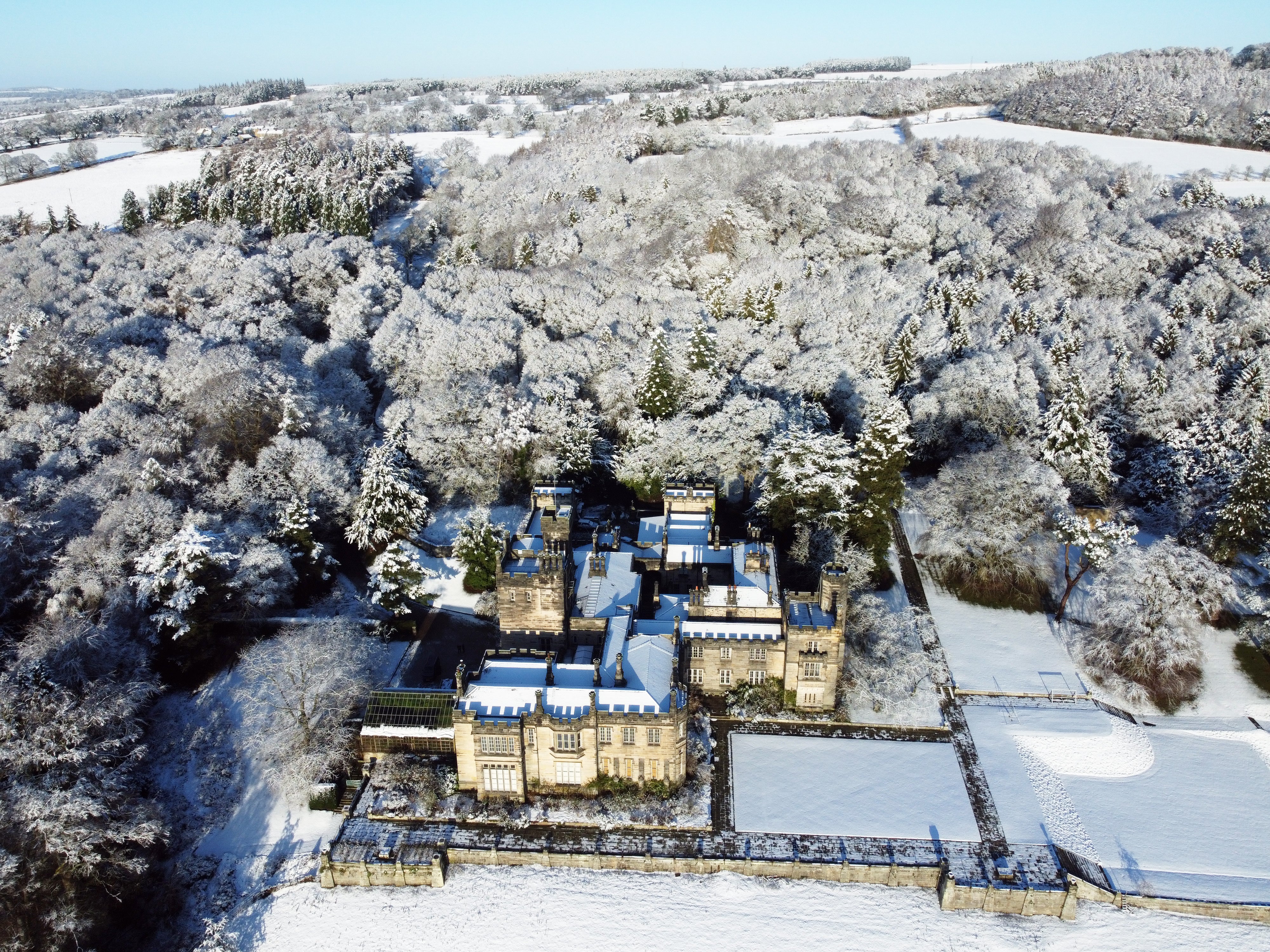
Warnings issued for snow and ice in parts of UK as temperatures plunge
The warnings were issued for parts of northern England and Scotland.

Yellow weather warnings for snow and ice have been issued for parts of northern England and Scotland on Thursday.
The Met Office forecasts snowfall in Greater Manchester, Lancashire, Cumbria, Merseyside Yorkshire and Scotland between 10am and 4pm, followed by freezing conditions in the evening and wintry showers into Friday.
Met Office spokesman Grahame Madge said: “As we go into the overnight period temperatures will start to drop and in some of the sheltered glens in Scotland we could see minus 10 (Celsius) or even colder temperatures recorded. Across the UK there is not going to be many places that will remain above freezing.
“Tomorrow (Thursday) we will start to get this weather front coming in from the west. We are going to see that moisture-laden air coming in, bumping into this cold air and whenever you get that you tend to get transient snow. It’s likely to last for one or two hours.”
Forecasters say the snow may cause some travel disruption over higher routes during the day with two to five centimetres likely above heights of 200 to 300 metres, and 10 to 15cm above 400 metres.
Strong winds are expected to lead to drifting and blizzard conditions in the Hebrides and coastal areas of Scotland.
Frequent wintry showers during Thursday evening and overnight are likely to lead to a fresh covering of snow for areas above 200 metres, with freezing conditions returning and more possible travel disruption.
The Met Office forecasts milder conditions going into the weekend.
Mr Madge said: “Friday into Saturday we have got another frontal system moving across the UK. That’s more likely to deliver rain more widely.
“By Saturday and into the weekend any wintry showers are likely to be just over the higher tops and fells.”
Bookmark popover
Removed from bookmarks