Hurricane Arthur: State of emergency declared as storm threatens to hit North Carolina on Fourth of July
Storm threatens most of the USA's East Coast

The first named tropical storm of the Atlantic season strengthened overnight to become Hurricane Arthur. With sustained winds of 75mph it is now tracking up the eastern seaboard of the United States threatening to lash coastal North Carolina tonight and into tomorrow and spoil Fourth of July plans as far north as Boston on Friday.
Governor Pat McCrory of North Carolina has declared a state of emergency in 25 counties along the coast and a mandatory evacuation order was in effect for Hatteras Island along the Outer Banks, a necklace of outlying, sandy isles that together are very popular summertime destination for holidaymakers.
A voluntary evacuation had also been put in place for Ocracoke Island, known for its beaches and wild horses. It can only be reached by ferry and officials were urging people to leave during the daylight hours today as they warned of high winds, rough seas and very dangerous riptide currents associated with the approaching storm.
“Don’t put your stupid hat on,” Governor McCrory said, predicting that, as ever, many in the area would choose either to ride out the storm or even attempt to enjoy for its surfing opportunities. “Our major goal is to ensure that no lives are lost during this upcoming storm.”
Early this morning, the storm was about 190 miles south southeast of Cape Fear, North Carolina. It is not expected to make landfall anywhere in the US but it is effect is likely to be felt all the way up the East Coast. In Boston, plans for Fourth of July fireworks and a pop concert have been moved forward one day to tonight because of fears of a washout on Friday night. Firework displaces all up and down the mid-Atlantic were also at risk.
Officials along Cape Cod, another high-density summer holiday spot, and the islands of Nantucket and Martha’s Vineyard, were also keep a keen eye on Arthur.
The Outer Banks region is well accustomed to the perils of hurricanes, generally receiving the brunt of one at least once or twice a year. Hatteras, with its famous Cape Hatteras lighthouse, is especially vulnerable because it is so low-lying. Moreover, evacuation orders are usually made as early as possible because the only way inland is by a single four-lane road that twice in recent years has been sliced in half by a hurricane making it impassable.
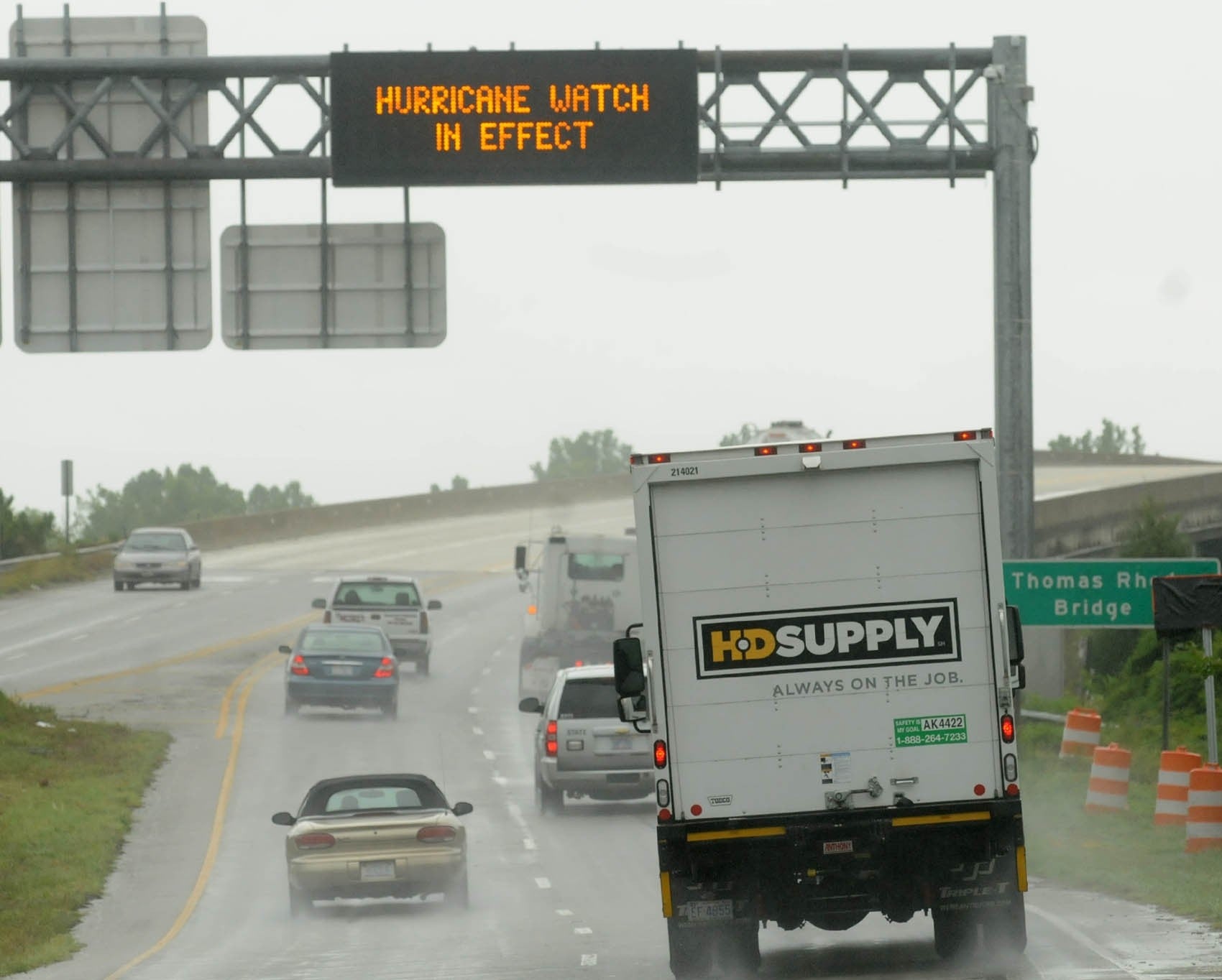
This morning the highway is already clogged with cars and motorhomes heading north to get out of the way of danger and officials warned that of even more difficult traffic later.
On Thursday, the National Hurricane Centre announced that Arther is expected to strengthen to a category 2 before finally making landfall in the Canadian Maritimes as a tropical storm on Saturday. Among those not planning to leave is Bill Motley, who works at Ace Hardware in Nags Head, and has lived on the Outer Banks for 13 years. “I’ve been through Irene. I went through Isabelle. I’m not even worried about this one. I'm more worried about my tomato plants. With the wind coming, if we get a 50-mph gust, it will knock over my tomato plants.”
Less sanguine, however, is Gary Reinhardt, 63, who arrived in the Outer Banks from Sarasota, Florida, with his wife last Saturday. He intends to get out as soon as possible today. “I’m worried about the road. It took way too long to get here.”
Arthur is making its run up the coast as the same time as huge swathes of the eastern United States are bracing for a second night of violent thunderstorms and flooding today. Not connected directly with the hurricane system, towering storms broke out on Thursday night over a huge area of the east, triggering dramatic lightening displays in New York City for several hours – with bolts repeatedly striking the mast of the new World Trade skyscraper – and causing widespread flooding inland.
Bostonians were hurriedly rearranging plans to attend the annual outdoor concert and the fireworks display that is launched from barges on the Charles River. Officials said they had no choice but hold the party tonight because of the threat of Arthur on the Fourth of July itself.
“It’s not optimal. We wish it were, but we've got to deal with this,” state police Col. Timothy Alben said.
Join our commenting forum
Join thought-provoking conversations, follow other Independent readers and see their replies
Comments