Hurricane Sally: 'Rapidly strengthened' storm approaching central Gulf Coast
Storm to make landfall near southeast Louisiana and coastal Mississippi
The National Weather Service has declared a slow-moving storm in the Gulf of Mexico has “rapidly strengthened” to a hurricane with sustained winds reaching 85mph with higher gusts.
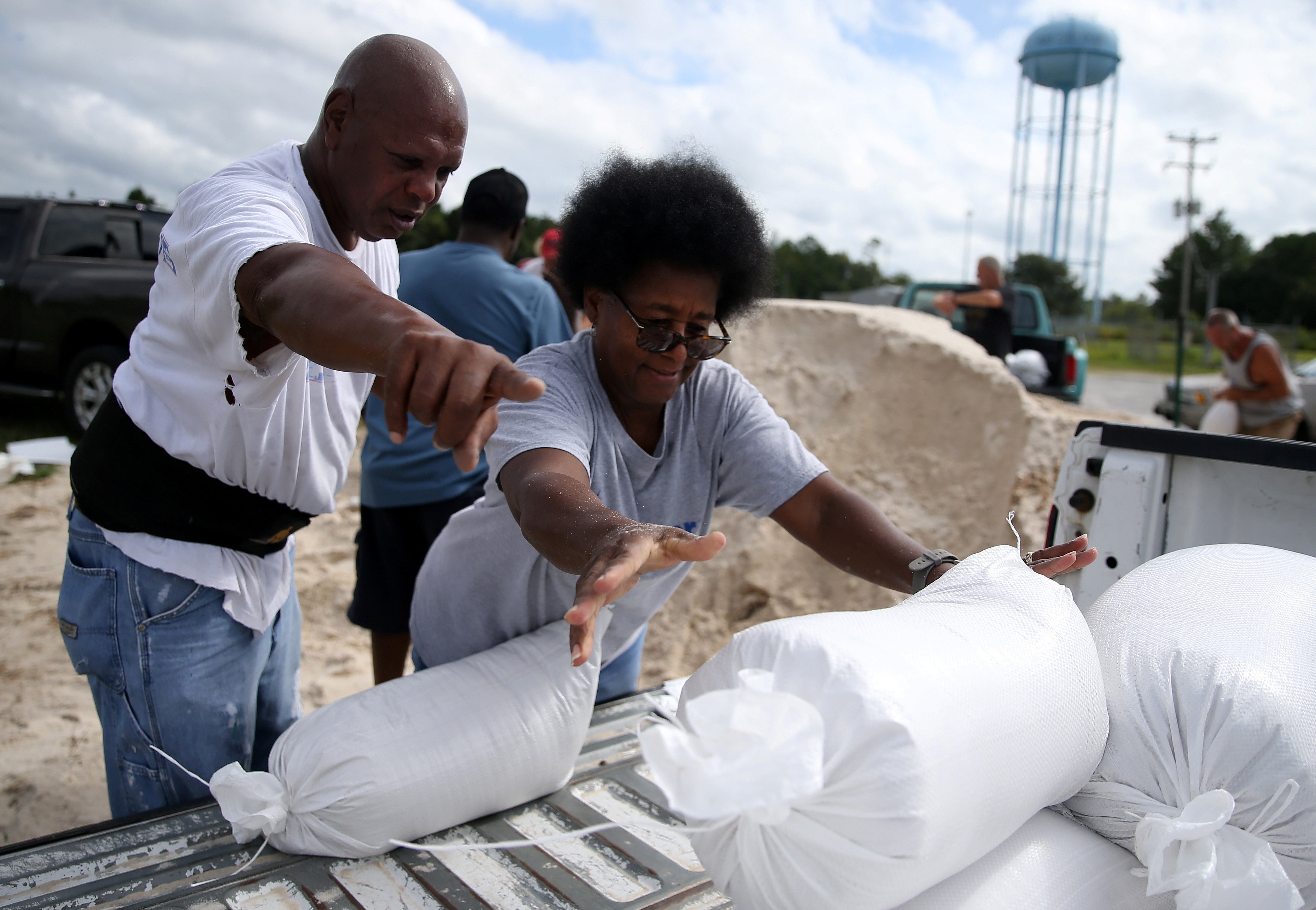
Hurricane Sally could make landfall as a category 2 storm on Tuesday, bringing potentially flooding rains and devastating winds as residents along the Gulf Coast from Louisiana to the Florida panhandle make final preparations. Sally is expected to strengthen as it nears the shoreline, the agency announced.
The storm could bring winds up to 105mph, shy of a category 3 hurricane.
New Orleans and its outlying areas, as well as coastal Mississippi and Alabama, are under hurricane warnings. The warnings extend from Morgan City, Louisiana to the Alabama-Florida border.
“On the forecast track, the center of Sally will move over the north-central Gulf of Mexico today, approach southeastern Louisiana tonight, and make landfall in the hurricane warning area on Tuesday or Tuesday night,” the National Weather Service announced.

Storm surge warnings are also in effect from Port Fourchon, Louisiana to the Alabama-Florida border.
That surge could force up to 6 feet of water in Lake Pontchartrain along New Orleans, and up to 11 feet at the mouth of the Mississippi River.
The storm marks the second time in recorded history that the Atlantic Ocean has produced five tropical cyclones simultaneously, on the heels of Hurricane Laura’s devastation in southwest Louisiana.
In its latest forecast, the National Weather Service predicted the slow-moving system could dump up to two feet of rain and generate flash flooding in some parts of Louisiana, Mississippi, Alabama and Florida, as it hovers over the impact area.
Inland areas could see six to 12 inches of rainfall as it moves on a northeastern track and weakens into a tropical depression before dissipating through early Friday.
Louisiana Governor John Bel Edwards declared a state of emergency on Saturday.
Low-lying areas outside of New Orleans’ flood protection system could see up to 9 feet of water; New Orleans Mayor LaToya Cantrell issued a mandatory evacuation order in those areas on Saturday.
Thousands of residents in southwestern Louisiana sought shelter in the New Orleans area after Laura’s devastation. Hotels in the city’s metropolitan area are currently housing people from Lake Charles and other parts of the state that saw the strongest of three named storms hit the state this season.
Join our commenting forum
Join thought-provoking conversations, follow other Independent readers and see their replies
Comments
Bookmark popover
Removed from bookmarks