New York weather: First snowfall in tri state area could break November records
New York City could see record-breaking snowfall
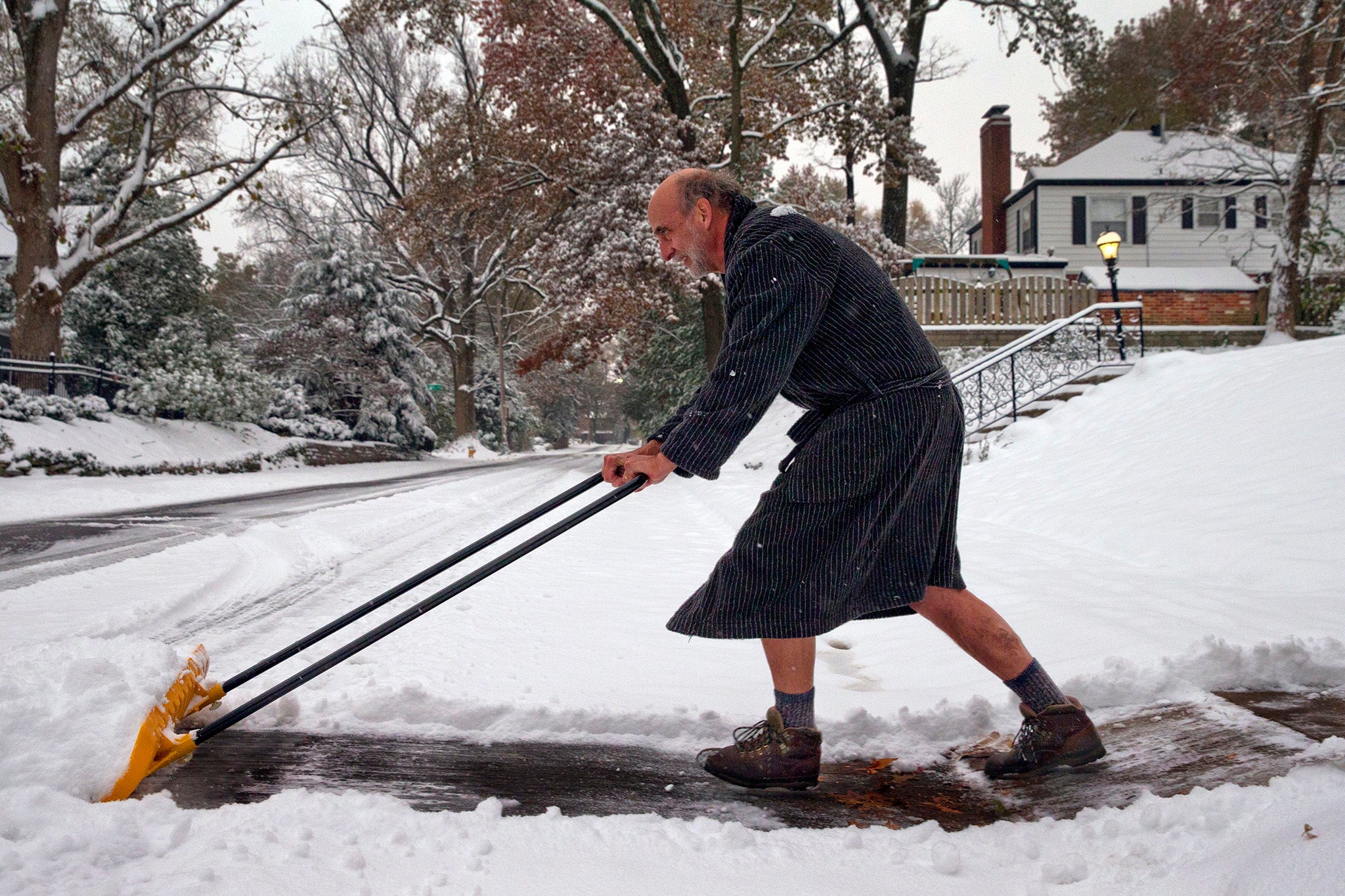
New Yorkers are facing the state’s first snowfall of the season with some forecasters predicting records could be broken for this time of year.
The snow was on track to surpass the city’s record of 4.7 inches accumulating on this day in 2012, with parts of New York City expected to receive anywhere from 5.3 to 6.5 inches, according to several forecasts.
However, more conservative forecasts have predicted the snow could turn into rain by Thursday night, keeping accumulation levels low across the city and tri state area. It all depends on whether the region warms up throughout the afternoon.
For example, Sussex and Montgomery counties were expected to receive 3.4 and 2.7 inches of snowfall accumulation respectively.
Under the more bullish models, Sussex and Montgomery could see anywhere from three to eight inches of snowfall.
The tri state area has maintained daily snowfall accumulation records since 1869.
In a press conference held Wednesday, the state’s Department of Sanitation warned New Yorkers about the oncoming snow.
“Its gonna’ get very, very slushy,” Kathryn Garcia, who represents the Commissioner of Department of Sanitation, told reporters. “Evening commute will be miserable. It will be fast and furious.”
Several schools announced plans to close early on Thursday as news arrived the tri state could receive upwards of three inches of snow throughout the day.
Meanwhile, the National Weather Service has issued a winter weather advisory for parts of New Jersey that’s in effect until early Friday morning as a storm system heads up the eastern seaboard.
Join our commenting forum
Join thought-provoking conversations, follow other Independent readers and see their replies
Comments
Bookmark popover
Removed from bookmarks