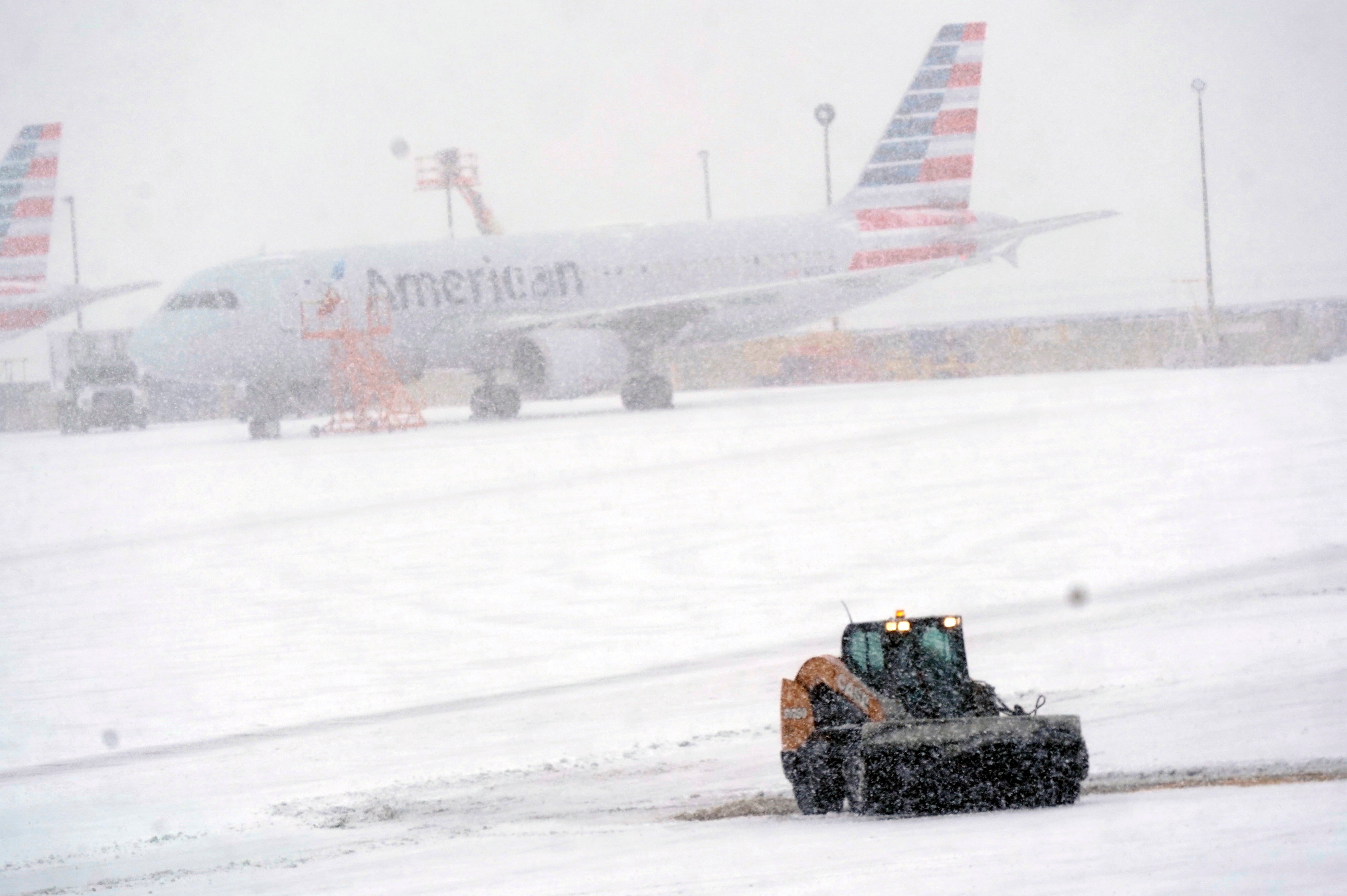
Weather hazard warning across US as major storm moves in
The storm is expected to last through Friday
A massive storm system is expected to move across the country throughout the rest of the week, bringing potential flooding, heavy snow, ice, and high winds.
NBC News reports that the storm is expected to dump heavy rain between Missouri and Michigan, and severe thunderstorms across the southern Plains.
Wednesday night is expected to be the worst for severe thunderstorms. In the early hours of Thursday, hail storms and potential isolated tornadoes may form in cities including Oklahoma City, Dallas and Wichita Falls.
The storm will hit the East Coast heading into the weekend, bringing heavy rain along the Northeast and mid-Atlantic coast. Snow is likely to fall in New England.
Snowfall from the central Plains to the Great Lakes is predicted between 4 and 8 inches, with up to 10 to 12 inches possible. The heaviest snowfall is expected between Kansas and Michigan, which includes Wichita, Kansas City, Chicago and Detroit.
Parts of the Midwest face the worst potential for flooding, specifically areas where heavy rain falls onto areas covered in snow. The storm could cause ice jam flooding and river spillovers, as well as road flooding.
Flood alerts have been issued for areas between Missouri and northern New England.

Prior to the storm's arrival on the East Coast, meteorologists are predicting that the region will see temperatures at 10 to 20 degrees above average. Temperatures will then drop heading into the weekend as the storm moves into the region.
Rain in New York is expected to begin late Thursday and will likely continue into Friday morning. The worst of the rain will likely come between 2am and 9am on Friday, with wind gusts up to 40mph.
Chicago's forecast is less certain, as it could experience heavy rain, snow, and sleet. The inclement weather is likely to begin on Wednesday afternoon and continue until early Thursday. Winds could reach 40mph and between 2 to 6 inches of snow are expected, but those predictions are subject to change.
Dallas will also see stormy weather beginning on Wednesday evening, and will likely continue to Thursday morning. The worst of the expected thunderstorms are expected between 11pm and 5am between Wednesday and Thursday.
The storm is currently moving through the west, where it dumped snow on Tuesday in Lake Arrowhead, California, and in broader Sierra Nevada region.
By Friday the storm should exit the Eastern seaboard, according to the National Weather Service. Parts of New England will be the most at risk for power outages due to high winds, which could reach 60mph in some areas.
Join our commenting forum
Join thought-provoking conversations, follow other Independent readers and see their replies
Comments

Bookmark popover
Removed from bookmarks