40 million brace for snow, winds and rain from North Dakota to New England over coming days
Forecasters predict the storm will clear by Monday evening
A storm bearing down on the Great Lakes and New England is expected to bring rain, snow, and high winds over the next few days. As many as 40 million people are now under winter weather advisories ahead of the storm’s arrival.
A narrow band from Fargo, North Dakota south to approximately Mason City, Iowa is under a blizzard warning ahead of the storm. That includes parts of of both states as well as parts of Minnesota. Winds in the affected areas are forecast to reach 45 miles per hour and, paired with an expected 3 to 8 inches of snow, are expected to create whiteout conditions through the start of the week.
Michigan's upper peninsula is under a blizzard warning as well. There, snowfall is expected to be between 9 inches and 2 feet, and winds are expected to reach as high as 60 miles per hour, ABC News reports.
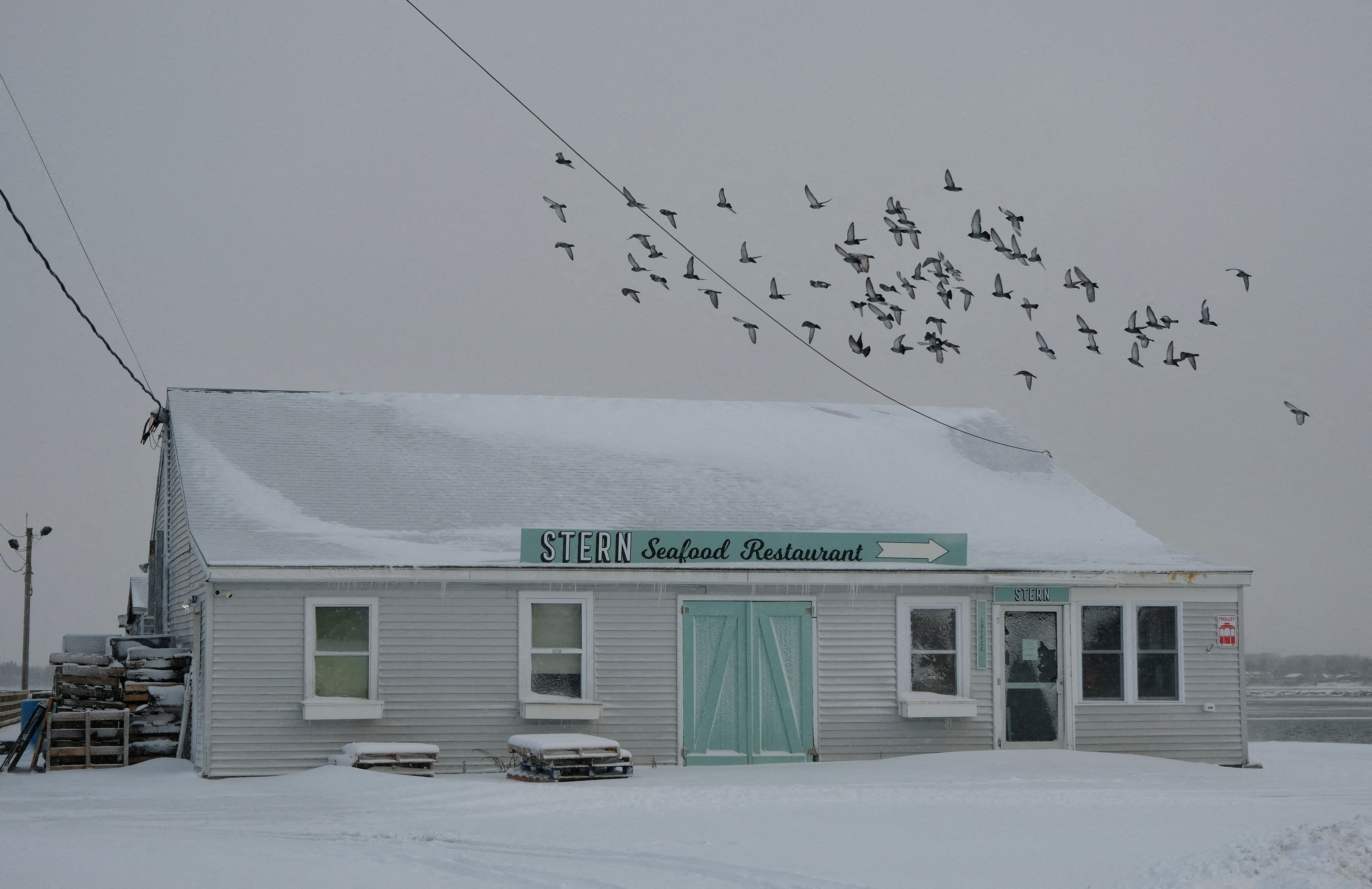
The National Weather Service has issued winter weather advisories for parts of the northeast, from the Scranton, Pennsylvania up through Burlington, Vermont and Portland, Maine. Freezing rain is expected in that area on Sunday and Monday.
Buffalo and Jamestown, New York, are also both under flood watches from Sunday afternoon until Monday afternoon.
Back in the Great Lakes region, both Cleveland and Detroit are bracing for high winds. Forecasters expect the cities will see gusts of up to 60 miles per hour on Sunday night through early Tuesday morning.
In the upper midwest, both Minneapolis and Green Bay are forecast to see between 5 to 9 inches of snow. A level 1 of 5 severe storm threat exists in a stretch from northern Indiana south into Missouri. That band includes Indianapolis, St Louis, Louisville, and Nashville. The affected region will be subject to high speed, damaging wind gusts, according to Fox Weather.
The storm began dropping snow on Sioux Falls and Fargo early on Sunday morning, and will continue to sweep east across the northern sections of the U.S. The midwest will begin to see storm conditions on Sunday afternoon, and the northeast will be affected shortly thereafter.


Road travelers in the affected regions should be wary. Parts of the I-95 corridor between Philadelphia and Boston may be made treacherous by freezing rain around 5 pm on Sunday night.
Forecasters believe that the storm system will clear by Monday night, though lake-effect snow is likely to follow in its wake for Great Lakes communities. That snow will likely continue into Tuesday and potentially Wednesday.
In northern New England, wintry precipitation may produce up to a quarter of an inch of ice in the area. While the interior northeast is expected to receive some lake-effect snow as well, forecasters believe snowfall in the region will be lighter.
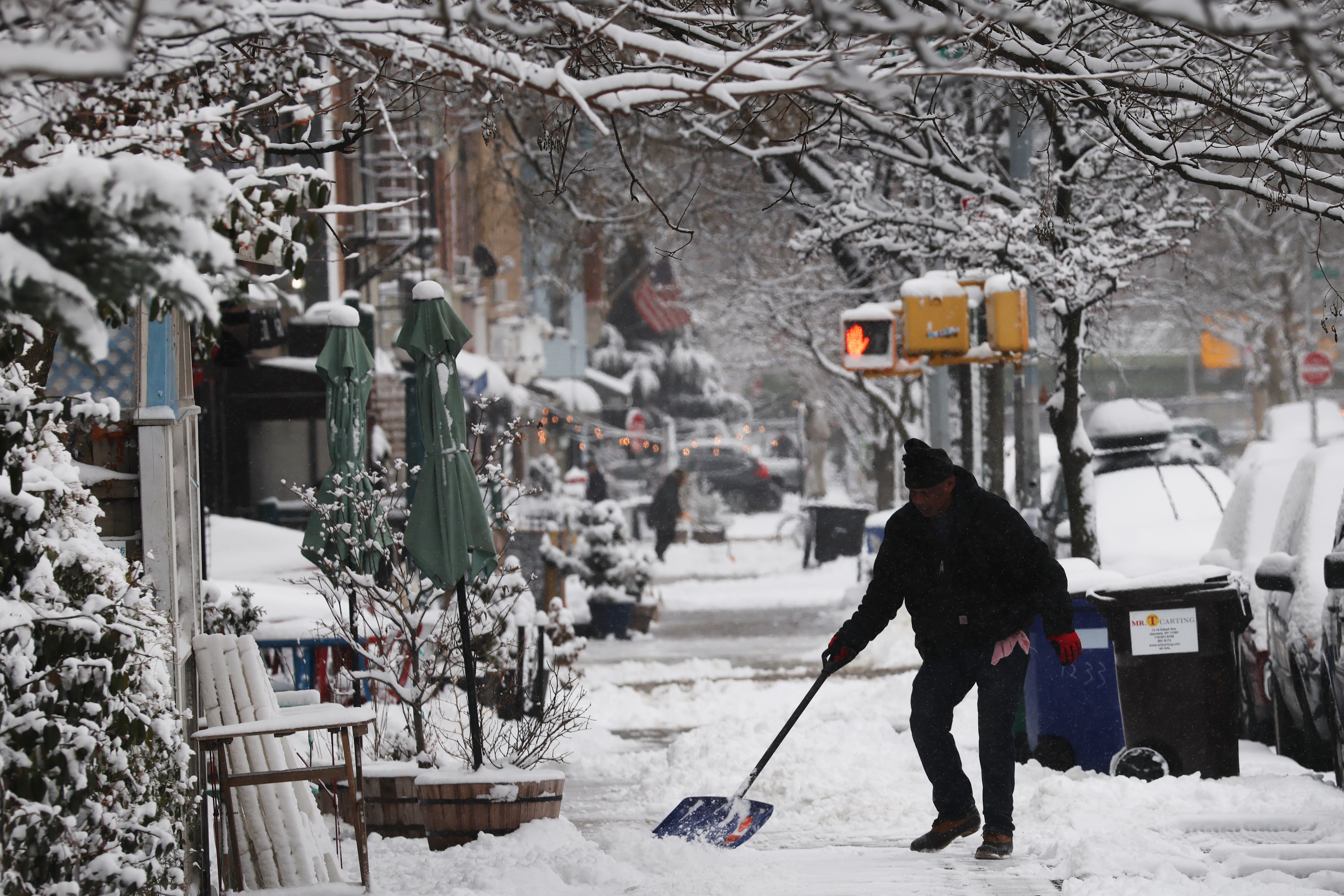
The storm comes on the heels of another winter weather system that swept across the northeast earlier this week, dropping snow on New York and New Jersey and forcing thousands of flights to be either cancelled or delayed.
Join our commenting forum
Join thought-provoking conversations, follow other Independent readers and see their replies
Comments
Bookmark popover
Removed from bookmarks