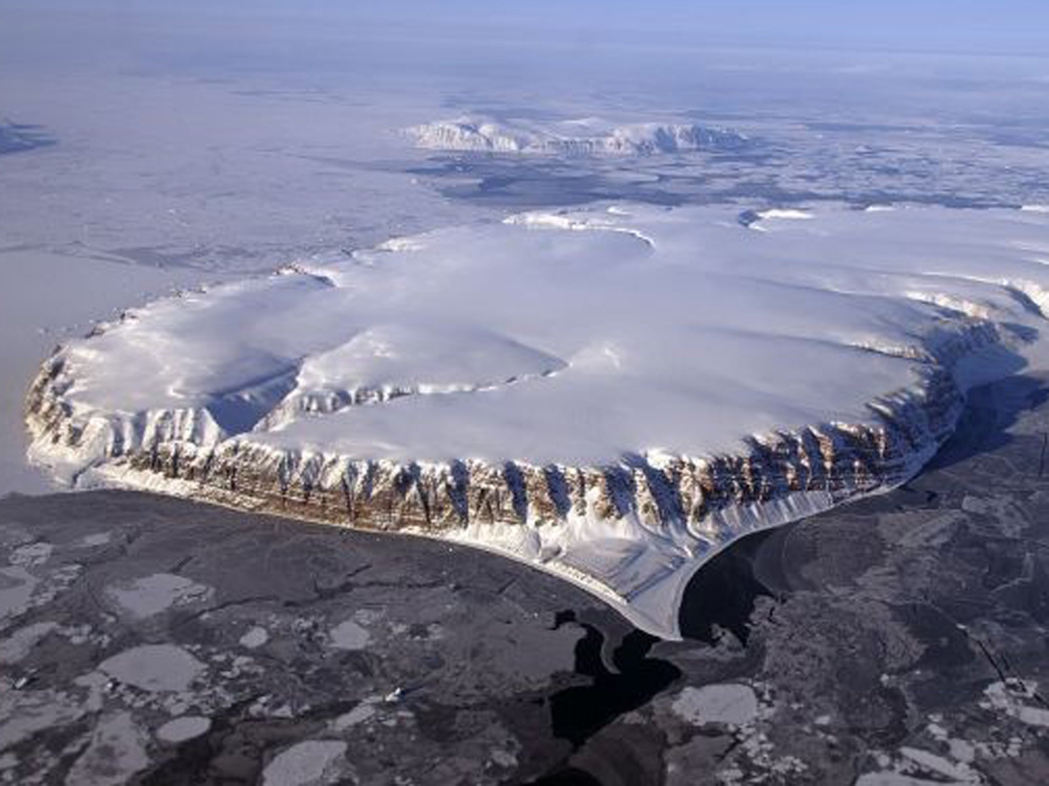
Greenland death: How 100mph ice storms can blow in without warning
The Greenland expedition in which a British man has died is likely to have been hit by a sudden and violent storm which blows from the top of the ice cap, a veteran explorer has said.
Alex Hibbert, a polar expedition leader, based in Battersea, south west London, has crossed the Greenland ice cap by ski four times between 2008 and 2011.
He said conditions on the ice cap were "extremely dangerous" and the death of Philip Goodeve-Docker was "incredibly sad."
Mr Hibbert said he believed the expedition was likely to have been hit by katabatic winds - known in Greenland as piteraqs - violent storms which can reach more than 100 miles an hour and which blow off the top of the ice cap, often without warning.
The powerful storm would probably have destroyed or blown away their tent, he said.
"The spring season is the tricky one, it tends to have the best skiing conditions and the best surface conditions and the crevasses tend to be in a better condition as well but it does mean that you are at the mercy of the bigger storms," he said.
"As you move into summer the storms become less and less common but the surface deteriorates.
"The winds are katabatic winds - that is the scientific term for them and differentiates them from normal winds that you can get from a weather system.
"In Greenland locally, they are known as Piteraqs.
"The cold air sits on the top of the ice cap and then sometimes without warning will just release and then flow down the ice cap towards the sea.
"They can go from very, very weak to very, very strong in just a matter of minutes."
Figures from MeteoGroup, the weather division of the Press Association, showed that gusts of 95 miles (152km) an hour were reported on the east coast of Greenland on Saturday evening which even after easing remained "very strong" at between 60 and 80 miles an hour (97 to 129km per hour)
The temperatures in this area fell to minus 5C (23F) which including the wind chill give a temperature of minus 14C.
Billy Payne, MeteoGroup forecaster, said: "It is likely that the interior (of Greenland) would be much colder. These sorts of winds obviously are dangerously high."
PA
Join our commenting forum
Join thought-provoking conversations, follow other Independent readers and see their replies
Comments
Bookmark popover
Removed from bookmarks