New GPS technology that identifies locations within centimetres could open way for advances in virtual reality, scientists say
The new system could also enable collision avoidance technologies on cars and allow virtual reality (VR) headsets to be used outdoors
New GPS technology that can identify locations accurate to within centimetres could open the way for huge advances in virtual reality and mobile mapping, scientists believe.
Researchers at the Cockrell School of Engineering at The University of Texas said the centimetre-accurate GPS-based positioning system could allow unmanned aerial vehicles to deliver packages to a specific spot on a consumer’s back porch.
The new system, which is far more precise than the orientation capability currently available on smartphones, could also enable collision avoidance technologies on cars and allow virtual reality (VR) headsets to be used outdoors.
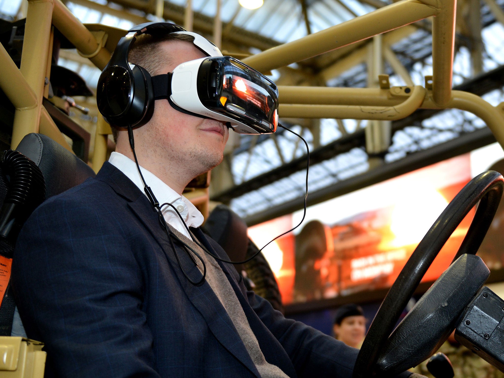
Researchers said the advanced GPS coupled with a smartphone camera could be used to quickly build a globally referenced 3-D map of one's surroundings that would greatly expand the radius of a VR game. Currently, VR does not use GPS, which limits its use to indoors and usually a two-to three-foot radius.
Todd Humphreys, assistant professor in the Department of Aerospace Engineering and Engineering Mechanics and lead researcher, said: “Imagine games where, rather than sit in front of a monitor and play, you are in your backyard actually running around with other players. To be able to do this type of outdoor, multiplayer virtual reality game, you need highly accurate position and orientation that is tied to a global reference frame.”
Humphreys and his team in the Radionavigation Lab have built a low-cost system that reduces location errors from the size of a large car to the size of a penny coin - a more than 100 times increase in accuracy.
Centimetre-accurate positioning systems are already used in geology, surveying and mapping, but the survey-grade antennas these systems employ are too large and costly for use in mobile devices. The breakthrough by Humphreys and his team is a powerful and sensitive software-defined GPS receiver that can extract centimetre accuracies from the inexpensive antennas found in mobile devices. Such precise measurements were not previously possible.
The researchers anticipate that their software's ability to leverage low-cost antennas will reduce the overall cost of centimetre accuracy, making it economically feasible for mobile devices.
Join our commenting forum
Join thought-provoking conversations, follow other Independent readers and see their replies
Comments
Bookmark popover
Removed from bookmarks