Uber starts sharing data with city planners to help with road design
Data can be used to know where to add public transport and fix problems in roads, with project beginning in Boston
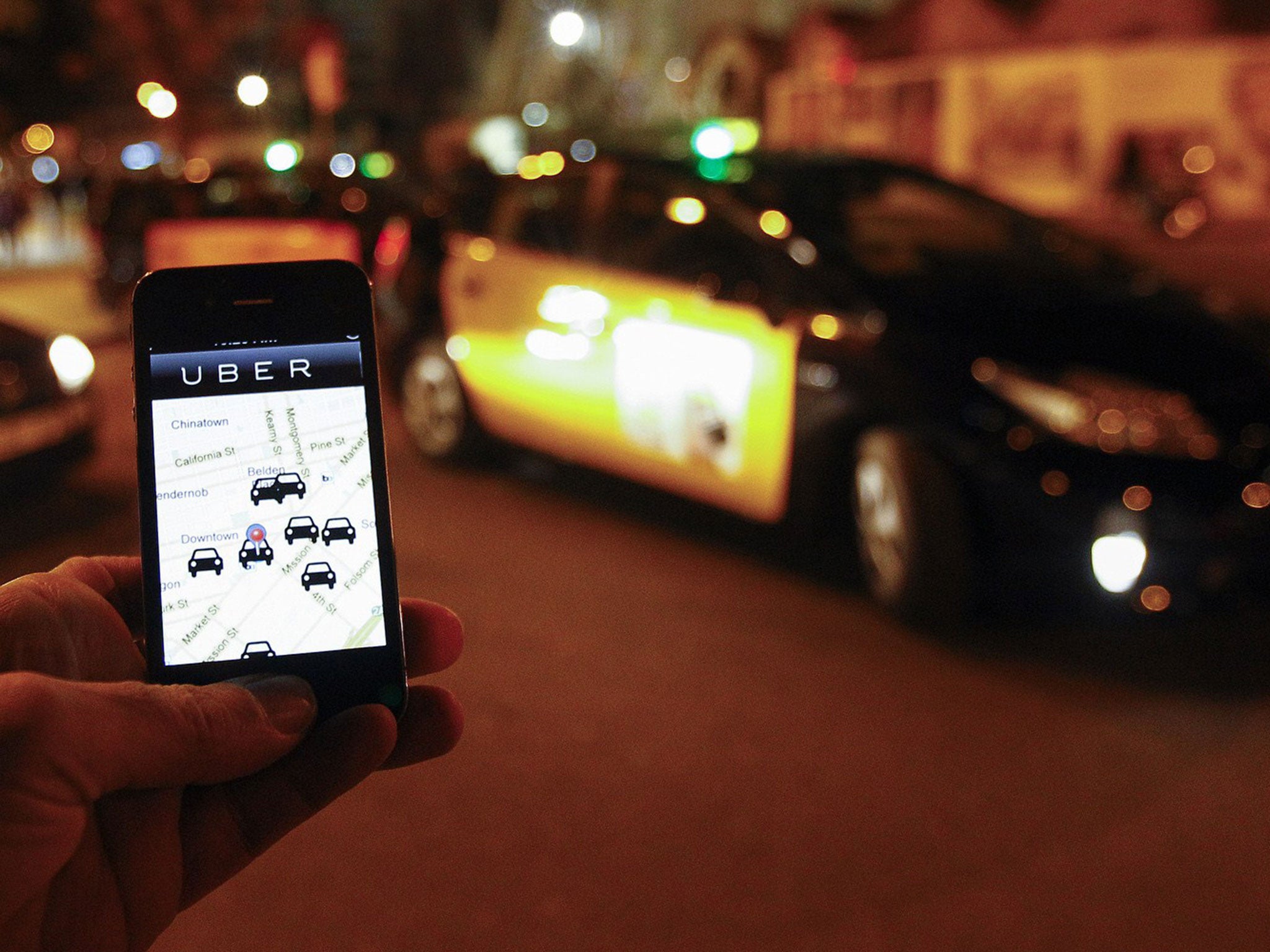
Uber is to give planners its data to improve city life.
Its new partnership with Boston will see it share its data on riders to “help manage urban growth, relieve traffic congestion, expand public transportation, and reduce greenhouse gas emissions”, according an Uber statement.
The tie-up is the first of its kind, but Uber seems set on rolling out the plan to other cities.
The data that is shared will be anonymised by Zip code. It will include information on where and when each trip began and ended, and how long it lasted.
Uber will also provide “technical support to interpret and utilize the data”.
Most cities don’t have detailed data on how private traffic move about on their streets, Uber said. As such the new data will help planners make decision on how to best help people move across cities, help judge the impact of events and disasters on transport, and see where to create or reduce parking.
If Uber’s data shows that one area is underserved by public transport, for instance, cities will be able to add new options. And knowing which roads are most used will allow planners to identify which potholes and other road problems should be fixed first.
Join our commenting forum
Join thought-provoking conversations, follow other Independent readers and see their replies
Comments
Bookmark popover
Removed from bookmarks