Met Office reveals date first snow of 2023 could hit UK
Unsettled and wet weather dominates January forecast
Forecasters have revealed the exact date they believe Britons will see the first snow of 2023.
The Met Office on Wednesday issued its nationwide predictions from the first week of January through to the end of the month.
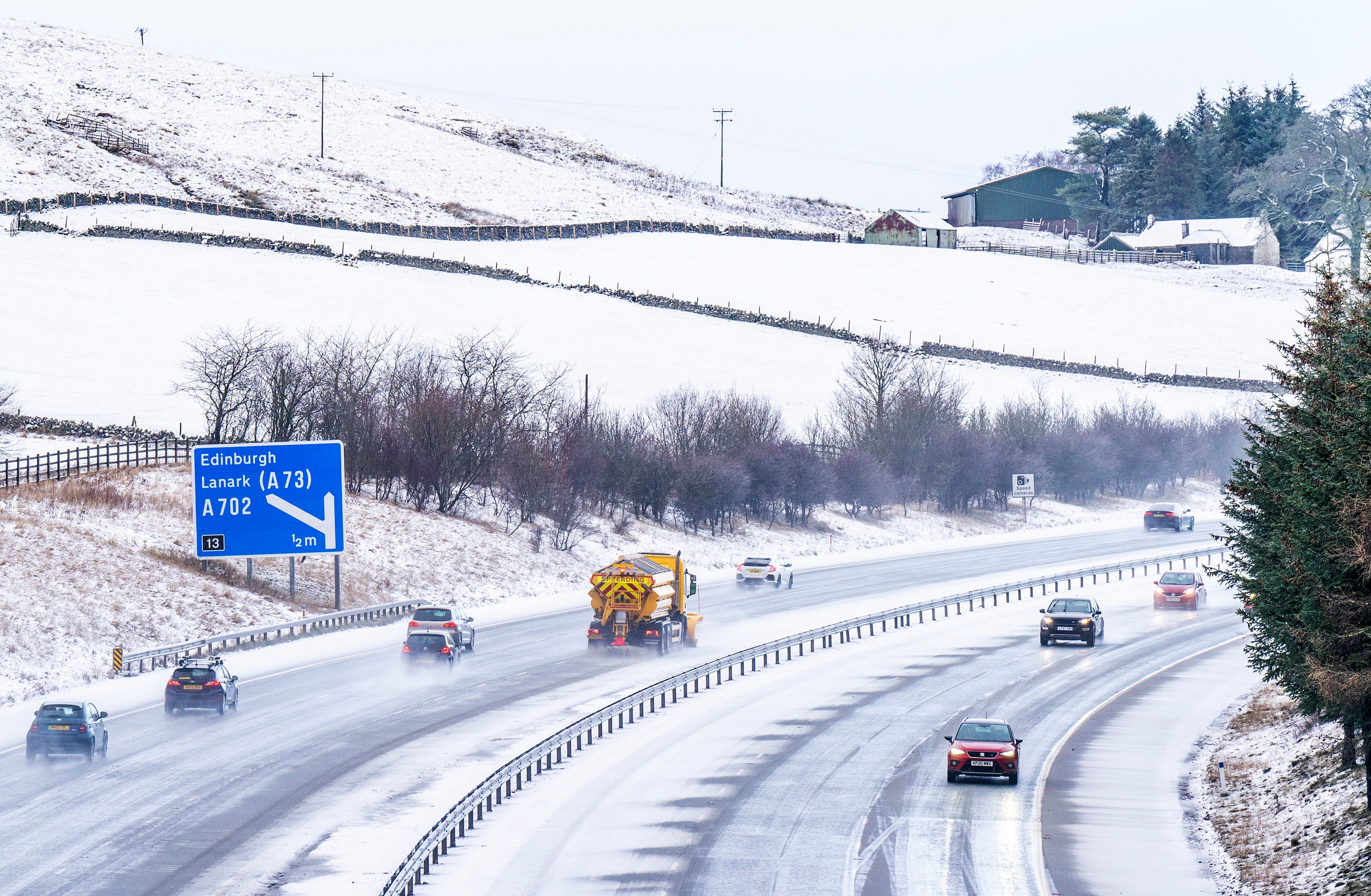
A steady stream of wet weather will dominate much of this week. Wednesday morning will see a band of rain will clear from most parts, though showers are set to strike up across southern Scotland, Northern Ireland, and northern England, turning to drizzle later over the southwest.
Downpours and drizzle will continue to reign in the southwest on Thursday, with windy, coastal gales expected to sweep through the west.
There is the chance for some respite on Friday, however, which will be briefly drier for many, before more wet weather sweeps east overnight, turning to heavy, blustery showers with strong winds and temperatures close to average over the weekend.
After an unsettled but mild start to 2023, blustery showers and longer spells of rain in all areas are likely to characterise the second week of the month.
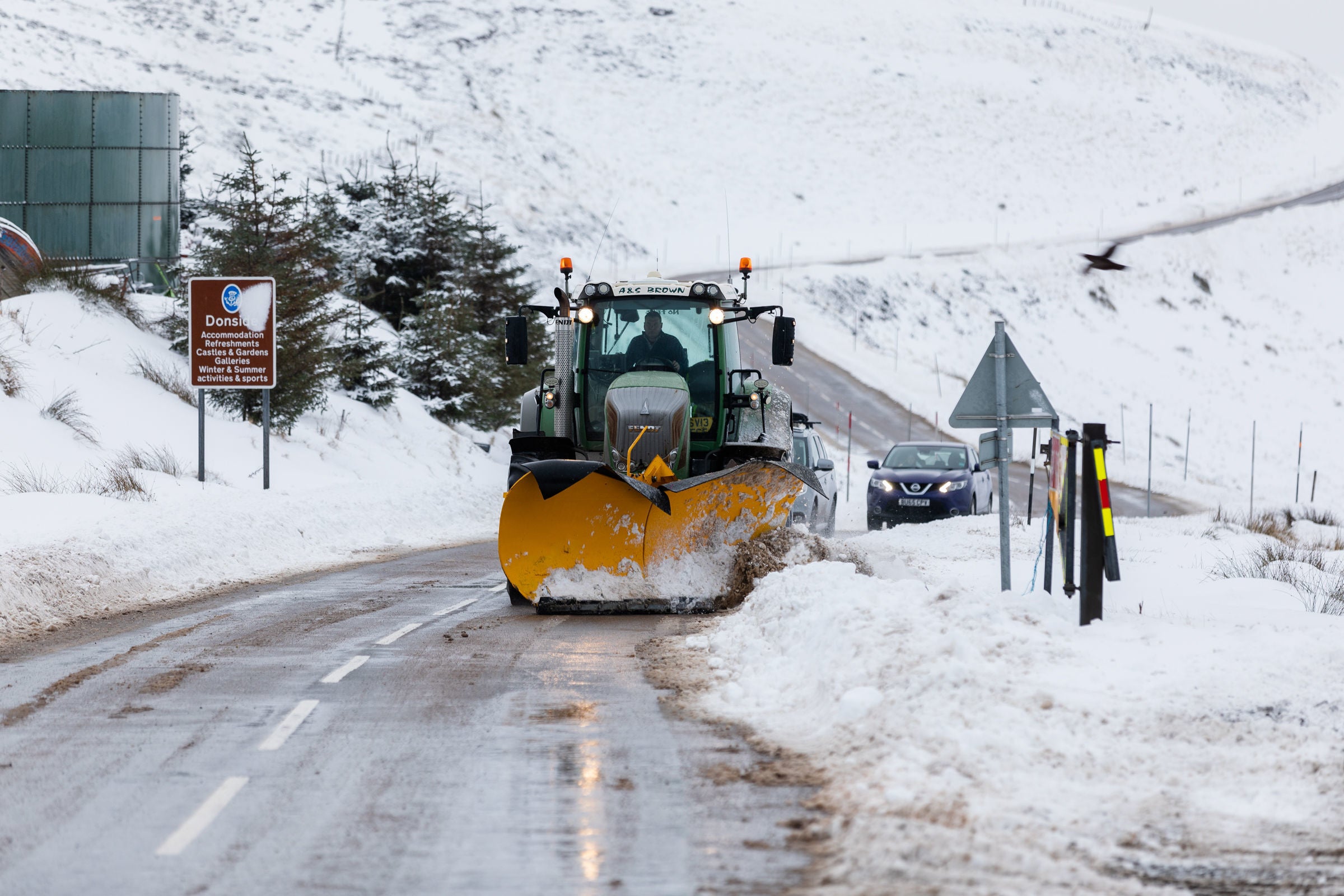
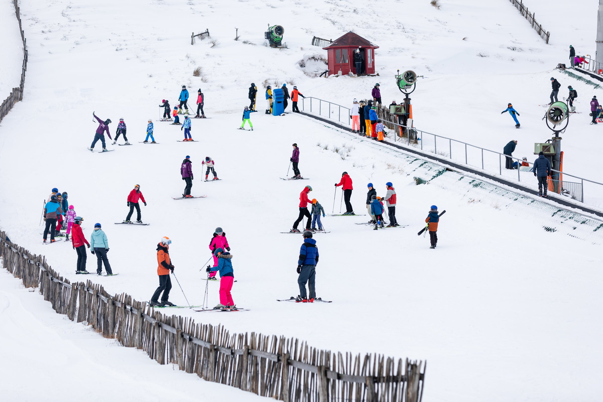
Wintry conditions will sweep through the country from 8 January onwards, bringing with it the possibility of snow.


Though details as to where and when the snowfall will occur are scant at present, the Met Office says it will “most likely be confined to northern higher ground.”
Much like the start of the month, though, any drier interludes through early to mid-January are expected to “remain brief”.
“Unsettled weather is most likely to characterise the beginning of this period, with blustery showers or longer spells of rain in all areas,” the outlook from Sunday 8 January to Tuesday 17 January reads.
“Showers will be heaviest and most frequent along windward coasts but are likely to spread well inland at times.”
Forecasters also note that temperatures are likely to be average for the time of year, perhaps becoming milder at times in the south.
It continues: “Towards mid-January, a trend towards less unsettled weather is most likely. Occasional showers and longer spells of rain are still possible although mainly restricted to the north and northwest, but more prolonged drier interludes will become more likely for most, with a risk of overnight frost and morning fog and an increased chance of colder conditions for a time.”
The unsettled weather will finally be tempered from 18 January onwards, forecasters say, with “more prookaa longed drier interludes” for most areas – increasing the incidence of overnight frost and morning fog.
Showers and longer spells of rain will still be possible, however mainly confined to the north and northwest.
Towards the end of the month, a return to unsettled conditions is the most likely outcome, the Met Office warns, with spells of wet and windy weather probable across all areas.
“Temperatures generally around or slightly above average, but with an increased chance of temporary colder conditions at first,” the outlook for the 18 January to 1 February states.
Join our commenting forum
Join thought-provoking conversations, follow other Independent readers and see their replies
Comments
Bookmark popover
Removed from bookmarks