Revealed: When and where it will snow in the UK this week
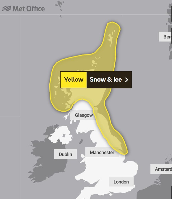
Met Office issues three yellow weather warnings as snow is forecast for Scotland
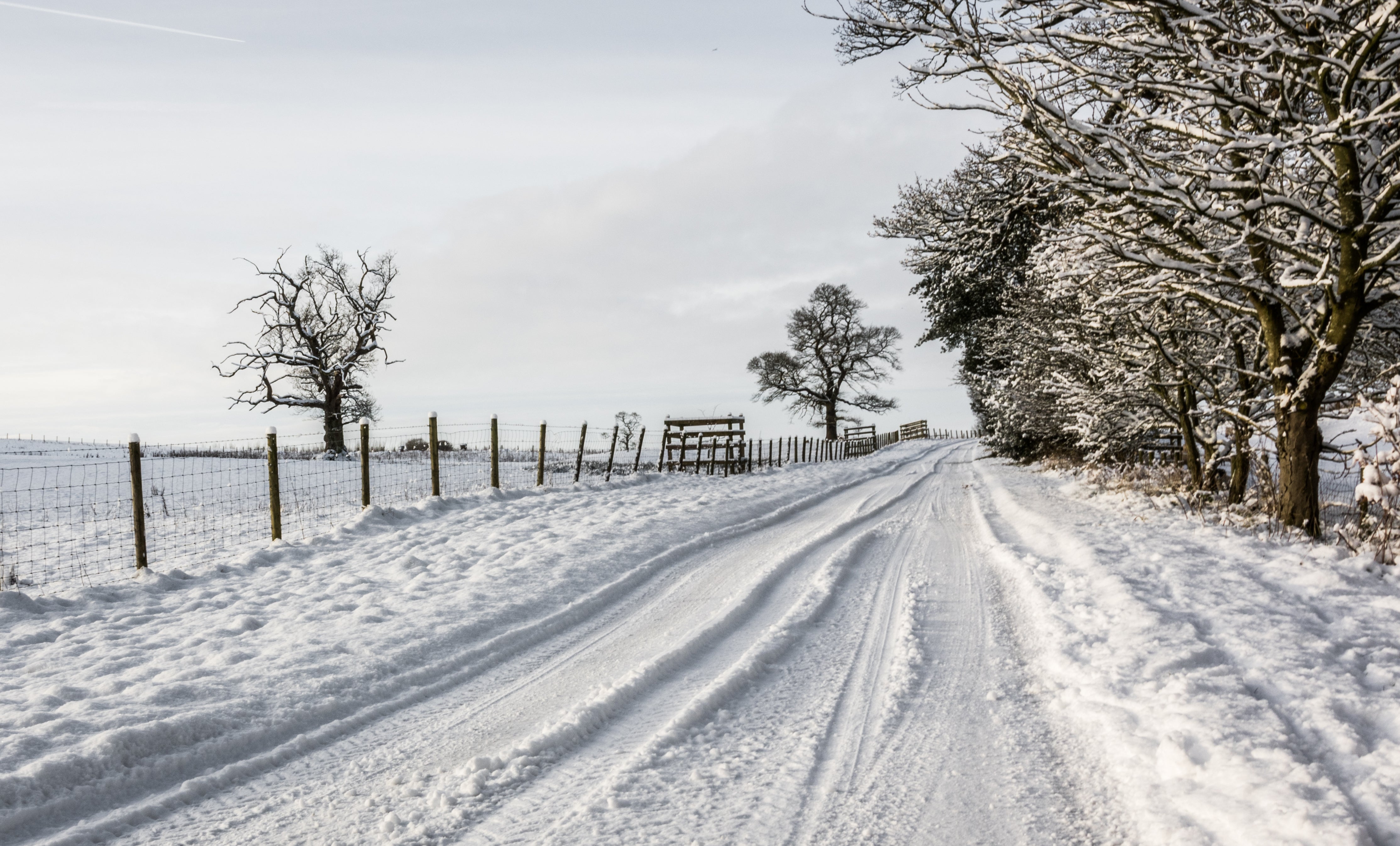
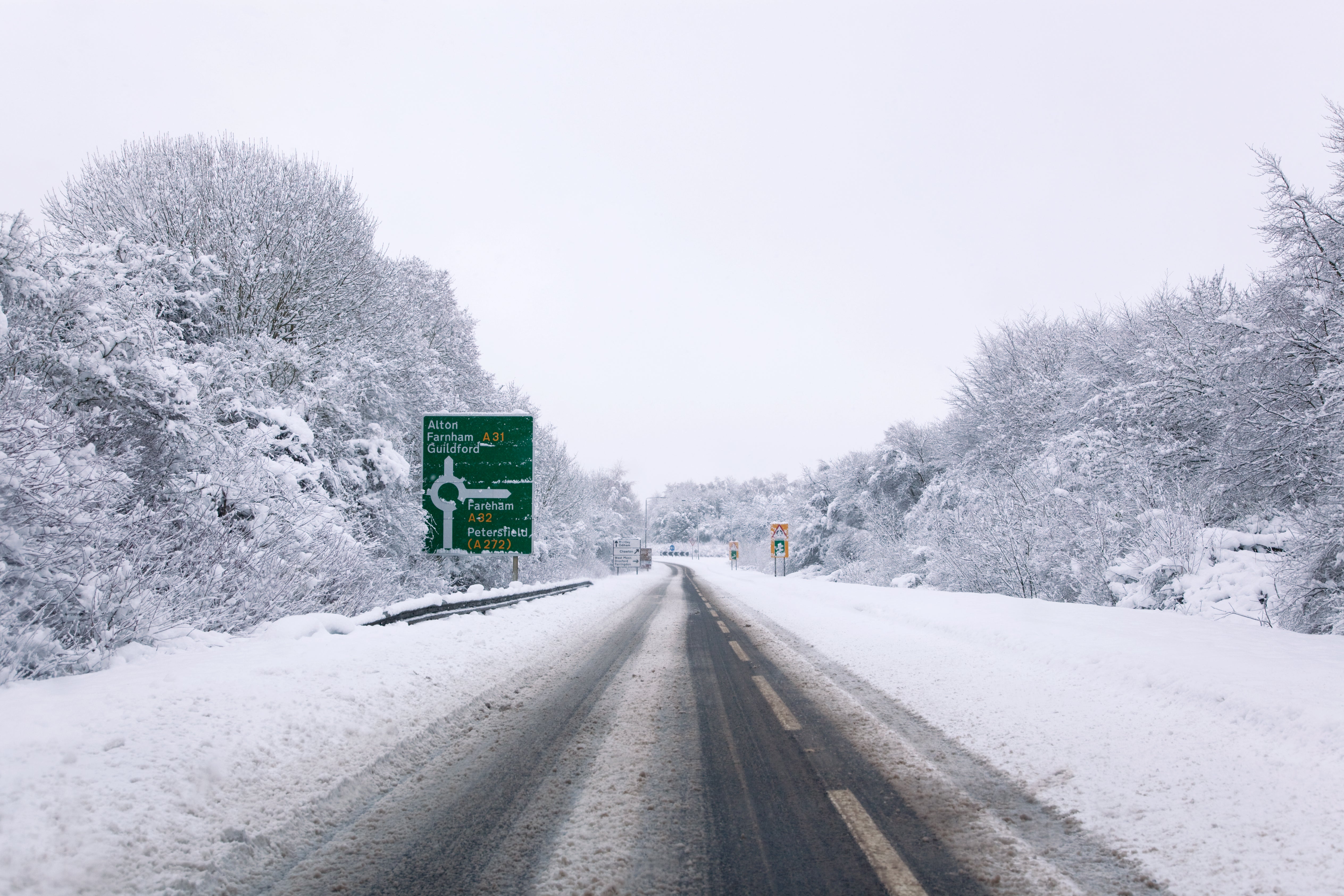
Snow and ice warnings have been issued across parts of the UK this week with up to 10cm of snow expected to settle in Scotland.
Yellow weather warnings have been put in place with power outages and travel disruption likely as the band of freezing weather kicks in.
The UK Health Security Agency has issued Level 2 and Level 3 Cold Weather Alerts for the whole of England.
“Very cold air will spread across the UK from late on Sunday through early next week. This brings with it snow even to low levels in the north and east through Monday and Tuesday, and in excess of 10cm could accumulate, most likely on high ground in the north, but also settling for a time at lower levels,” deputy chief meteorologist, Chris Almond, said.
“With freezing overnight temperatures and the risk of ice, there’s a risk of some travel disruption and wintry hazards are likely to persist through much of next week, even further south for a time, so keep an eye on the Met Office forecast for the latest information.”


When and where will it snow?
Sunday
The first of the snowfall is set to hit- mainland Scotland on Sunday between 6pm and 11pm in areas above 200m, according to the Met Office.
Further north, spells of snow will develop to low levels this evening. By late evening 2-5 cm snow may have fallen in some places.
- Angus
- Aberdeen
- Aberdeenshire
- Moray
- Highland
- Shetland Islands
Monday
As overnight temperatures continue to drop, a band of snow, rain and sleet will move down the UK on Monday.
The Met Office said there could be snow accumulation of up to two to five cm even at lower levels.
Showers are expected to continue into Monday night and ice is likely to form on untreated surfaces where snow has melted by day.
Areas under the Met Office’s yellow weather warning are:
- Angus
- Dundee
- Fife
- Perth and Kinross
- Aberdeen
- Aberdeenshire
- Moray
- Na h-Eileanan Siar
- Highland
- Darlington
- Durham
- Gateshead
- Hartlepool
- Middlesbrough
- Newcastle upon Tyne
- North Tyneside
- Northumberland
- Redcar and Cleveland
- South Tyneside
- Stockton-on-Tees
- Sunderland
- Orkney Islands
- Shetland Islands
- East Lothian
- Midlothian Council
- Scottish Borders
- North Yorkshire
Tuesday:
Another 24-hour yellow weather warning has been issued on Tuesday, as cold, blustery northerly winds will continue to drive frequent showers of snow and hail into the following areas:
- Angus
- Dundee
- Fife
- Perth and Kinross
- Lincolnshire
- Aberdeen
- Aberdeenshire
- Moray
- Na h-Eileanan Siar
- Highland
- Darlington
- Durham
- Gateshead
- Hartlepool
- Middlesbrough
- Newcastle upon Tyne
- North Tyneside
- Northumberland
- Redcar and Cleveland
- South Tyneside
- Stockton-on-Tees
- Sunderland
- Orkney Islands
- Shetland Islands
- East Lothian
- Edinburgh
- Midlothian Council
- Scottish Borders
- Argyll and Bute
- East Riding of Yorkshire
- Kingston upon Hull
- North East Lincolnshire
- North Lincolnshire
- North Yorkshire
- York
Join our commenting forum
Join thought-provoking conversations, follow other Independent readers and see their replies
Comments
Bookmark popover
Removed from bookmarks