Britain is set for scorching 29C as our summer sun returns – but not for long
Britain faces 24-hour scorcher before unsettled weather makes a comeback

Britain faces a 24-hour blast of scorching temperatures this week before the unsettled weather that has dominated most of the summer returns.
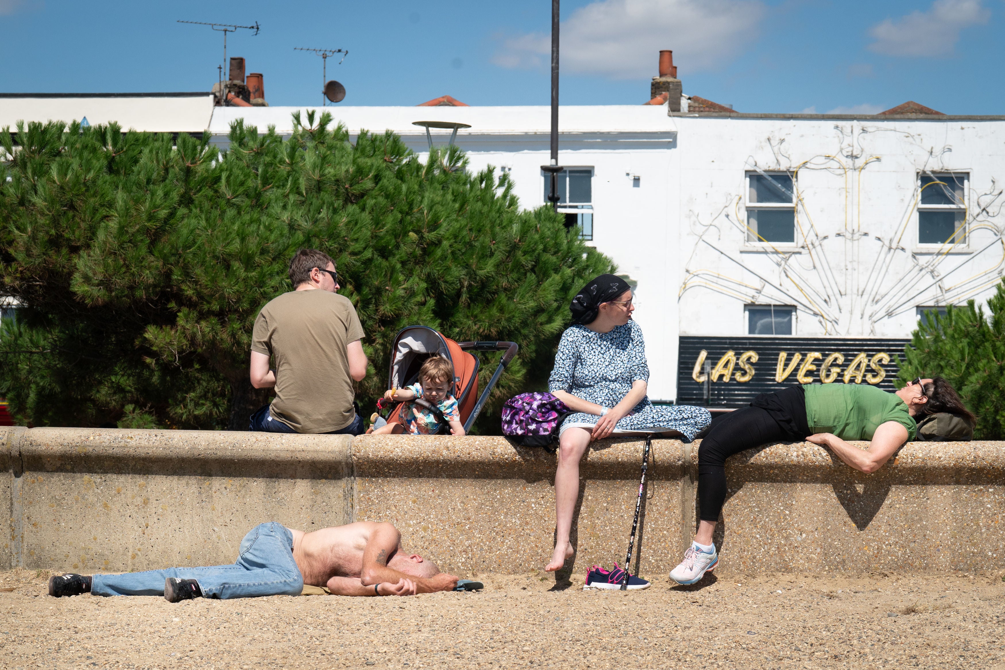
Sunbathers descended on beaches on a mostly warm and sunny Wednesday, and forecasters predict temperatures could reach 29C on Thursday.
But the Met Office warned the warmer weather will be “a short-lived interlude”.
Met Office meteorologist Simon Partridge said: “Thursday is a mostly dry day. There could be a little bit of mist and fog around first thing, particularly across southwestern parts of England, but generally sunny spells through the day and mostly dry.
“We could get a few showers developing in the afternoon across northern parts of Wales, drifting up across north-west England. The odd rumble of thunder is possible but they are very few and far between.
“The big thing is obviously the temperatures. Temperature wise for (Thursday) we are looking at many parts of England, Wales and southern Scotland reaching the mid 20s. We could see highs of 27C to 28C, possibly 29C somewhere in eastern England.
“Midlands or East Midlands. Somewhere around the central parts of the UK is where you could see the highest temperature of a possible 29C.”
The brighter weather follows a battering by Storm Antoni over the weekend. It saw flooding and 78mph winds hit the UK and trees blown down, blocking 100 miles of railway between Exeter and Penzance.
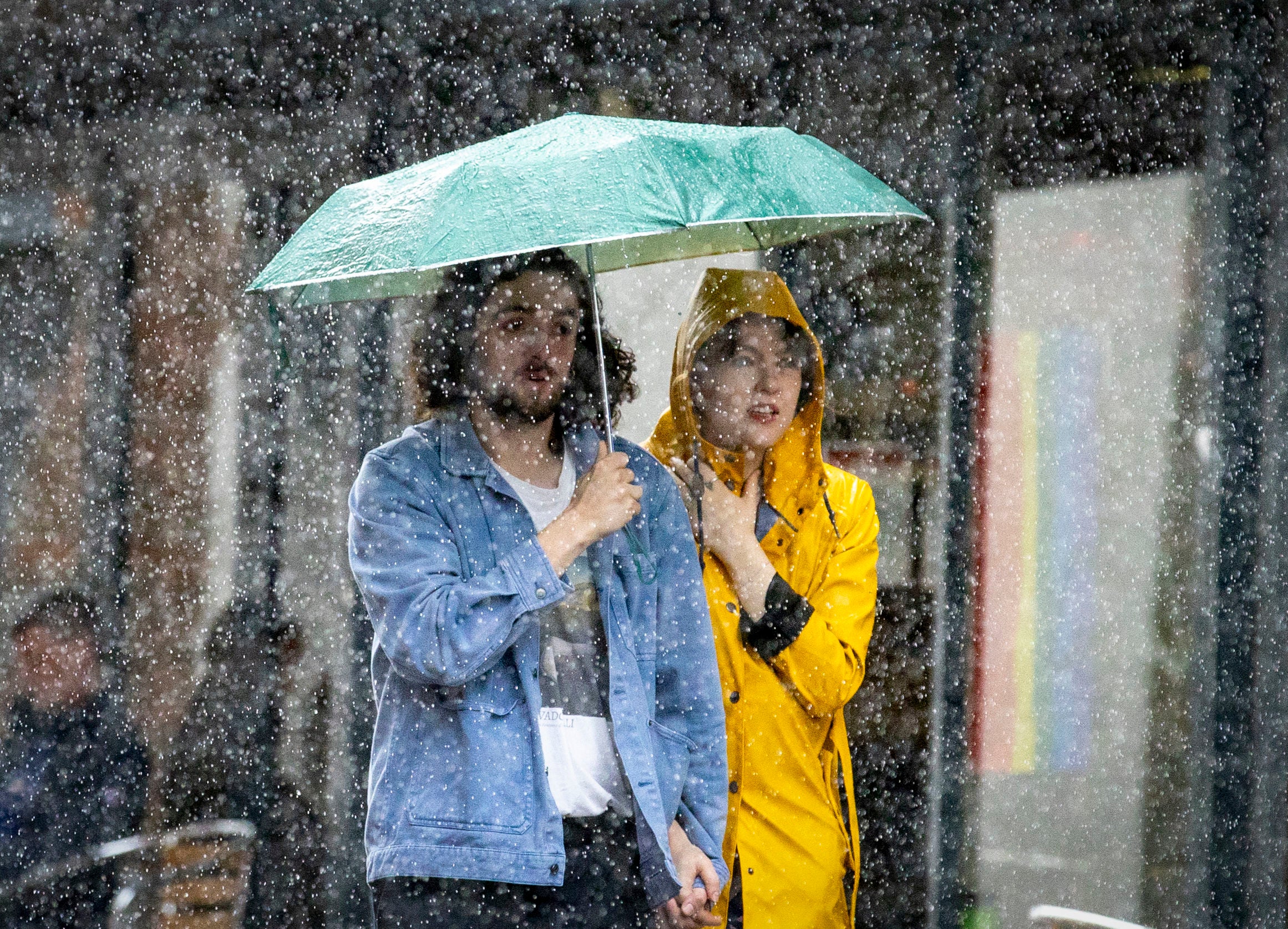
But rain is expected to return on Friday as low pressure brings a mixture of sunshine and showers across the UK, especially in western areas.
Heavier rain in northern Scotland could bring “thundery downpours” and the Met Office will be “keeping an eye” on whether that might require a weather warning.
The weekend will present a “familiar pattern” with a “mixture of showery conditions and an unsettled period of weather for the UK”.
“And unfortunately for some, if you’re not a fan of this kind of weather, the outlook for next week really is for this unsettled picture to continue, with a continuation of this showery regime with a mixture of sunny spells and showers looking likely through much of next week,” Dixon said.
Asked about expectations for the rest of the month, he said: “There is still that signal for that mixture of rain and showers through to the end of August, but you could see some more settled interludes in between.”
The Met Office will provide a “summer stats round-up” in September but the season has so far been “warmer than average” as a whole.
“In terms of people’s memories, July may have felt like a bit of a washout with all that rain but temperatures were fairly close to average, albeit with a fair amount of rainfall,” Mr Dixon told PA.
“We’re approximately half a degree warmer than average for summer so far and that’s largely spurred on by June temperatures,” he continued.
According to the Met Office, this year’s June was the hottest on record for the UK and July was the sixth wettest on record.
Bookmark popover
Removed from bookmarks