UK could see fourth heatwave of summer before torrential downpours and thunderstorms
Met Office warns temperatures set to climb once again, just as Britons cool off from last heatwave, before weather warnings could be issued over weekend
Parts of the UK could see yet another heatwave by the end of this week, according to forecasters.
Britons are also being warned of thunderstorms in places throughout the week, with the potential for “torrential downfalls” over the weekend and possible weather warnings to be issued.
Rain might be welcome for some, coming amid warnings from the Environment Agency that up to five more regions could be in a drought by September, with more hosepipe bans on the way.
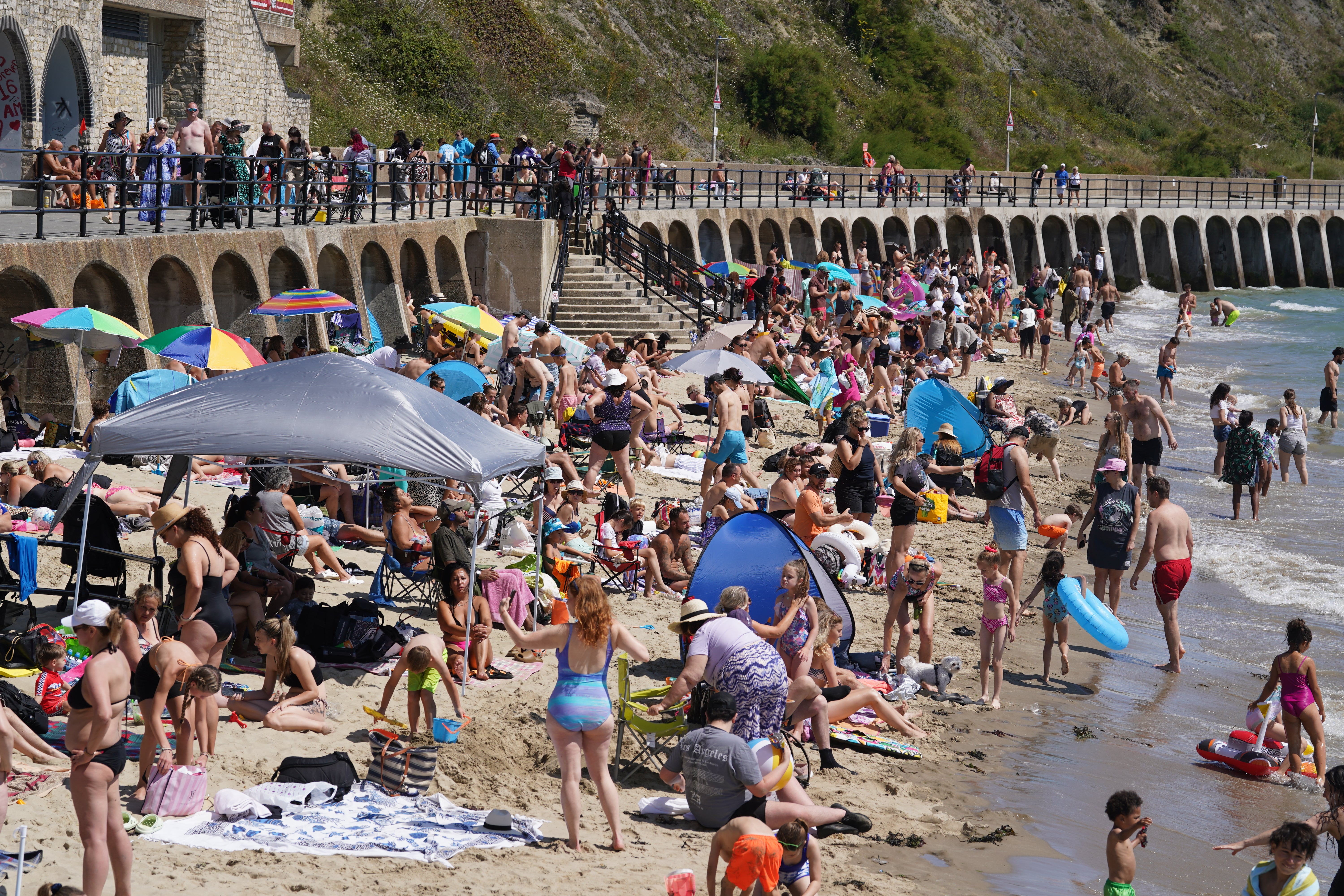
Much of the UK experienced a brief reprieve from the hot weather on Tuesday as the third heatwave of the summer started to come to an end. Temperatures exceeded 30C in several parts of the country and broke multiple records over the weekend.
But just as Britons are recovering from the weekend’s intense heat, the Met Office has revealed they should start bracing themselves for yet another potential heatwave.
Meteorologist Tom Morgan told The Independent that Tuesday has been a “much cooler and showery day”, with much of the country seeing showers and rainy spells.
He predicted a “changeable” week ahead as well, but said that temperatures will “rebound” from Tuesday to above average once again.
On the question of a fourth heatwave, he said: “From a technical point of view, there is the potential for some places to reach heatwave status.
“But it’s not going to be anything like the most recent heatwave, which saw temperatures reach the high 20s or low 30s.
“Currently, we’re expecting temperatures of 29C in south east England on Thursday and Friday, then it might well be 28C or similar on Saturday.
“Most likely, it’s a few individual weather stations that reach the criteria for a heatwave... but that won’t be for everyone, it will be a small minority of places where there is a technical heatwave.”
The Met Office defines a heatwave as “an extended period of hot weather relative to the expected conditions of the area at that time of year, which may be accompanied by high humidity”. In the UK, hot weather can only be classified as a heatwave if it meets a daily maximum temperature consistently for three days in a row, with the threshold varying across different parts of the UK between 25C and 28C.
The peak of the last heatwave hit on Saturday, when Scotland, Northern Ireland and Wales all recorded their warmest day of the year so far – with Scotland and Northern Ireland reaching temperatures they have not hit in years. Ross-on-Wye in Herefordshire hit 30.8C while Achnagart in the Scottish Highlands reached 30.4C, Cardiff’s Bute Park 30.2C and Castlederg in Co Tyrone 27.1C.
A host of warnings were issued over dangers arising out of the hot temperatures. These included amber and yellow heat health alerts in place across England – warning of the potential for a rise in deaths – while fire chiefs urged people to stay safe over the increased risk of wildfires, with blazes breaking out in London, Surrey, and Perth in Scotland.
But Mr Morgan offered reassurance that there is “nothing like that on the way”. He said that “there will be essentially fairly typical warm summer weather this week, as opposed to the recent weather where we’ve seen it hot and impactful”, citing the uncomfortable sleeping conditions many have been complaining of.
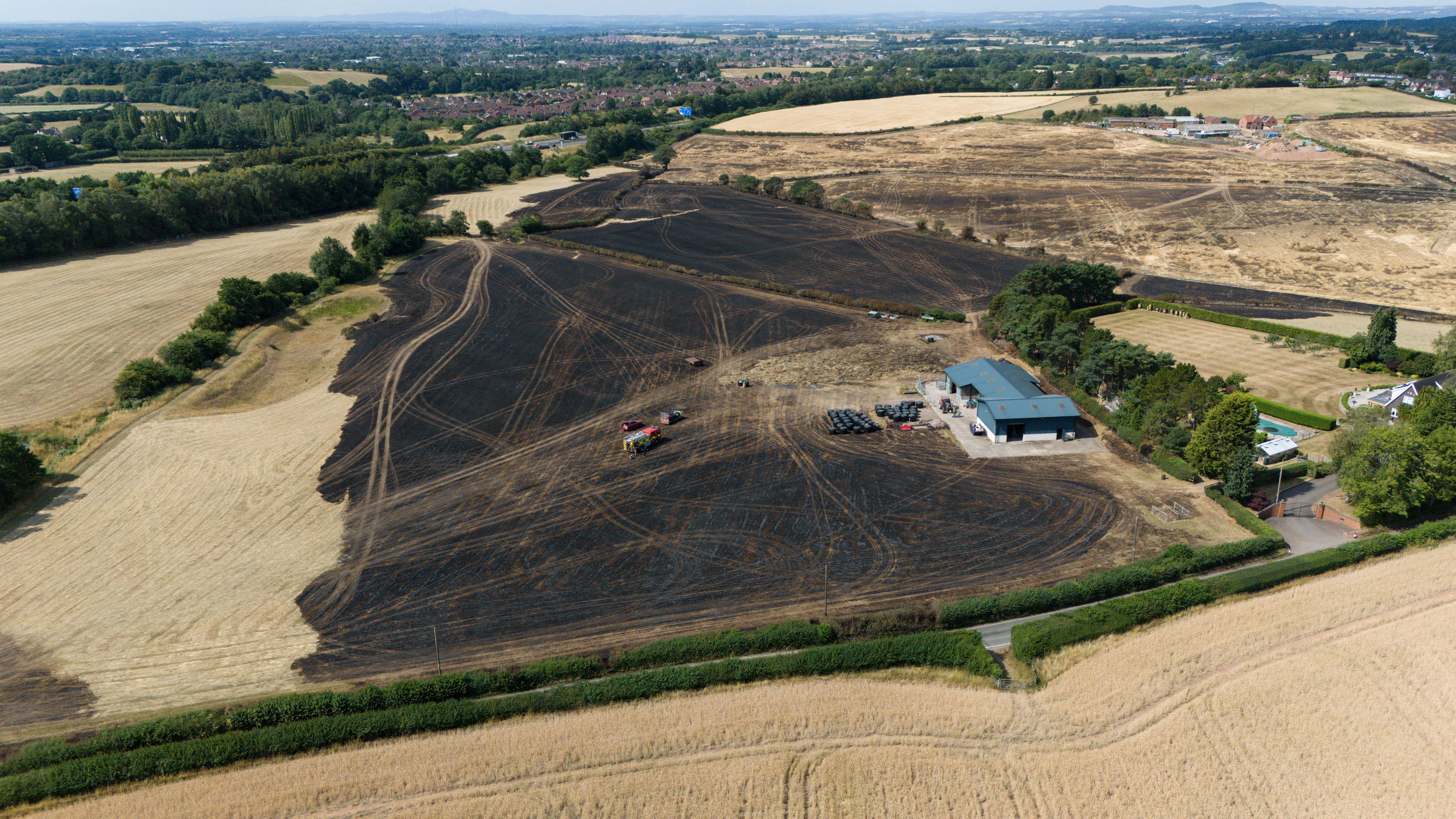
The summer’s third heatwave saw a hosepipe ban come into force in Yorkshire, with similar restrictions issued for Kent and Sussex from 18 July following one of the UK’s driest springs on record. Currently, three areas of the UK – Cumbria and Lancashire, Yorkshire and Greater Manchester, Merseyside and Cheshire – are in drought. And millions more people could face these conditions across the Midlands and central southern regions this year, under the Environment Agency’s reasonable worst cast scenario.
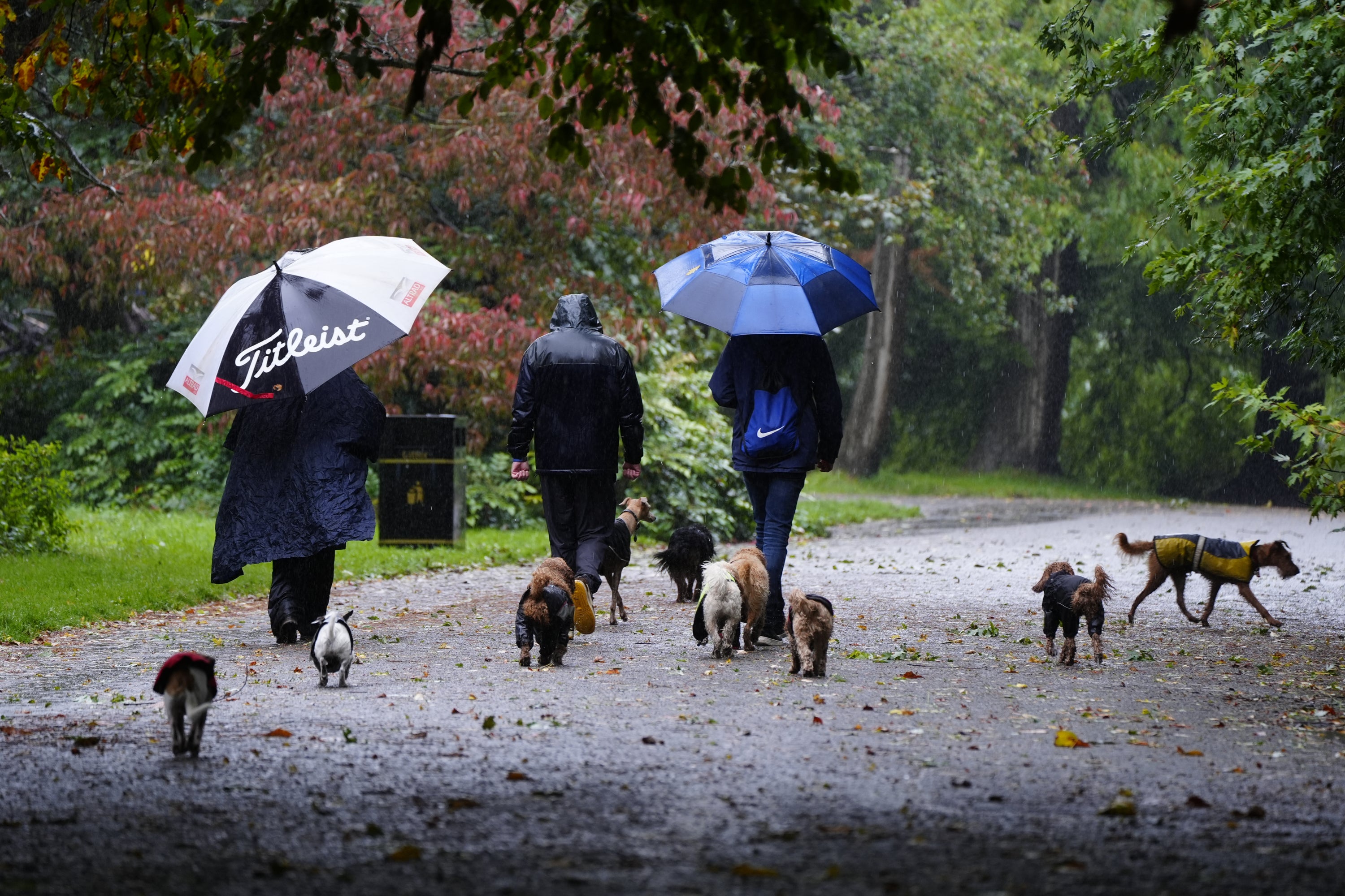
However, Mr Morgan said the UK is set for a wetter week this week. Many Britons should brace for thunderstorms, he warned, with weather warnings potentially being issued in the coming days.
The meteorologist explained that much of the UK should see “dry, warmer weather” on Wednesday, before the end of the week becomes more showery.
There is currently a fairly “isolated” thunderstorm warning in place for Northern Ireland, a region that will again see a risk of thunderstorms on Thursday, he said.
Then, central and southern England as well as Wales are all set for thunderstorms and “really torrential downfalls” into the weekend.

He said: “There will be further thunderstorms in the week ahead and indeed the weekend. It is a warm, humid picture into the weekend...
“Anyone with outdoor plans should keep an eye on the forecast for the week ahead.
“There is the potential for weather warnings in the lead up to the weekend.
“It’s looking much wetter, and potentially very wet in places, compared to the weekend just gone.”
Join our commenting forum
Join thought-provoking conversations, follow other Independent readers and see their replies
Comments
Bookmark popover
Removed from bookmarks