UK weather: Severe thunderstorm warning amid record-breaking September heatwave
The Met Office has issued yellow warnings for large parts of UK across the weekend

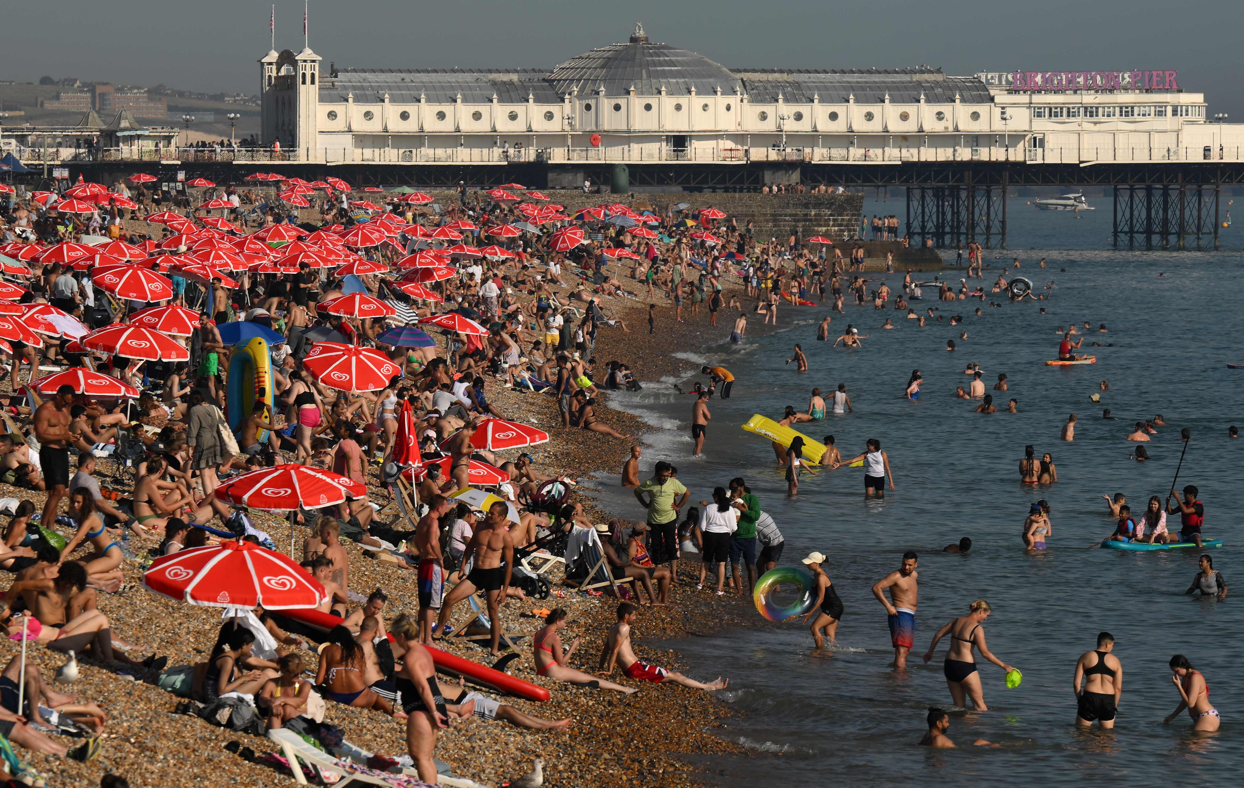
After the longest run of 30C September days on record, heavy showers and storms are expected in some parts of the UK on Saturday and Sunday afternoon (9-10 September).
The Met Office issued a yellow warning of heavy showers and storms from 2pm until 9pm tonight, expected to hit the areas of Manchester and Hull, all the way down to Oxford and Gloucester.
On Sunday, thunderstorms are due in Glasgow, Newcastle and Belfast from 2pm until midnight, with the risk of flooding causing possible danger to life.
The Met Office has warned storms may also lead to disruption, such as road closures and public transport delays.
Chris Wilding, Flood Duty Manager at the Environment Agency, said: “Significant surface water flooding is possible but not expected across parts of England on Saturday afternoon and evening due to isolated intense downpours.


“We urge people not to drive through flood water – it is often deeper than it looks and just 30cm of flowing water is enough to float your car.”
The yellow warning was updated this morning and brought northwards to include all of Lincolnshire and parts of Yorkshire.
Temperatures are expected to reach new highs of 33C today, having already reached over 30C in Cavendish, Suffolk.
The hottest day of the year so far was recorded on Thursday (7 September), with 32.6C recorded in Wisley, Surrey.
The Met Office reported yesterday (8 September) that for some, the heatwave will ease with thundery breakdown.
Met Office Chief Meteorologist Paul Gundersen said: “Although much of the UK will see high temperatures and sunny skies continue on Saturday, in what has a possibility of being the hottest day of the year so far, there’s also the potential for some thunderstorms, which has resulted in a Yellow Warning being issued for much of central England and parts of east Wales.
“Temperatures will begin to trend downwards from Saturday in the far northwest of Scotland, with a cold front gradually moving south through the weekend, bringing with it the risk of some heavy and thundery downpours on Sunday as well. However, the southeast will hold on to the high temperatures the longest and could still reach 32C on Sunday.”
You can check your flood risk and sign up for free flood warnings at: https://www.gov.uk/check-if-youre-at-risk-of-flooding
Join our commenting forum
Join thought-provoking conversations, follow other Independent readers and see their replies
Comments
Bookmark popover
Removed from bookmarks