UK weather: New snow warning as -13C freeze threatens further disruption
Temperatures plunged overnight breaking Monday’s record of minus 15.7C, with Braemer, in Aberdeenshire recording a low of minus 17.3C
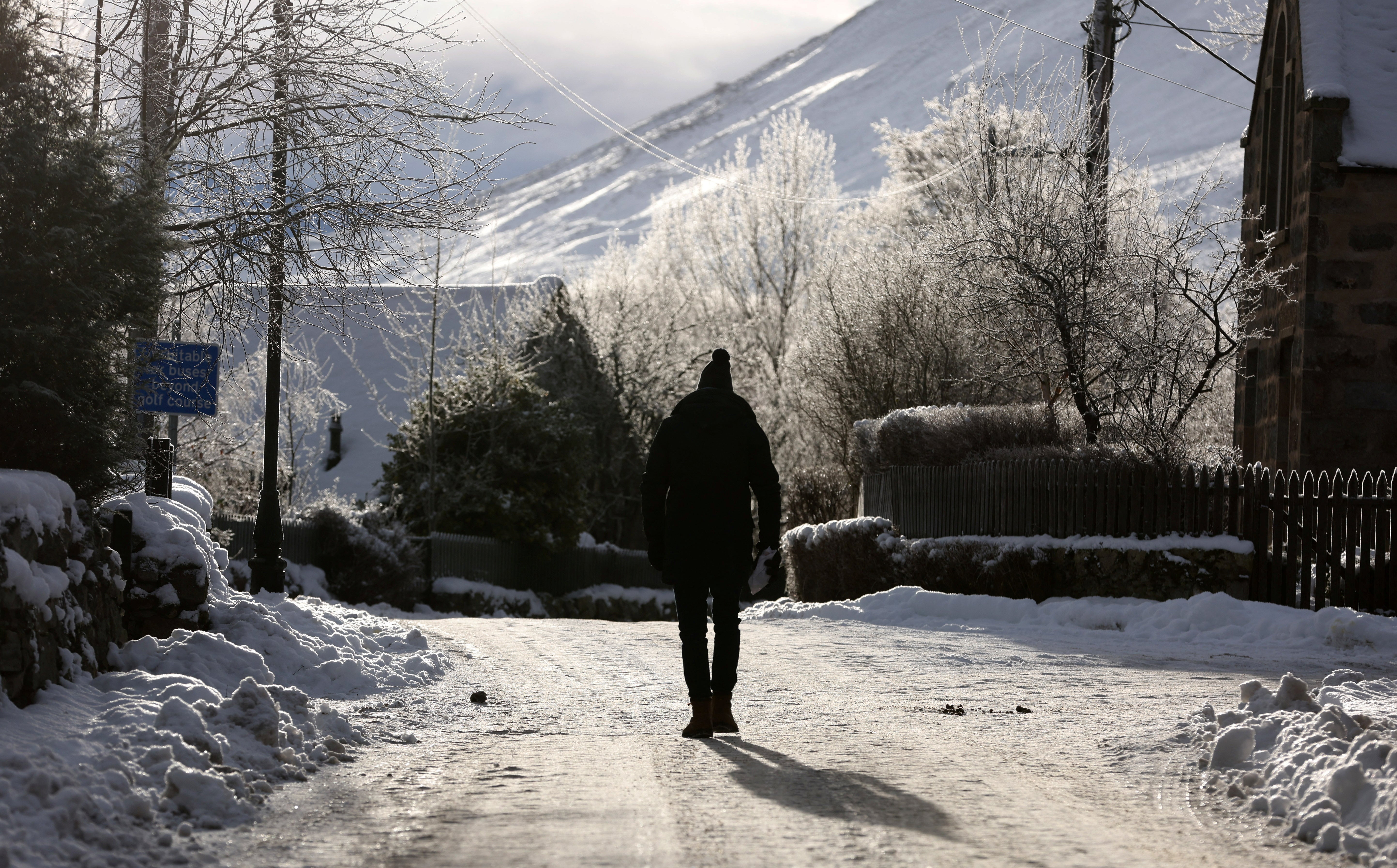
Temperatures could dip as low as -13C overnight as Britain faces another day of disruption from snow and ice.
Met Office weather warnings have been extended to Friday, with yellow alerts in place on Wednesday for south west and north east England, Northern Ireland and northern Scotland.
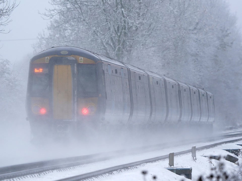
There has been significant travel disruption on the roads for the second day running, as motorists on Tuesday struggled with the icy conditions and rail commuters faced delays and cancellations compounded by strike action.
Scores of schools across the country were forced to close again due to the cold weather, as heating systems have failed and pipes burst from the freezing temperatures.
The temperature plunged overnight breaking Monday’s record of minus 15.7C, with Braemer, in Aberdeenshire recording a low of minus 17.3C.
A range of Met Office warnings are in place for the next three days. A snow and ice warning covering northern Scotland and north-east England has been extended until noon on Friday.


Snow and ice warnings are also in place in the South West from 6pm on Tuesday until 10am Wednesday and ice warning are in place in East England from 3pm on Tuesday until noon Wednesday and northern parts of Northern Ireland, including Belfast and Londonderry from noon Tuesday until noon Wednesday.
The Met Office’s Alex Deakin said temperatures overnight going into Wednesday could still plunge as low as -12C or -13C in Scotland.
“For many its a fine, bright day, there could be some freezing fog patches here and there but generally a clearer day compared to recent days,” he added.
“But these northerly winds continue to bring snow showers across northern and eastern Scotland and more of them coming into parts of eastern England, so again it could be icy here and we could see a covering of snow.”
The RAC experienced its biggest day for breakdowns on record on Monday, with around 12,000 drivers needing help.
RAC Breakdown’s Rod Dennis said: “Yesterday was officially our busiest day for breakdowns on record, with around 12,000 drivers needing help, the equivalent of eight every minute of the day. Even our busiest day during the infamous Beast from the East in 2018 didn’t see as many people breaking down.
“We believe two key ingredients have combined to create the worst-ever winter breakdown cocktail - a sustained period of cold weather with an absence of widespread snow that would otherwise keep people indoors, and a big rise in the number of drivers who can’t afford to maintain their vehicles as well as they’d like to due to the pandemic and the cost-of-living crisis.
“Today remains an incredibly demanding day for our patrols, with the rail strikes likely to force yet more people onto the roads.”
MET OFFICE OUTLOOK
This Evening and Tonight:
Occasional rain, sleet and snow across southwest England at times. Elsewhere, clear spells, but further snow showers affecting northern Scotland and northeast England. A few freezing fog patches in central areas and a widespread frost, locally severe over snow cover.
Wednesday:
Rain, sleet and snow across the southwest probably pulling away to the south. Otherwise sunny spells and wintry showers, mainly in coastal areas. Windy in places, accentuating the cold feel.
Outlook for Thursday to Saturday:
Remaining very cold for most, with further wintry showers, along with sharp overnight frosts and a risk of ice. Some wetter weather affecting northwestern areas on Friday and Saturday.
Join our commenting forum
Join thought-provoking conversations, follow other Independent readers and see their replies
Comments
Bookmark popover
Removed from bookmarks