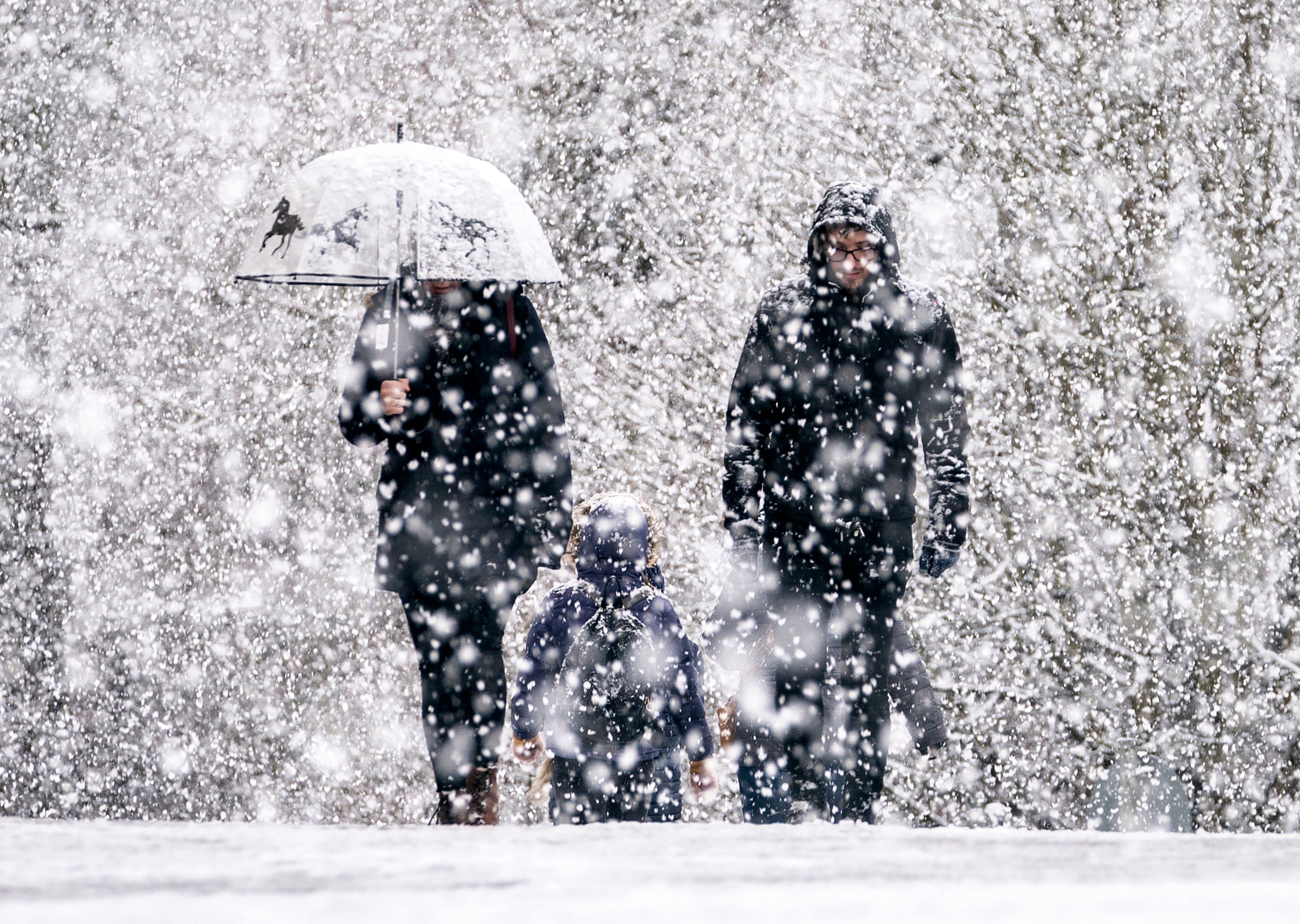
UK weather: Early signs of snow as Met Office forecast shows colder nights on the way
Milder conditions set to become more unsettled, with overnight temperatures dropping into single figures in parts of the country
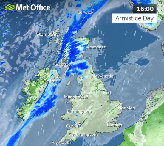
Snow could begin falling in parts of northern England and Scotland toward the end of next week, according to forecasts.
The Met Office said the first smatterings could be seen in the Scottish highlands and higher ground as temperatures start to drop, though the weather experts downplayed reports of ‘polar blasts’.
Met Office meteorologist Annie Shuttleworth said current mild conditions are expected to last for at least another five days before the weather turns more unsettled, bringing strong winds and rain.
The current forecast is for temperatures to drop below 10C in northern parts of the country by Monday evening, with nighttime lows of 8C in areas like Manchester and 7C in Northern Ireland by Tuesday.
But it will be a mixed picture, with daytime highs of 14C in London and the south-east. It comes after the UK was hit by heavy downpours during Storm Claudio at the start of the month, following an unseasonably warm October.


“With average temperatures for this time of November, you can get rain falling as snow on the high grounds of Scotland as well as potentially the high ground of England and Northern Ireland,” Ms Shuttleworth said.
“For the end of November, it generally looks like we’ll see high pressure and lots of dry and settled weather.
“That could bring some colder nights. There are no major signals for snow but we can see frost and fog becoming a little more likely into the back end of November.”
The Met Office’s long-range weather forecast from 15 November to 24 November says: “Conditions are likely to remain unsettled with further outbreaks of rain and showers, especially in the west, where winds could be strong at times.
“Eastern parts of the UK are likely to remain the driest, although could still experience intermittent rainfall.
“Moving further into November, high pressure may become more influential, bringing longer spells of dry and settled weather, with lighter winds.”
The forecast covering the end of November and the first week of December says showery conditions could affect some northern and eastern parts of the UK at times.
It adds: “Fog and frost are increasingly likely overnight, given clear skies, with fog potentially slow to clear by day.
“Temperatures are expected to be near the seasonal average, perhaps rather cold at times later in the period.”

UK 5 day weather forecast
Tonight:
Cloud and outbreaks of mainly light rain persisting across some central areas. Clearer and colder across northern Scotland with patchy fog developing across central and southern England.
Saturday:
Fog and low cloud slowly lifting across the south with some sunny spells developing across England and Wales. Cloud and rain moving north across Scotland and Northern Ireland. Very mild.
Outlook for Sunday to Tuesday:
Early fog and low cloud on Sunday lifting and breaking for many, with sunny spells developing, and becoming exceptionally mild in places. Turning unsettled and less mild into next week.
Join our commenting forum
Join thought-provoking conversations, follow other Independent readers and see their replies
Comments
Bookmark popover
Removed from bookmarks