NOAA predicts 70 percent chance of La Nina winter - what that means for where you live
La Nina would bring a colder than normal winter in the Pacific Northwest, and exacerbate drought to the Southwest
The La Nina weather pattern appears increasingly likely to return this winter for a second year running.
The National Oceanic and Atmospheric Administration (NOAA) says La Nina has a 70 per cent chance of arriving in November, affecting weather conditions across the United States until early spring.
Meaning “the girl” in Spanish, La Nina usually occurs when there are lower-than-normal temperatures to the central Pacific Ocean, and is one of the key drivers of weather around the globe.
But exactly what that will mean depends on where in the United States you live.
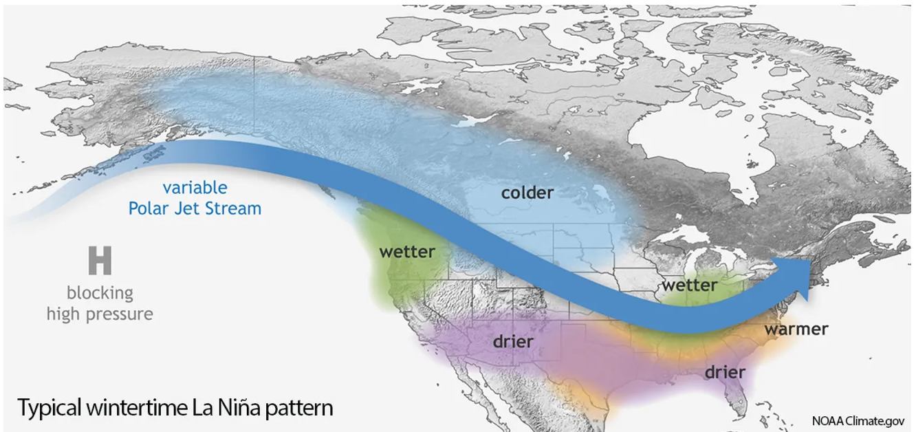
The colder-than-normal ocean temperatures usually bring cold temperatures and heavier snowfall to the Pacific Northwest, NOAA climate scientists say.
Last winter’s weak La Nina patterns helped boost the snowpacks in Washington state to 131 per cent their normal size as of April 1, the East Oregonian reported.
In Oregon, the snowpack was one and a half times its regular size as of April.


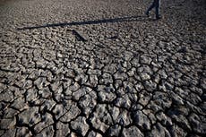
The Sierra Nevada snowpack, which provides 30 per cent of California with its drinkable water, was still at historically low levels after last winter’s La Nina, complicating efforts to fight this season’s wildfires and alleviate the drought.
A second straight year of La Nina could provide a timely boost for dwindling water reserves fed by the Sierra Nevada.
However, it could also worsen the extreme drought conditions ravaging the Southwest United States.
That’s because La Nina usually causes southern US states to experience a drier than average winter.
This would mean reduced winter rainfall for southern California, the Southwest states and Texas, and all the way to the Florida panhandle.
Climate scientists are still trying to understand how La Nina affects weather in the Northeast of the US, and NOAA believe there’s an equal chance of having a wet and dry winter.
They believe the increased rainfall in the Pacific Northwest will have a flow on effect to states like Ohio and the Tennessee Valley later in the winter.
Back-to-back La Ninas have occurred twice since 2010-11.
El Niño occurs when Pacific ocean water is warmer than average.
Join our commenting forum
Join thought-provoking conversations, follow other Independent readers and see their replies
Comments
Bookmark popover
Removed from bookmarks