The international accord, which was signed by every country except Nicaragua and Syria, lays out a framework for countries to reduce their fossil-fuel emissions to help keep the planet's overall temperature from rising by more than 2 degrees Celsius.
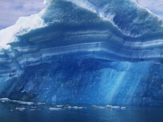
Since the Industrial Revolution, humans have had an unmistakable impact on Earth that has accelerated over time. This impact pops out in sharp relief when you look at this collection of images of what specific areas look like now compared with about 70 years ago.
In some cases, the images — mostly from NASA, unless otherwise noted — were taken as far as 50 years apart; in others, they were snapped within 10 to 15 years of each other.
Photographs from the 1940s to 2000s show the drastic effect of climate change on our planet's glaciers. Here are photos of Alaska's Muir Glacier in August 1941, left, and August 2004.
Starting in the 1970s, NASA began using satellite images to document deforestation in several national parks around the world. Here's Mount Elgon National Park in Uganda in 1973 compared with 2005.
Beginning in the 1980s, NASA also documented shrinking lakes across the globe, starting with this photo of Great Sand Dunes National Park in Colorado in 1987. It's shown on the right in 2011.
Droughts have affected the US intensely over the past few years as well. Here are three images of water drying up in Kansas, taken in 2010, 2011, and 2012.

Join our commenting forum
Join thought-provoking conversations, follow other Independent readers and see their replies