Met Office on how long heatwave will last after hottest day of year
Very warm weather is expected to continue over the coming weeks after the hottest day of the year was recorded this weekend
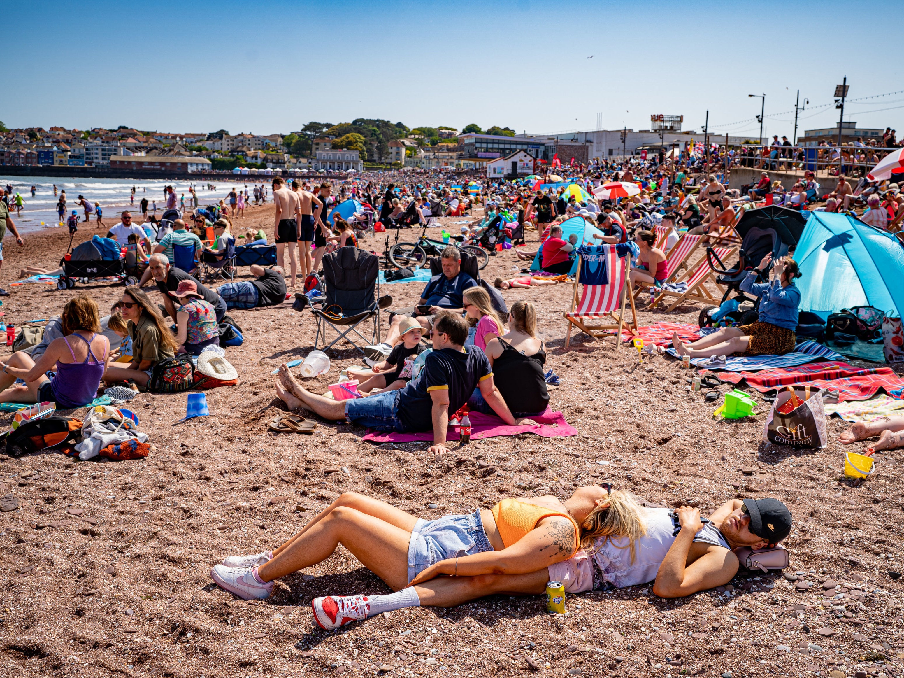
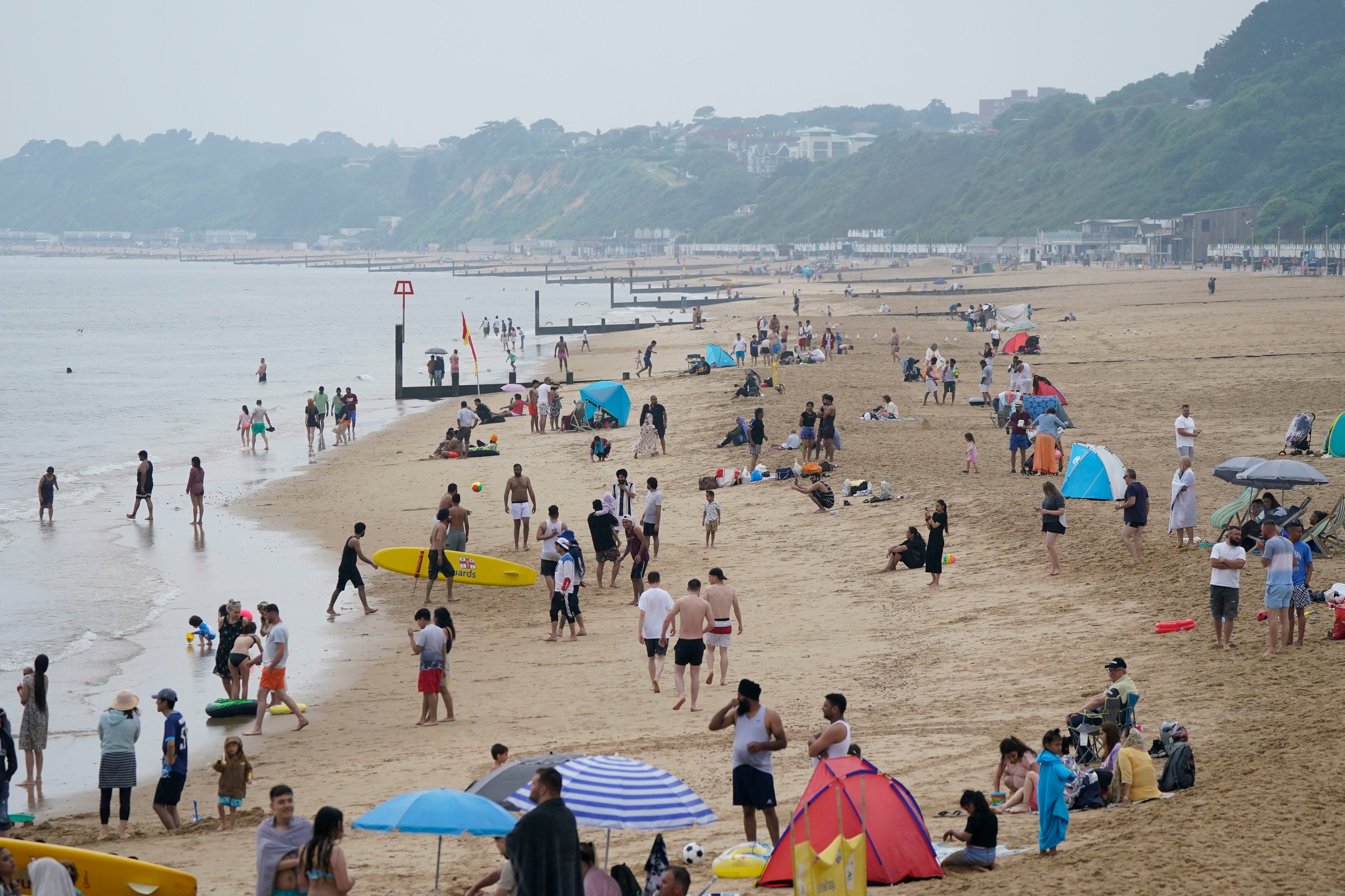
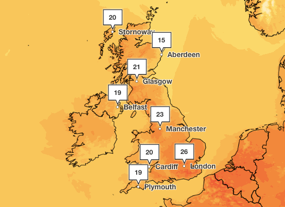
Very warm weather is set to continue across the majority of the UK this week after temperatures hit highs of 32C on Sunday, the hottest day of the year so far.
Temperatures went above 30C over the weekend in parts of the UK for the first time since August 2022, the Met Office said.
However, large parts of the UK face warnings for thunderstorms with lightning strikes and torrential downpours forecast on Monday.
A yellow weather warning is in place until 9pm on Monday for large parts of England including London, Oxford, Nottingham, and Manchester, with further alerts for Scotland and Northern Ireland.
Met Office Meteorologist Alex Deakin said while conditions are likely to be “dry and very warm and humid for the majority,” the heat and humidity are “likely to spark some big thunderstorms” across Wales, northern England, Northern Ireland and Scotland on Monday evening.


Meanwhile, it will become dry overnight with largely clear skies for most parts of the UK.
Warm and muggy conditions are expected to continue into Tuesday for most, according to the Met Office. However, showers and thunderstorms are expected in western Scotland and Northern Ireland.
However, Tuesday will be “a warmer feeling day in southwest England and southwest Wales compared to today,” Deakin said.
“The outlook is for more clear skies and not as many heavy thundery showers,” he said.
Looking to the rest of the week, sunshine is expected to continue, according to the Met Office forecast.
Deakin said: “We’re going to lose some of the humidity. Temperatures just dropping down a touch, but still likely to get into the mid to high twenties, and nights becoming a little more comfortable, but only a little bit.”
In the coming weeks, warm weather and thunderstorms are predicted to continue.
The Met Office long range forecast for Friday 16 June to Sunday 25 June says: “The first half of the period will most likely be fine and settled with long periods of sunshine across most of UK.
“However, showers or thunderstorms may occur towards the west with cloudier and showery conditions in the Shetlands and western isles while the vast majority stay dry.
“Light to moderate easterly winds are likely to be dominant and temperatures are likely to be warm to hot during the day and overnight, perhaps cooler along the east coast.
“Later in the period, conditions are expected to remain similar throughout with dry and settled conditions likely to remain in the north of the UK. Perhaps chances of showers and thunderstorms development towards the south of the UK.”
Join our commenting forum
Join thought-provoking conversations, follow other Independent readers and see their replies
Comments
Bookmark popover
Removed from bookmarks