Tube strike: Three maps to navigate yourself around London
The strikes represent the most severe disruption to the network since 2002, and people using the service can expect delays

Get the free Morning Headlines email for news from our reporters across the world
Sign up to our free Morning Headlines email
All 11 lines of the London Underground network are due to shut down in this week’s tube strikes, potentially causing large delays to those journeying across the capital.
Members of RMT, Unite and TSSA will walk out on Wednesday for 24 hours from 6.30pm, and members of Aslef, which represents tube drivers, will walk out for 24 hours from 9.30pm.
This represents the most severe disruption to the network since 2002, and people using the service can expect delays.
With this in mind, here are some useful maps of alternative transport, to help you navigate your way around the capital without the tube.
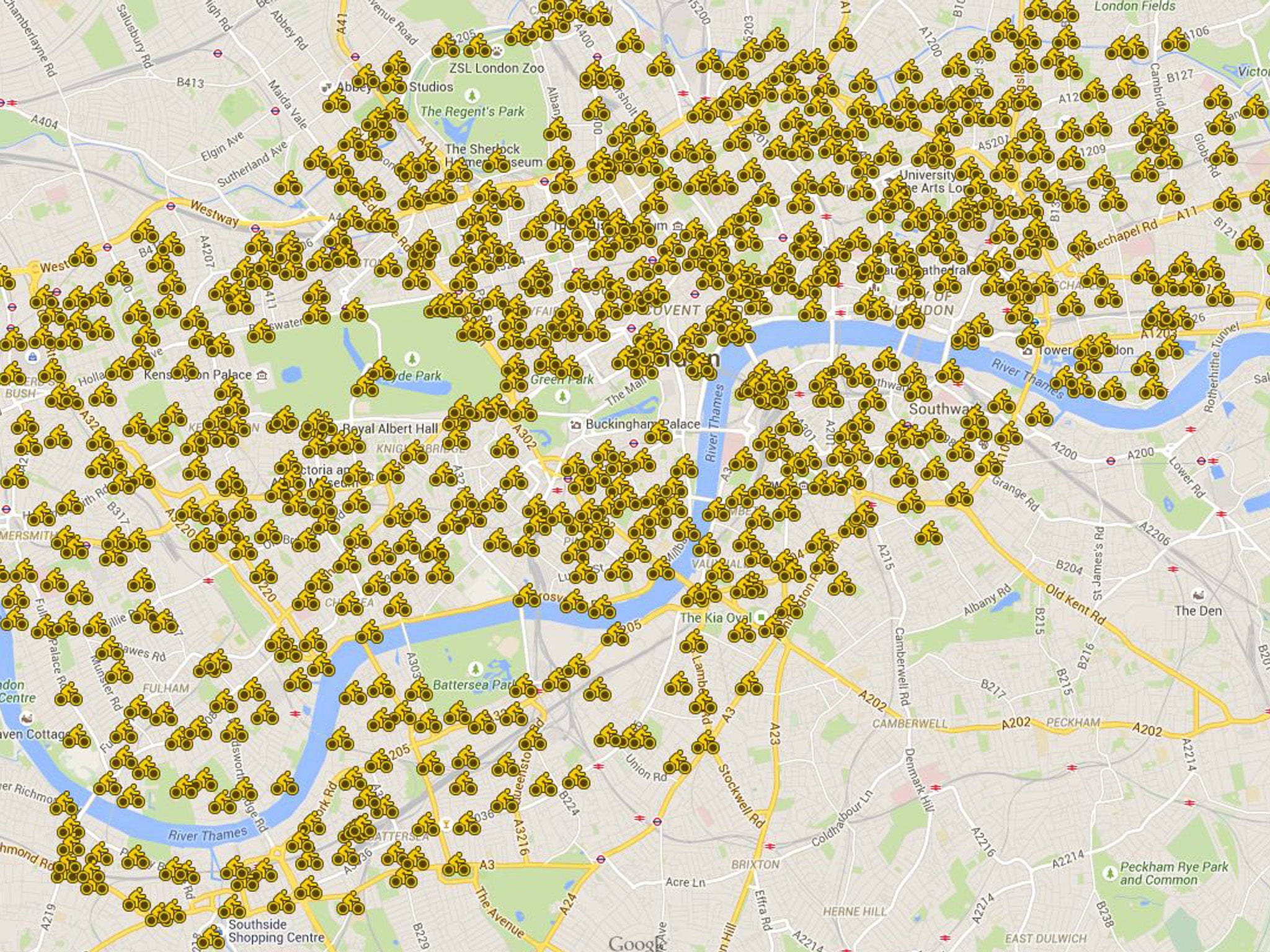
Boris Bikes:
Use our interactive map to find your nearest public cycle hire station.
Bus stops:
Bus services are expected to be busier than ever during the strikes and helpfully, if you’re not already using apps, Tfl’s site has some helpful maps for planning bus journeys.
Walking between tube stations:
This helpful little graphic was devised by London-based advertising creatives Joe Watson and Aryven Arasen ahead of the industrial action.
It shows how long it takes to walk between stations on the underground - see the main article for a better resolution image.
Or alternatively, you can use the official one from TfL.
Subscribe to Independent Premium to bookmark this article
Want to bookmark your favourite articles and stories to read or reference later? Start your Independent Premium subscription today.
Join our commenting forum
Join thought-provoking conversations, follow other Independent readers and see their replies