UK weather: More misery for flood-hit Britons as rivers hit record levels and Met Office warns of further storms to come
As the country catches its breath from ‘wild Wednesday’, forecasters say Britain’s ‘almost unparalleled’ natural crisis is going to get worse

Get the free Morning Headlines email for news from our reporters across the world
Sign up to our free Morning Headlines email
With Britain facing an “almost unparalleled” flooding crisis and still reeling from yesterday's winds of over 100mph, experts have warned that more heavy rain will see river levels continue to rise.
There are now 17 of the severest flood warnings in place from the Environment Agency, meaning danger to life, and the agency warned that the River Thames is already at its highest level for 60 years.
Around 65,000 homes remain without power as a result of the storm yesterday dubbed "wild Wednesday", and the disruption is expected to be compounded tomorrow by winds of up to 80mph and further persistent, heavy rain.
The Met Office has now upgraded its warning for rain to amber going into the weekend, alongside a yellow alert for strong winds, with the former bringing yet more misery to the "most sensitive" flood-hit areas of Wales and southern England.
Forecasters said there would be a "multi-pronged attack" of wind, rain and snow striking the country tomorrow. The heavy rain could lead to more flooding as downpours of up to 40mm (1.6 inches) could fall in just six hours, a Met Office spokesman said, taking the tally of rain for this week above the average rainfall expected for the whole of February.
As well as surface water problems the rain could also impact on already full to bursting rivers. The River Severn was recorded at its highest level since Environment Agency records began at Worcester today, though experts there insisted that there were no fears flood defences would be breached.
When the new storm hits tomorrow, large waves and very strong winds will create "potentially dangerous conditions" along the south coast, and the Met Office warned the public should "be aware of the potential for disruption to travel as well as trees being uprooted and damage to structures".
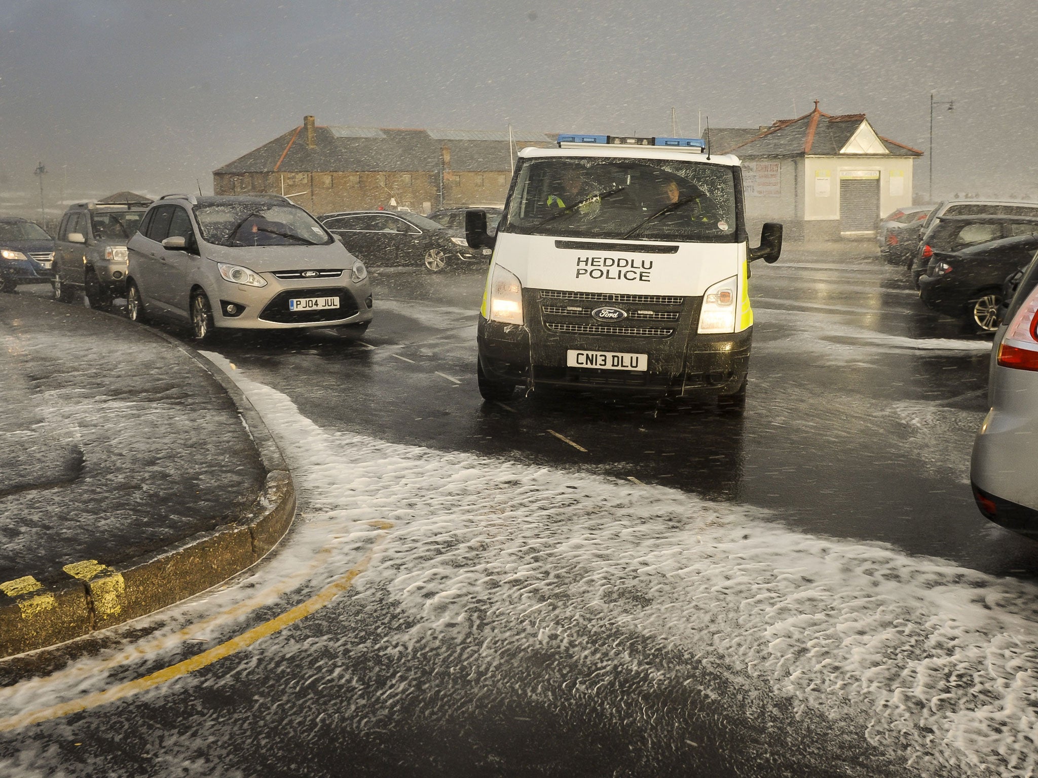
In pictures: Storms batter the UK
Show all 35It means there is unlikely to be any respite for flood-stricken communities in the short term. The Prime Minister, who is set to lead talks today on Britain's flood relief effort, had previously warned the river levels are expected to peak again on Sunday and Monday.
The Met Office confirmed that after a mainly dry Sunday, the next weather system will not be far behind. Sky News weather presenter Isobel Lang said Britain should be prepared for two more strong storms next week.
She said: "Saturday will be rainy everywhere and while Sunday will be goodish, the next depression will bring more rain on Monday.
"Tuesday and Wednesday will be drier before another low brings strong winds hitting the south of the country on Thursday, which will continue into the weekend.
"One positive sign from the long-range forecast is that things may start to dry up into the last week of February, bringing some respite for the worst-hit areas."
The floods were described as an "almost unparalleled" natural crisis by the Army's Major General Patrick Sanders.
He said 1,600 troops had been committed and thousands more were available if needed to help communities deal with flooding.
"There's more that we can do and we want to do more wherever we can make a difference, so please use us, that's what we're here for," he said.
The Ministry of Defence last night said more than 2,000 military personnel were on "high-readiness" to respond to requests in flood-affected areas.
With some 5,800 properties flooded and no immediate end to the crisis in sight, Mr Cameron lead a new Cabinet committee on flood recovery, replacing today's scheduled meeting of the full Cabinet.
Mr Cameron promised on Tuesday that "money is no object" in offering relief to those affected by the floods, though Transport Secretary Patrick McLoughlin indicated that there would be "careful consideration" before money is spent on the larger rebuilding exercise after water levels recede.
Toby Willison, programme director at the Environment Agency, said: "This is an exceptional event, it was the highest rainfall in January since 1776 and we think it is likely December, January and February will be the highest for 250 years," he said.
Weather forecaster MeteoGroup said Capel Curig in north Wales had seen the UK's highest rainfall yesterday, with 35mm recorded from 6am to 6pm.
The Thames Valley has seen its third wettest winter since 1908, according to the University of Reading's Atmospheric Observatory.
It measured 12.5ins (319.3mm) of rain in the region since December 15 - compared with an average of 6.4ins (164.4mm) for December, January and February.
Andrew Barrett, a storm expert at the university, said: "It will be a miracle if this is not the wettest winter on the record - with yet more storms set to batter the UK over the coming days."
Subscribe to Independent Premium to bookmark this article
Want to bookmark your favourite articles and stories to read or reference later? Start your Independent Premium subscription today.
Join our commenting forum
Join thought-provoking conversations, follow other Independent readers and see their replies