More downpours and snow forecast across UK but temperatures are expected to rise
Widespread rainfall of 10-20mm is expected but milder weather is on the horizon
Parts of the UK are bracing for significant disruption today due to heavy downpours and snow, though forecasters predict a welcome shift towards much milder weather by the weekend, with temperatures potentially climbing into the teens.
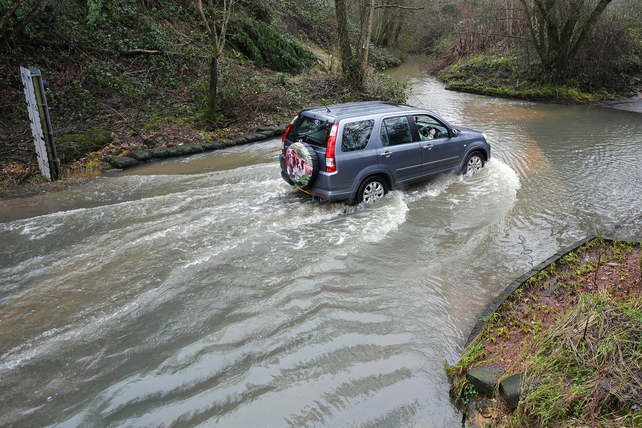
A yellow weather warning for heavy rain is currently in force across a large area of southern England, stretching from Cornwall to Kent, and will remain active until 8am on Thursday. Widespread rainfall of 10-20mm is expected, with coastal areas potentially seeing up to 30mm. Dartmoor in Devon could be particularly affected, with up to 50mm of rain anticipated.
Further north, a separate yellow warning for snow covers the West Midlands and Wales, running from 4pm on Wednesday until 6am on Thursday. The Met Office has cautioned that this snow, accompanied by strong winds, could lead to cancelled flights and train services, and potentially leave vehicles stranded. Northern Ireland is also under a yellow warning until 8pm on Wednesday, with outbreaks of rain, hill snow, and strong gusts of up to 50-55mph expected to cause disruption.
Forecasters have said 2 to 5cm of snow could accumulate quite widely above 150 to 200m, with perhaps as much as 10 to 15cm above 250 to 300m in mid- and south-east Wales, as well as Herefordshire and Shropshire.
Some small accumulations of snow, typically less than 2cm, are possible on lower ground, especially from later Wednesday evening into the early hours of Thursday morning.
Strong east to north-easterly winds are also expected to accompany the wet weather.
Senior Met Office meteorologist Craig Snell described Wednesday as "a very wet and windy morning" for many, though he noted that those in northern England will be "wondering what’s going on" as they are set for a dry day. He added: "By the time we get into the late part of the day on Thursday, by that stage, the winds should be clearing away and Thursday will just be a slow improvement day."
The outlook brightens considerably for the weekend. "It’s all change after that," Mr Snell explained, with conditions set to feel "much, much milder" as temperatures reach the "low-to-mid teens, if we see some sunshine." While further spells of wind and rain are possible, "most of us will certainly see an uplift of temperatures as we go into the weekend."
Join our commenting forum
Join thought-provoking conversations, follow other Independent readers and see their replies
Comments
Bookmark popover
Removed from bookmarks