Hundreds of flood warnings across UK in aftermath of Storm Kathleen with ‘danger to life’ winds expected
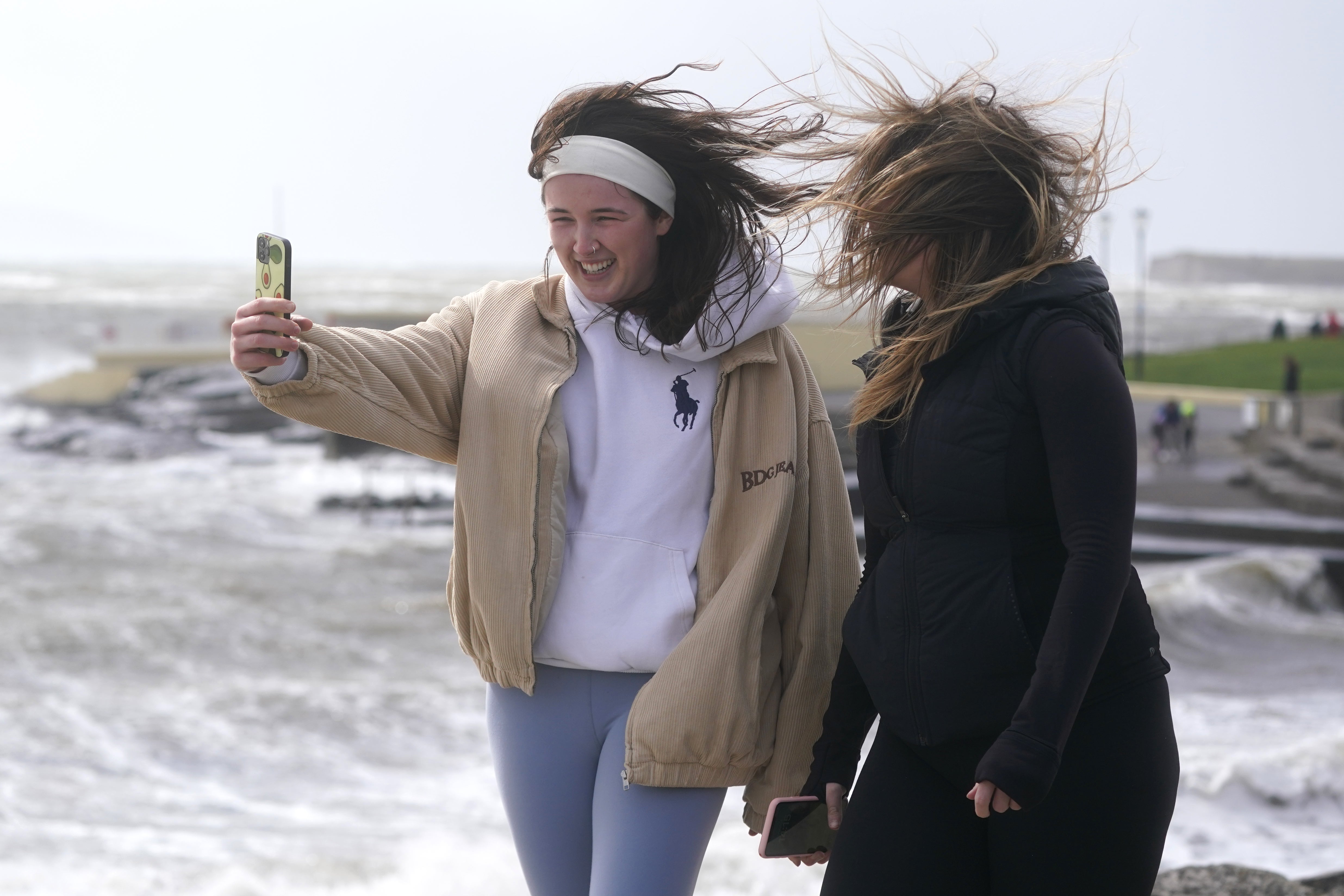
There will be no respite from strong gusts and heavy rain as a second stormy episode strikes the coastlines
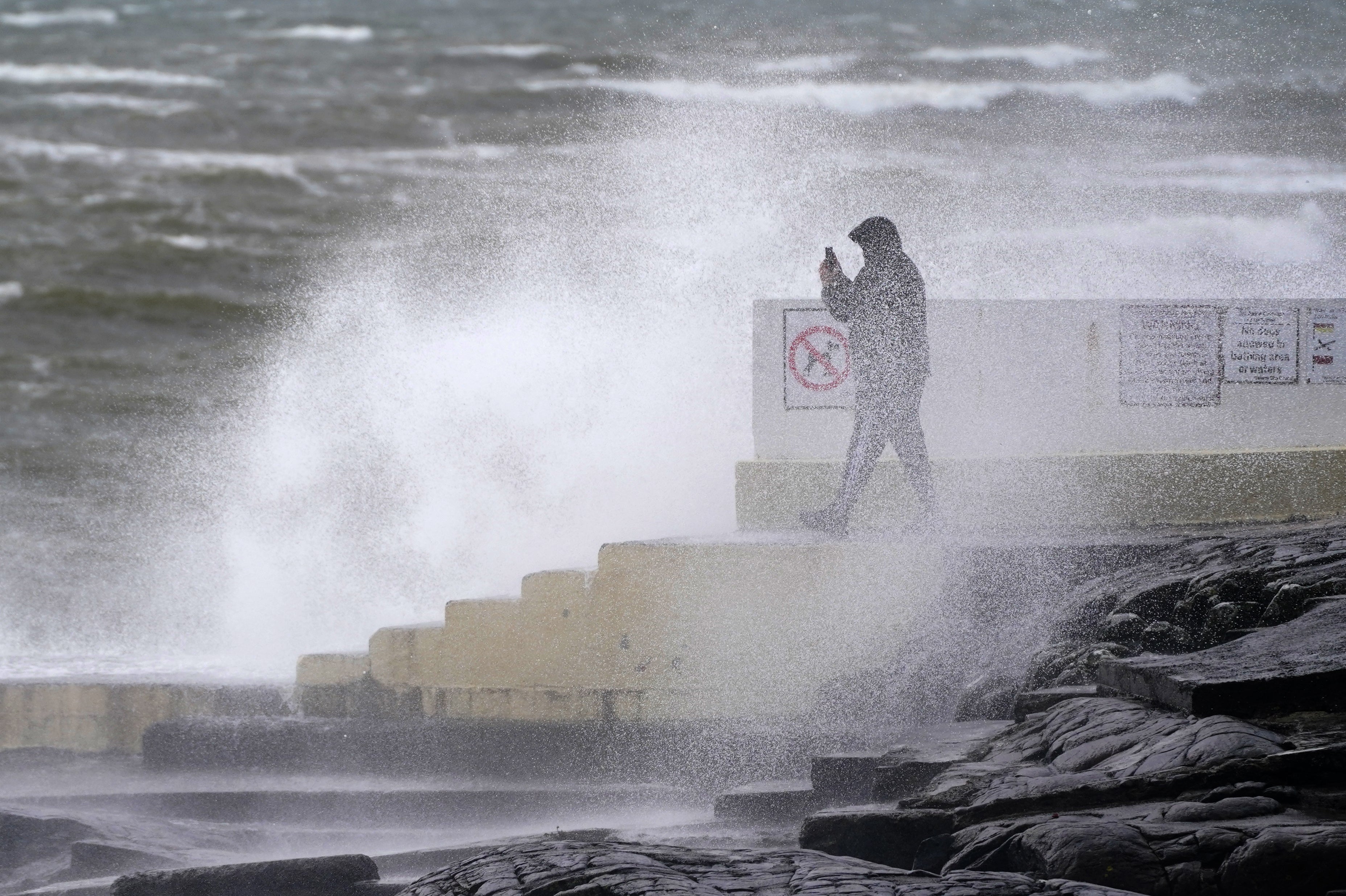
The Met Office has issued fresh weather warnings for 65mph gales in the aftermath of Storm Kathleen.
Large swathes of the country are on high alert with 95 flood warnings and 209 flood alerts issued by the Environment Agency.
There will be no respite from strong winds as a second low-pressure area approaches the UK, following Storm Kathleen which brought 70mph winds and travel chaos over the weekend.
A yellow wind warning has been issued until 9am on Tuesday across the south coast, as winds of up to 65mph are expected to hit the shores, with flying debris bringing a small chance of danger to life.
Earlier on Monday, a van driver was rescued from his roof by firefighters when a 3.5ft high tide led four vehicles to become stranded.
The fire service attended but six people stranded during the incident at the Strood causeway at Meresea Island, Essex, managed to escape before crews arrived.
Essex County Fire and Rescue Service said on Monday: “With school holidays and the weather getting warmer, please plan your journeys ahead and check tide times before you travel.
“That’s the message from firefighters who rescued one person trapped in their car from The Strood, West Mersea this afternoon.
“Four more vehicles have been left abandoned and are waiting for road recovery.
“If you can’t see any signs about how deep the water is, don’t risk driving through it. For flooded roads, turn around and find another route.”
More Met Office weather warnings for wind and rain have been issued across the UK with even more disruption reported overnight after strong gales hurtled in from the south-west coast.
There are three Met Office weather warnings covering southern England, western Wales and mainland Scotland on Tuesday.
The stormy conditions could cause damage to buildings and delays to road, rail and ferry transport are possible, with a small chance of road and bridge closures.
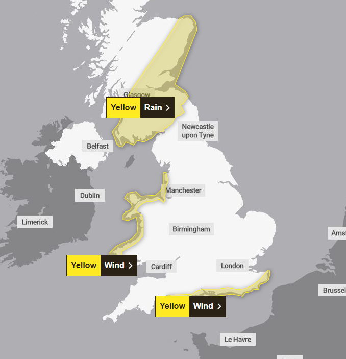
The south-west is the first to face the winds this evening and overnight which will then reach the south-east towards Kent, and north along the coasts of the Celtic and Irish seas to Lancashire.
Met Office chief meteorologist Frank Saunders said: “This system is in its deepening phase at present and will bring the strongest gusts to areas on its western and southern flanks.
“As the system develops it will bring warmer air back into some southeastern areas of England today, but with the potential for some isolated thunder and lightning this evening.”
Over the weekend Storm Kathleen wreaked havoc leaving thousands without power, and around 70 flights departing and arriving at UK airports before midday on Saturday were cancelled.
As heavy downpours persist over the week, the Environment Agency forecasts coastal and tidal flooding until Wednesday, with local flooding in north-west England on Tuesday,
Join our commenting forum
Join thought-provoking conversations, follow other Independent readers and see their replies
Comments
Bookmark popover
Removed from bookmarks