Will it rain blood on Halloween? Saharan dust clouds likely to bring ghoulish weather phenomenon to the UK
Warm fronts expected to carry large amounts of red Saharan sand which, as the warm spell turns to rain and possibly even snow at the end of the week, will fall in liquid droplets that look like blood.

Get the free Morning Headlines email for news from our reporters across the world
Sign up to our free Morning Headlines email
Badly carved pumpkins? Jelly worms? Ill-fitting witch hats? Not particularly scary is it? In fact the most troubling thing you’ll see on a typical Halloween night in the UK is a gang of 13-year-olds armed with a box of eggs.
But this year that could all change, with weather forecasters predicting showers of ‘blood rain’ - a bizarre natural phenomenon that could strike fear into the hearts of unsuspecting trick or treaters.
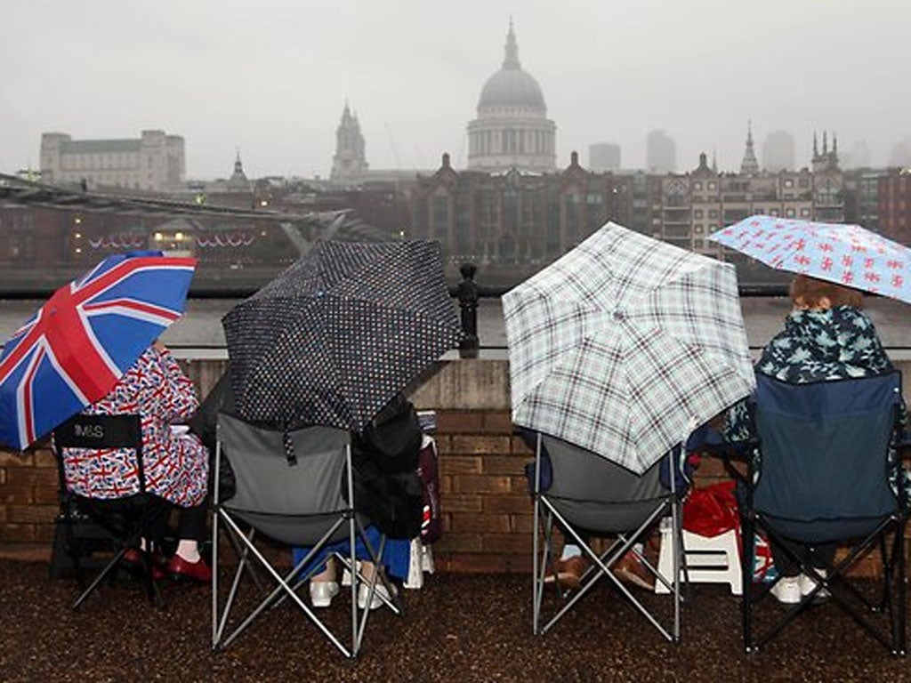
The sinister-looking rain will actually be a partial result of the unseasonably mild weather the UK is set to experience this week, with Saharan winds predicted to bring temperatures well over 20C.
These warm fronts are expected to carry large amounts of red Saharan sand which, as the warm spell turns to rain and possibly even snow at the end of the week, will fall in liquid droplets that look like blood.
The Met Office described how rain carrying dust from the Sahara stains cars when it falls: “Where there has been rain in the southeast there has been red dust brought down with it. When the rain dries off it leaves a red residue,” a spokeswoman said.
Before that creepy weather event, however, the UK is set for far more picturesesque scenes as bright skies and warm weather compliments Autumn’s spectacular oranges and browns.
Meteogroup forecaster Brendan Jones said: 'The warm weather is being brought in on a wind from France and it has been 25C (77F) to 26C (79F) there this weekend.
'Some of that warm air is going to try to cross the Channel on Monday and Tuesday, but it is going to struggle to get further than the South East.
'If the sun comes out we could see an extension of the Indian summer that is being seen on the Continent.'
But the season of mist and mellow fruitfulness won’t last for long, with freezing Arctic winds replacing warm Saharan ones by the end of the week, bringing with them snow and heavy frosts.
The cold snap will send temperatures plummeting across the UK, but northern England and Scotland is likely to suffer the most.
Subscribe to Independent Premium to bookmark this article
Want to bookmark your favourite articles and stories to read or reference later? Start your Independent Premium subscription today.
Join our commenting forum
Join thought-provoking conversations, follow other Independent readers and see their replies