Hurricane Sam: Fears category 4 storm could catch US out like Sandy
‘Swells generated by Sam are forecast to reach the Lesser Antilles early this week,’ met department warns
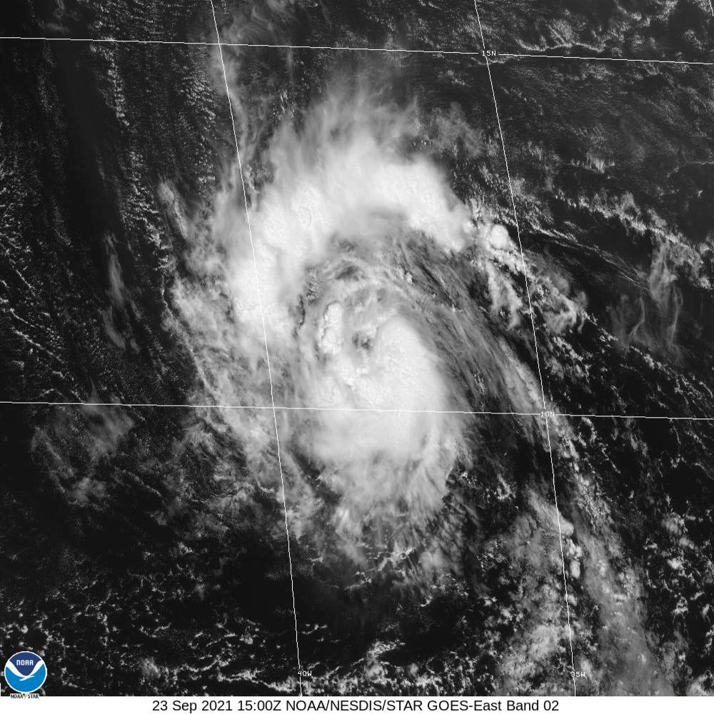
Hurricane Sam, a powerful Category 4 storm that moved westward through the Atlantic Ocean, continued to strengthen on Sunday, the US National Hurricane Centre (NHC) said.
As of 11 pm, the storm was located about 850 miles off the northern Leeward Islands in the Caribbean Sea with winds gusting up to 145 mph. Sam, the seventh hurricane of this season, has a relatively smaller reach with winds reaching 30 miles from its core and its tropical storm force winds stretching up to 90 miles.
"Some fluctuations in intensity are expected during the next day or so. Thereafter, slow weakening is forecast. However, Sam is still expected to remain a major hurricane through midweek," said the met department in its last update.
It is not clear if the hurricane will make landfall on the east coast of the US, affecting Florida.
So far the "small but dangerous" hurricane is far away from land, but experts fear the powerful storm could potentially end up like hurricane Sandy, causing widespread destruction.
According to AccuWeather forecasters, the west path through the northern islands of the Caribbean seemed unlikely and a dip in the jet stream would steer Sam away from the United States.
"But if that jet stream dip sets up farther west or meanders westward, then there is room for Sam to get very close to the US next weekend," meteorologist Bernie Rayno said.
A similar change in course nine years ago led to hurricane Sandy lashing into New Jersey. Sandy caused at least 300 deaths and damages to the tune of $70bn.
Even though Sam remains east of the US, it could lead to swelling of seas along the Atlantic coast from central Florida to Maine.
"Swells generated by Sam are forecast to reach the Lesser Antilles early this week. These swells could cause life-threatening surf and rip current conditions," the met department warned.
"The sooner Sam begins to track to the north the more likely the hurricane's dangerous eyewall, with its destructive winds, will avoid the islands on Monday and Tuesday. With an earlier northward turn, the outer rain bands from the storm would bring brief heavy, gusty squalls with rough seas and surf to the islands," AccuWeather forecasters suggested.
The NHC is also monitoring three other systems in the Atlantic Ocean. The low depressions have a 20-50 per cent chance of forming into a cyclone in the next 48 hours.
So far, Sam is the 18th named storm of the 2021 Atlantic hurricane season.
Join our commenting forum
Join thought-provoking conversations, follow other Independent readers and see their replies
Comments
Bookmark popover
Removed from bookmarks