‘The threat doesn’t end after Friday’: When will California’s dangerous fire weather finally die down?
Forecasters have given an update about what we can expect from the fierce winds over the weekend and into next week
The winds that are fueling the deadly wildfires in Southern California will continue to pose a threat over the weekend and into next week, forecasters warned.
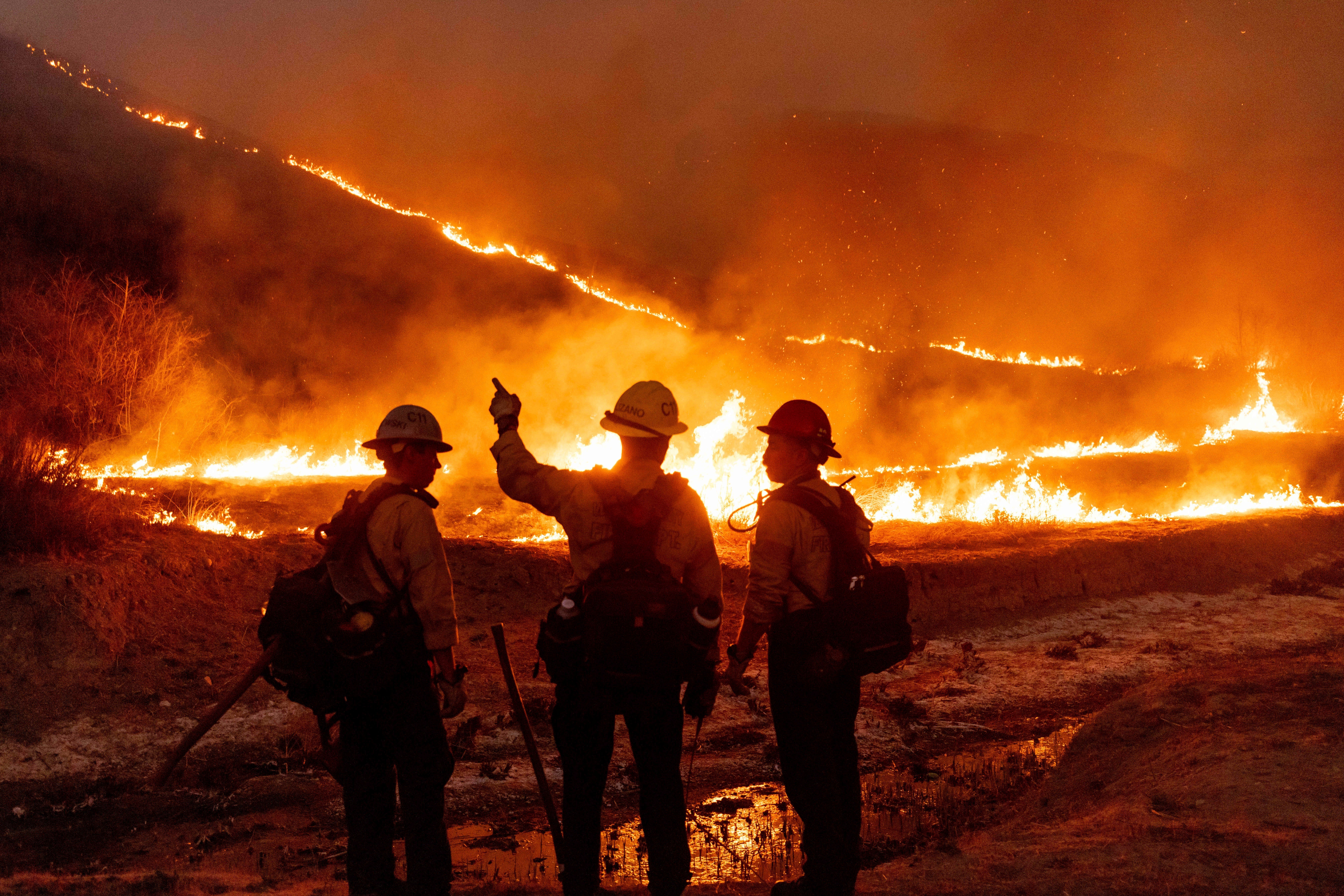
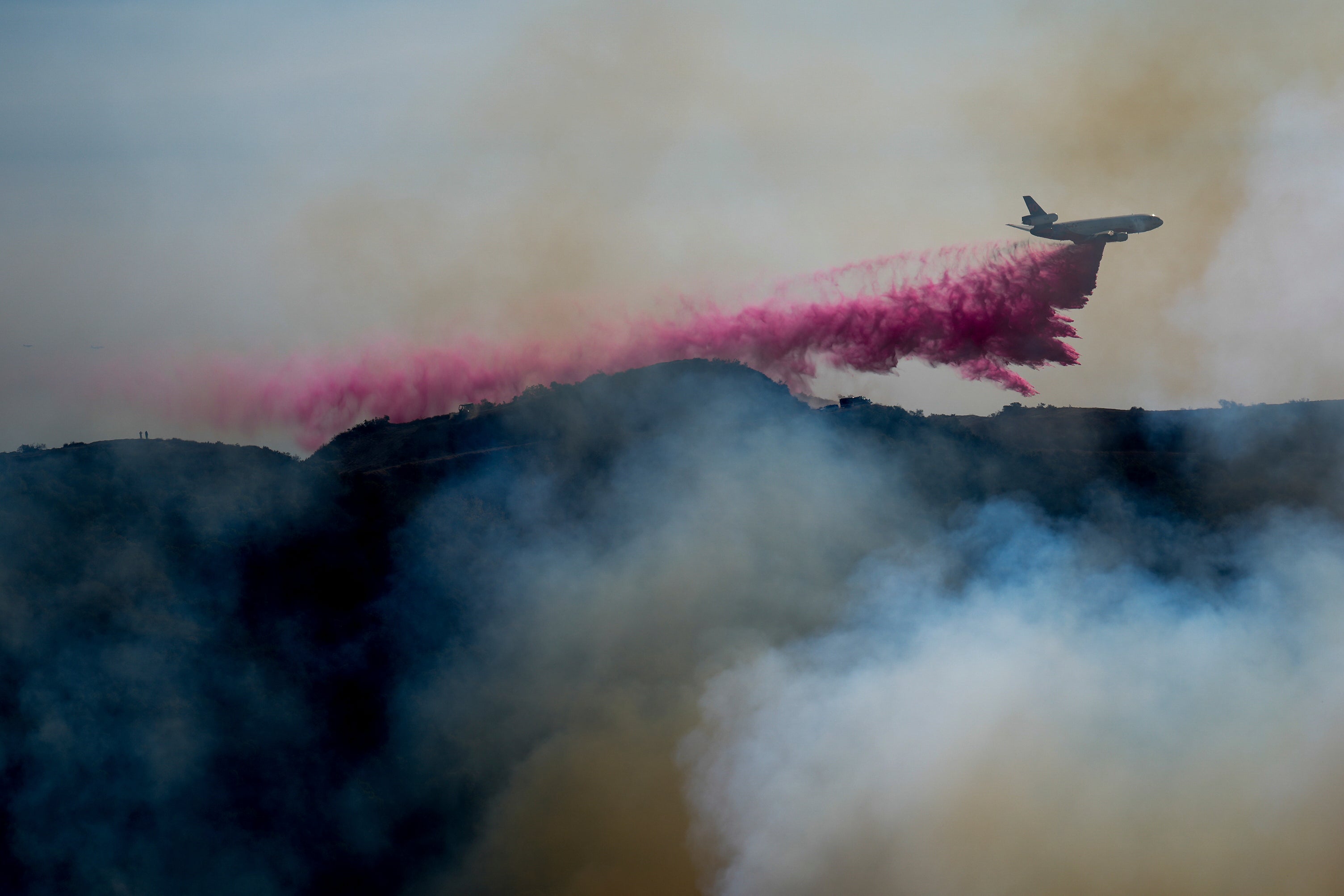
While firefighters have made some progress on containing the blazes that have torn through Los Angeles this week, forecasters say that the danger is not over, with strong wind gusts near 60 mph continuing into Friday evening and beyond.
There are currently five active wildfires throughout Los Angeles County, which have so far burned more than 36,000 acres and thousands of structures.
The Palisades and Eaton Fires are now some of the state’s most destructive in history and have claimed the lives of at least 10 people, with the death toll expected to climb.
Howling Santa Ana winds have battered Southern California, which is particularly vulnerable to the weather event in the colder months.

The National Weather Service Los Angeles previously warned that “the threat doesn’t end after Friday,” adding that the winds will peak on Sunday, next Tuesday and Wednesday. There is expected to be a lull in the winds on Saturday.
The fierce winds that funnel through from Nevada and Utah to the region have reached gusts of up to 100 mph in some parts this week, fanning the flames.
Firefighters had a small reprieve on Friday when the winds eased slightly, but another blast is forecast, with the strongest likely to hit on Tuesday.
“Another round of gusty north to northeast winds will develop later Saturday into Sunday, then a stronger offshore wind event is possible between Monday night and Wednesday,” the NWS said. “Right now it looks like Tuesday will be the strongest day.”

There is some good news — the NWS said that next week’s weather is unlikely to be as severe as “this week’s very dangerous event.”
However, the agency warned: “Still, the low humidities and the winds will combine to bring enhanced fire danger to the area. Residents are urged to stay tuned to latest information and remain vigilant in steps to protect your life and property.”
There is no substantial rainfall forecast for Southern California over the next few days as the region has endured a particularly dry spell.
Dry conditions, paired with the winds, have created a perfect storm for fires to spread quickly, experts have said.
A lack of humidity in the air causes vegetation to dry out and essentially become kindling for a fire. The wind speeds can stoke any spark, from a fallen power line to a discarded cigarette bud, and rapidly spread.
Join our commenting forum
Join thought-provoking conversations, follow other Independent readers and see their replies
Comments
Bookmark popover
Removed from bookmarks