Tired of snow? Next weekend could be even worse and drop even more, models show
Major cities along the I-95 corridor, including New York, Boston and Washington, D.C., may see even more snow next weekend
Just as many Americans are digging themselves out after the first blockbuster winter storm of the year, a second major snowstorm may be brewing, models show.
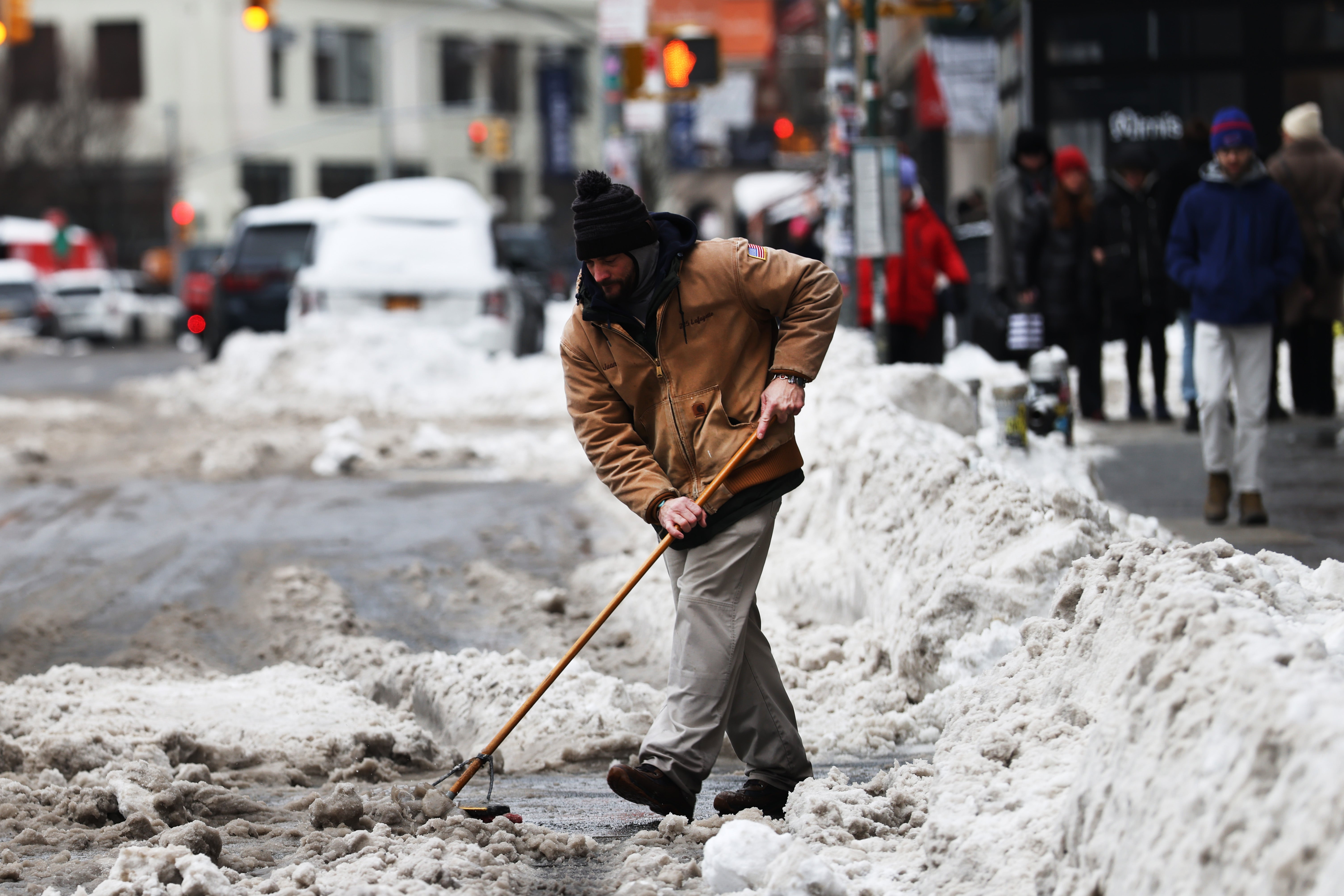
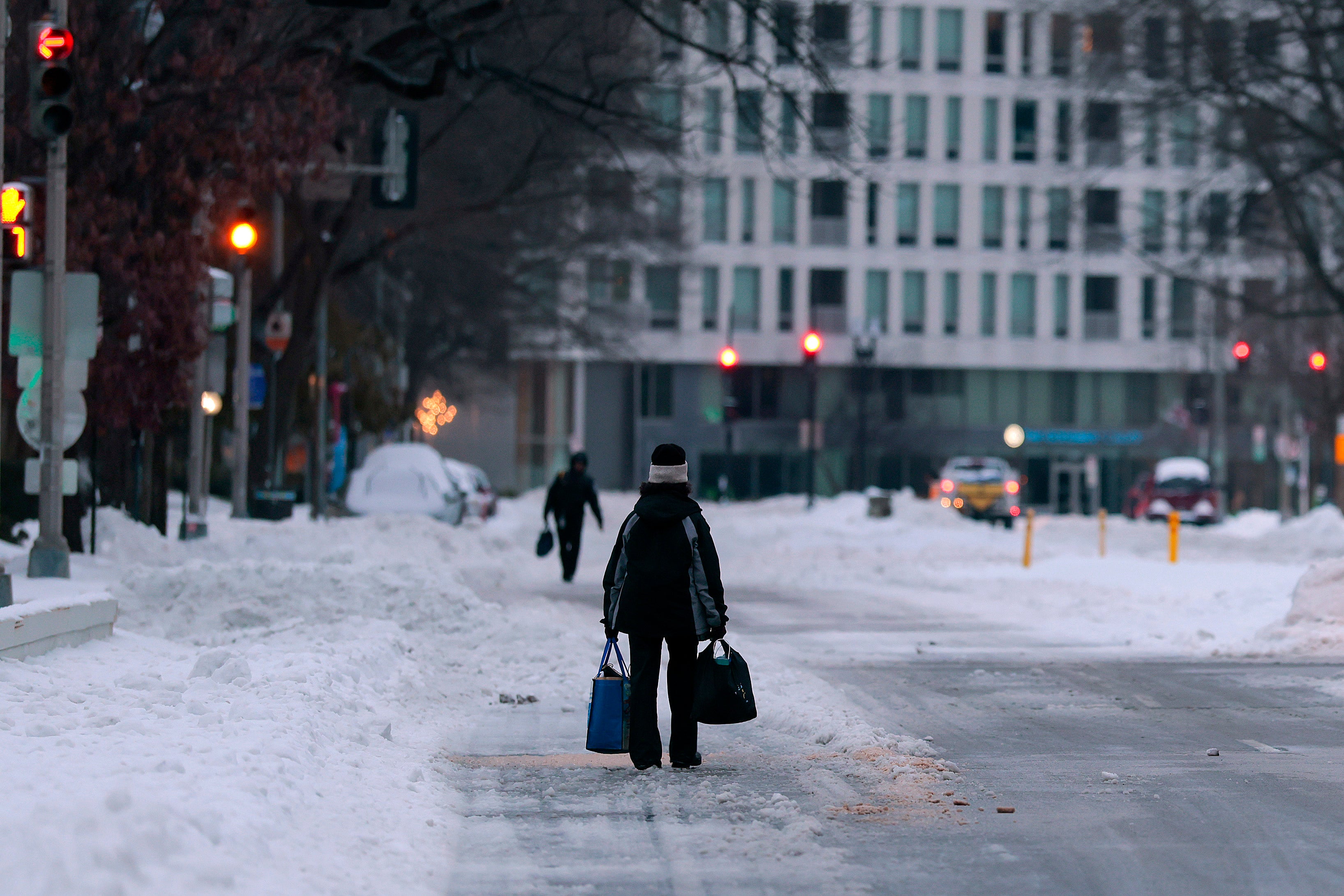
This past weekend’s storm dropped over a foot of snow across 20 states and left more than 710,000 people without power Monday.
The extreme cold is set to persist throughout the week, and some states that were walloped by snow and ice may see even more on top of it next weekend.
“Late this weekend into early next week, the snow risk is all the way from Central Tennessee into most of West Virginia, central western Pennsylvania, most of New York except the Great Lakes and most of New England,” AccuWeather Meteorologist Chad Merrill told The Independent.
All major cities along the Interstate-95 corridor in the northeast — Boston, New York, Philadelphia, Washington, D.C., all of which saw between 10 and 20 inches of snow last weekend — may see more snow, Merrill said.


Precipitation could begin along the Gulf Coast as soon as Friday, with rain likely south of Interstate 10 from Louisiana to Florida.
Depending on how strong the storm is, snow may mix with rain from Interstate 10 north, across parts of Louisiana, Mississippi, Alabama and Georgia, according to AccuWeather.
Portions of those states were already hit by snow and ice last weekend. Witts Springs, Arkansas, recorded 12 inches of snow, and Louisiana saw over six inches in some parts, according to the National Weather Service.
Louisiana and Texas were hit with the most power outages, as the massive snowstorm continued to impact Americans into Monday. Over 700,000 remained without power amid sub-freezing temperatures.
Areas that will be impacted next weekend depend on how close to the coast the storm tracks, Merrill said.
If the storm tracks closer to the coast, it will likely bring strong winds and heavy snow to the mid-Atlantic and northeast from late Saturday into early Monday. But if it tracks further to the east, the risk for heavy snow would be significantly reduced, Merrill said.
Some areas that were hit by last weekend’s storm, like the Southern Plains region into Arkansas and western Louisiana, will likely be spared should the current models come to fruition, Merrill said.

“Folks from the central and eastern Gulf Coast, Jackson, Mississippi, Atlanta and Charlotte, would see snow and some rain from this storm,” Merrill said. “So those folks would definitely be impacted, but not the entire breadth of the population that was impacted by the last storm.”
However, whether it will be another blockbuster storm is yet to be seen. Forecasters say they will have a better idea of the timing and what areas will be impacted as the week progresses.
Should the storm strengthen enough, it could turn into a nor’easter and drop heavy snow along the entire Eastern Seaboard. If the storm strengthens quickly, it could also track as far west as the Appalachians from North Carolina to Pennsylvania, according to AccuWeather.
A wave of cold air will likely follow the storm, meaning no respite for regions experiencing sub-freezing temperatures. It will also mean that snow from this past weekend may not melt away before the next storm.
“This storm would complicate matters as well. Where do you put the snow if there is a big storm in Philadelphia or New York, which saw 11.4 inches. Where would you put additional snow for snow removal purposes?” Merrill said.
“That would be a big question with the storm, if it does come to fruition,” Merrill added.
Join our commenting forum
Join thought-provoking conversations, follow other Independent readers and see their replies
Comments
Bookmark popover
Removed from bookmarks