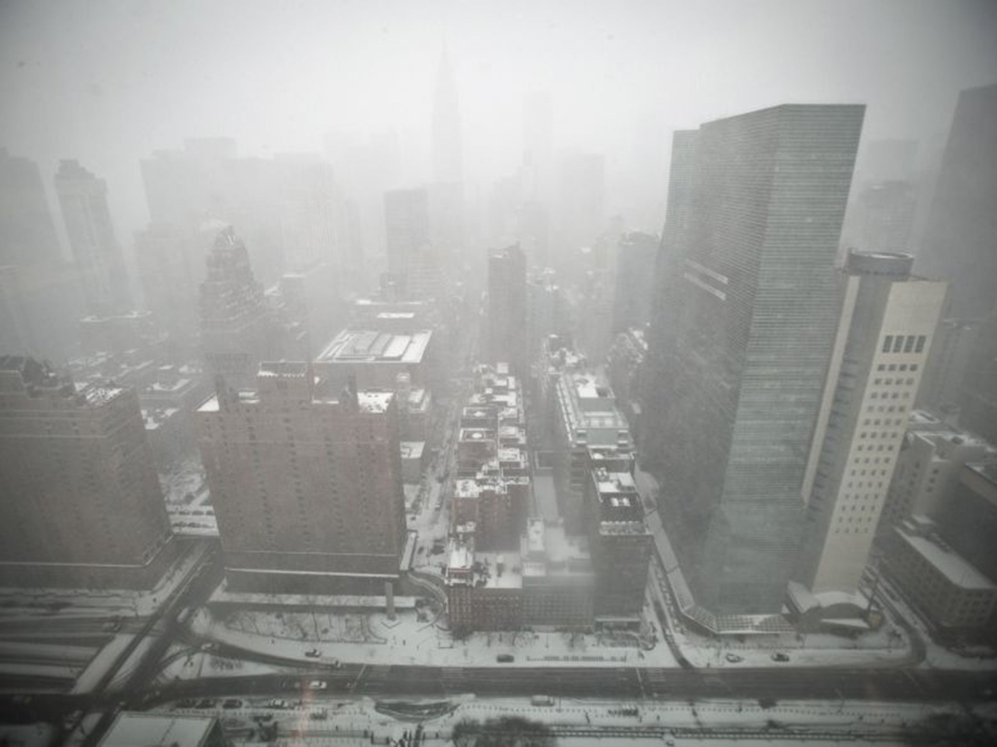
US blizzard: Eastern seaboard snow storm dubbed a 'sleeping giant' to hit New York, Washington and Philadelphia
Heavy snowfall and flooding have been predicted for parts of the north east USA.

The latest headlines from our reporters across the US sent straight to your inbox each weekday
Your briefing on the latest headlines from across the US
A snow storm dubbed a 'sleeping giant' is predicted to hit the north east of the US later this week, possibly including the cities of New York, Washington, Philidelphia and Boston.
As much as two feet of snow could bury parts of the eastern seaboard, potentially shutting down transport and electricity to hundreds of thousands of people.
Two or more feet of snow would put the storm in the top three snowstorms for Washington - the state has not seen a 20-inch or greater snowstorm in nearly 100 years. In 1922, 28 inches of snow fell during the city's largest snowstorm on record.
Further adding to the misery, flooding is also likely in New Jersey, Long Island and southern New England. This is do to forecasted heavy waves and high winds which could lead to to beach erosion, along with high tides.
The weather is likely to be caused by low pressure, currently building up over the northern Pacific, which will push westwards across the country.
The elongated nature of the weather system, stretching across several states, indicates that there is a lot of energy contained in it.
The system is likely to move steadily into the north east, gaining strength, where it is thought it will hit and mix a section of northerly cold air (though it’s not cold air from the Arctic, which usually causes snowstorms in this region).
Temperatures have been far below what is normal for much of the Midwest and eastern United States, the National Weather Service has said.
According to AccuWeather Senior Meteorologist Dave Dombek, "We are just now at the point [of the winter] where the air is cold enough with the ongoing storms to awaken a sleeping giant in terms of a snowstorm."
The snowfall is expected because the storm is expected to “strengthen rapidly, reduce its forward speed and tap plenty of moisture from the Gulf of Mexico and the Atlantic Ocean on its path,” according to AccuWeather.
In addition, there is little question of whether the storm will take place, with Weather.com reporting that “all of the major computer forecast models forecast a strong low-pressure system to develop later this week over the eastern half of the U.S. with most of them taking the center of low pressure on a north easterly track that keeps it south and east of Long Island and the New England coast.”
Americans on Twitter have been voicing their concerns:
However, not everyone is worried:
The Independent will be following the storm's progress.
Subscribe to Independent Premium to bookmark this article
Want to bookmark your favourite articles and stories to read or reference later? Start your Independent Premium subscription today.
Join our commenting forum
Join thought-provoking conversations, follow other Independent readers and see their replies