Heathrow, as you’ve never reached it
Seven adventures in seven days, part three: the Piccadilly Straight Line
Today: what happens when you forsake the Tube for a trans-suburban journey?
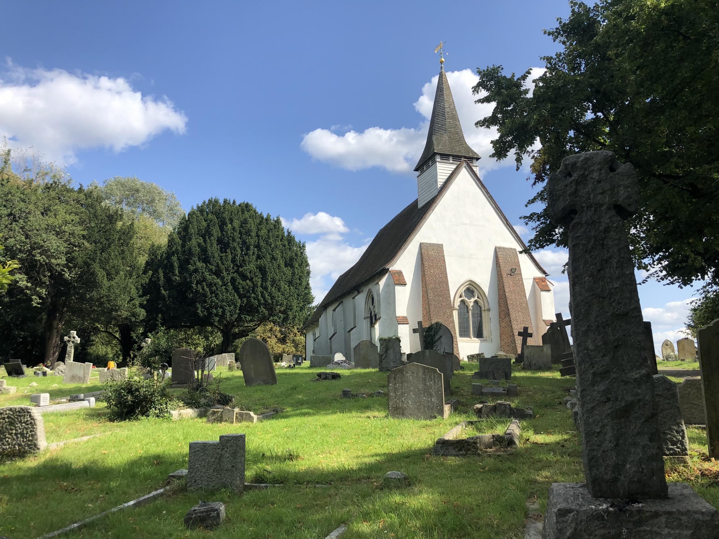
Diagonally opposite Cockfosters station, at the northern end of the Piccadilly Line of the London Underground, a restaurant called Miracles is doing excellent business.
As an unsatisfied customer of long standing of the Tube line to Heathrow, I surmise the restaurant’s name celebrates the rare occasion when the Piccadilly Line actually delivers a swift and regular service to Europe’s busiest airport. Much of the time, in my experience, there can be absurd gaps between trains and frequent stops between stations for no apparent reason.
Today, although I am in Cockfosters and heading for Heathrow, I am not for once pre-disposed to grumpiness. That is because for my latest adventure, I am premiering the Piccadilly Straight Line.
Here’s how it works: take an Ordnance Survey map of west London (Landranger 176 if you’re serious about it); locate Heathrow (easy, that big, bare rectangle tucked in beside the M4 and M25) and Cockfosters (trickier, not least because it is actually further west than central London; look left of Enfield); and draw a straight line between the two points. Then just follow the minor roads, tracks and other low-traffic options to reach the aviation mega-hub.
After you have stood back to admire your handiwork, set about finding the best low-traffic route that sticks closely to the line. But I have done the map- and legwork for you, so just find some comfortable shoes or, better still, a bike, and discover some hidden highlights of the capital.
The first road is cheerfully called Mount Pleasant, and furthermore it is pleasantly downhill. My altimeter (yes, I was serious about this) shows Cockfosters is 320 feet above sea level, while Heathrow is just 72.
You need no miracle to find yourself on the Dollis Valley Greenway, which leads you to Totteridge – whose high-walled houses confirm the district’s popularity with Arsenal and Spurs footballers. “Manor of Totteridge” read the signs as you reach the centre of the first of several authentic villages. Need a drink already? Try the Orange Tree, which features in several footballers’ lives.
In the suburbs of London, joy can yield to despondency quicker than an own goal. Apex Corner, where the A1, A41 and even the M1 converge noisily, was once where motorists tooted farewell to the capital before heading for Hatfield and the North. Now it is an especially bad-tempered junction that looks best in the rear-view mirror.
The Piccadilly Straight Line cuts across transport arteries: ancient, Victorian and modern. Set a course through the backstreets of Edgware and you will soon cross the Watling Street, the arrow-straight Roman road leading northwest. Pleasingly, your track intersects at an exact right angle.
Soon afterwards, a left swerve brings the arch of Wembley into view, but a finer view is to come. Harrow on the Hill is the highest point on the journey, at 460 feet, and from a perch amid the handsome redbrick halls of the public school you can survey the heart of London – even though it feels a world away. Yet Harrow is only runner-up in the rural tranquility stakes.
Northolt is mainly known for its RAF air base. But step away from the manic A40 and you find St Mary’s, “the White Church on the Hill”, standing beside a meadow devoted to wildflowers. Daisies and poppies decorate a location that has been settled for centuries and has now settled on “rural backwater” as its 21st-century role.
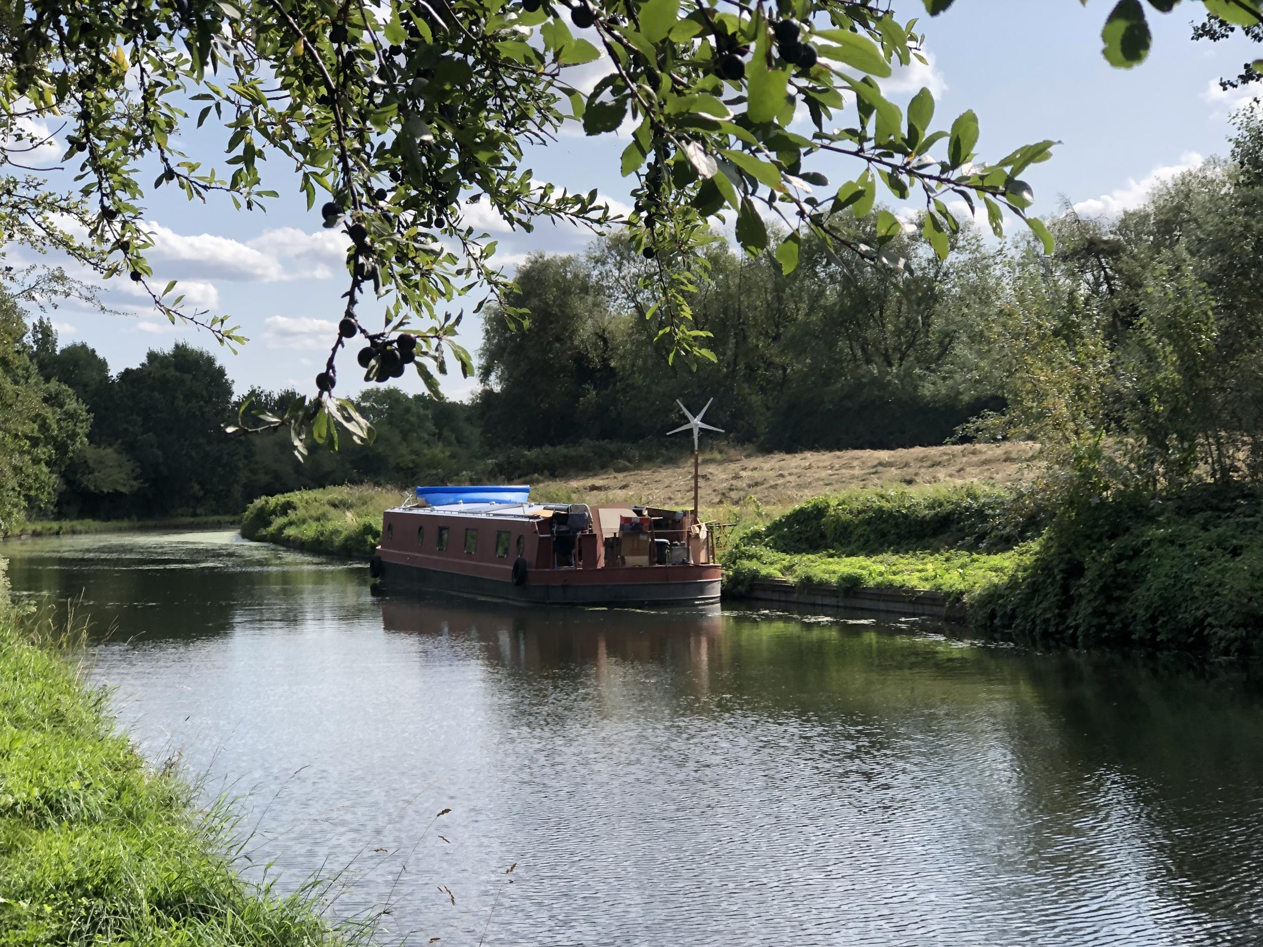
Dive beneath yet another arterial highway and you find an orbital companion to help you on your journey: the Paddington Arm of the Grand Union Canal. It leaves the course of the watery link from the Midlands to the Thames, and arcs around the northwest of London, its course dictated by contours rather than city planners.
For the next four miles you can put away the map and just follow the towpath, glancing in at the domestic bliss of the narrow boats moored alongside and drifting back to 1801, when this London thoroughfare opened.
At Bull’s Bridge, the Arm meets the main canal – which is aiming for the Thames at Brentford. Back into the the 21st century, and the high street of Hayes. But one more historic village remains to be discovered: Harmondsworth, which boasts a medieval barn the size of an aircraft hangar; the plans for Heathrow’s expansion see it preserved rather than changing its use.
On the way to British Airways’ splendid headquarters at Waterside, you will find a memorial to Barnes Wallis, inventor of the Second World War “bouncing bomb”. A few hundred yards from what is now one of the busiest runways in the world, designers tested the weapon on a series of model dams constructed here.
Rather later, BA built its handsome HQ, Waterside, and you are permitted to skirt east of the water and join the Bath Road – the last of the arteries. Heathrow Terminal 5 is just a bounce or two away.
I accept that the chances of you emulating this adventure are vanishingly low. But perhaps you will treat yourself to explore the flower meadow of Northolt, the canalside serenity of the Grand Union – and the Miracles of Cockfosters. Try ordering five loaves and two fishes.
Join our commenting forum
Join thought-provoking conversations, follow other Independent readers and see their replies
Comments
Bookmark popover
Removed from bookmarks