On the Somerset floods, our inbox tells you all you need to know
Three Independent letter writers covered the issue superbly


Sign up for the View from Westminster email for expert analysis straight to your inbox
Get our free View from Westminster email
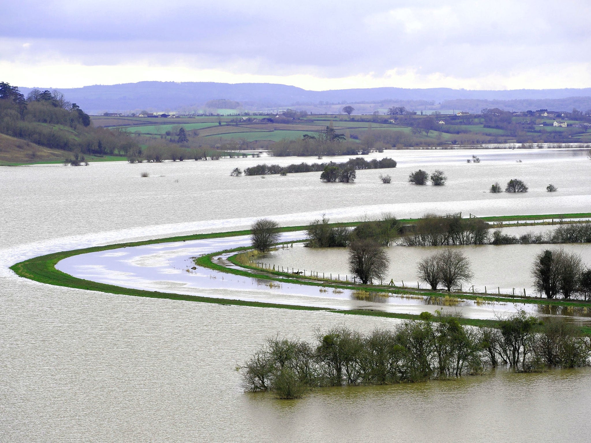
Reading the emails and letters we have published on the flooding of the Somerset Levels has been an eye-opener. Even knowing the origin of local place names is helpful. When I read Frank Donald’s letter telling us that we should not be surprised that the Somerset villages of Muchelney and Thorney have become islands because that is what their Anglo Saxon names mean – “Big Island” and “Thorn Island” – I thought, “Bingo!” That explains a lot. We’ve been defying nature for hundreds of years and nature has just asserted its rights.
Then yesterday Venetia Caine expanded the history that is so necessary to understanding. When the Somerset Levels were in their natural state less than a thousand years ago, they were swampland, frequently flooded not only by rain but by seawater from the Bristol Channel, with people living just on “islands”, pasturing their animals on the low land in the summer if and when it dried out. Indeed, she added, “Somerset” is thought to mean “Land of the summer people”. She went on to recount the hundreds of years that have since been spent trying to push nature back in an inevitably uncoordinated, underfunded way.
Finally Francis Kirkham observed that probably “the most relevant feature of the area has so far has remained unmentioned – that the area of surrounding land draining into the Levels is four times that of the Levels themselves”. This means that above-average rainfall in the surrounding areas has “a disproportionate effect on flood risk on the Levels compared with the East Anglian fens, for example, where the ratio is only two to one”.
I believe I have got it now. These three letters have told me all that I really need to know.
Join our commenting forum
Join thought-provoking conversations, follow other Independent readers and see their replies