Strong wind warning with 55mph gusts, thunder and rain for UK while Europe roasts in 40C heat
Windy forecast comes as the contient faces scorching temperatures of 40C and above
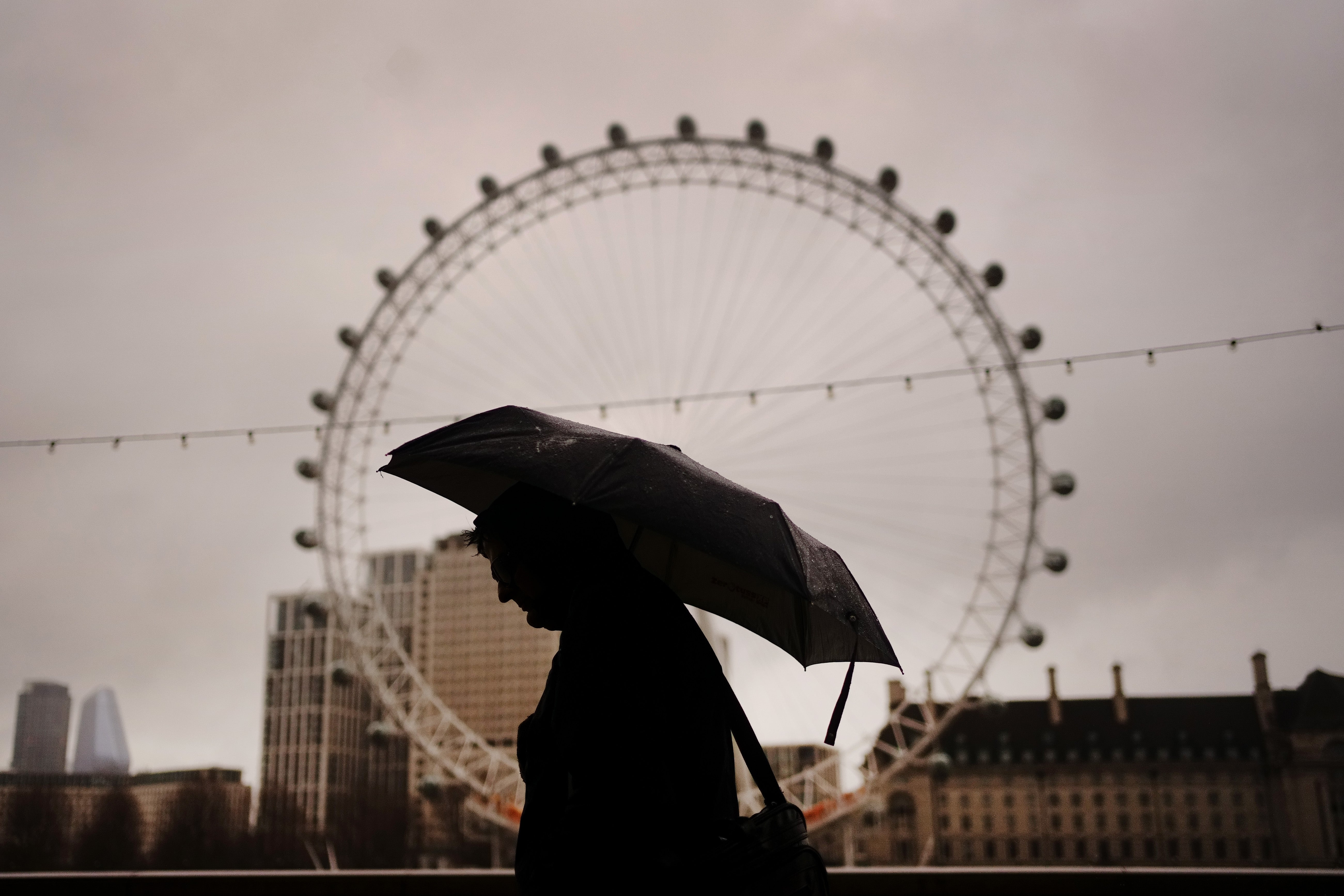
Two days of strong wind warnings have been issued by the Met Office with 55mph gusts set to hit parts of the UK.
The beginning of the weekend will also see showers and a risk of thunder, with the wind picking up from Saturday before calming slightly on Sunday, forecasters say.
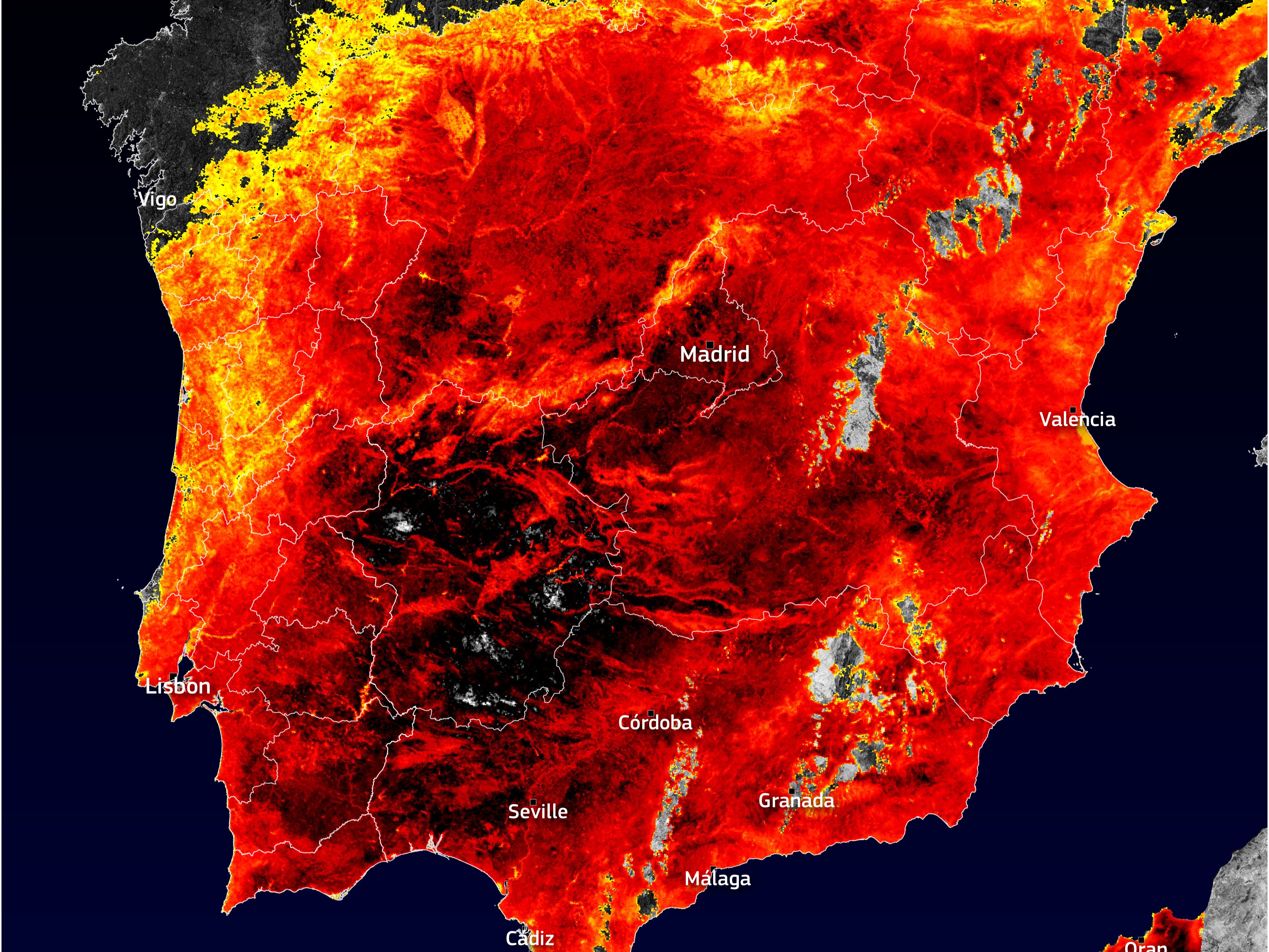
The gloomy forecast comes as countries in Europe face scorching temperatures of 40C and above.
The strongest winds are expected to hit in the south and east of England, with speeds expected to reach 40mph for most, spiking up to 55mph in hilly and coastal areas.
Further south, sunshine and intermittent showers can be expected, with temperatures reaching 20C in London, 17C in Manchester and 15C in Glasgow.
 As heavy rains kill more than 100 in India, what is making south Asia’s monsoons more deadly?
 El Nino is threatening rice crops while grain supplies already are squeezed by the war in Ukraine
 Why UK weather is wet and windy as Europe swelters under Cerberus heatwave
 Met Office: Gale-force gusts could hit parts of England and Wales on Friday
The yellow weather warnings will be in place from 7am until 7pm on Friday and from 9am until 11.59pm on Saturday, with the first stretching across the west from north Wales down to Plymouth. The second will sprawl across the south, south west and east, covering Portsmouth to north of Peterborough.
Yellow warnings are used for an array of weather situations but are typically issued when relatively low level impact – including disruption to travel – is anticipated.
“Strong winds will develop across the South West early on Friday, pushing further north across parts of Wales through the day,” Met Office Chief Meteorologist, Paul Gundersen, said.
“Gusts of 35 to 45 mph are likely quite widely for a time, with gusts over 50 mph affecting some coasts and hills, mainly across Cornwall and west Wales.
“This is an unusual time of year for such strong winds and, with many people on holiday or planning outdoor activities, they are likely to cause some disruption.
“In addition, heavy rain could lead to standing water and spray on roads and consequently difficult driving conditions. Winds are expected to ease through the evening.
“Temperatures are expected to stay near average or rather cool over the coming days especially in the rain and wind.”
The Met Office’s UK five-day forecast:
Thursday: Another day of sunny spells and showers, the showers still locally heavy in the north, though lighter and fewer in number than of late elsewhere. Lighter winds too, so feeling a little warmer when the sun appears.
Thursday evening: Showers easing, allowing clear spells to develop overnight. However, patchy rain affecting Northern Ireland, Wales, Northern England and southern Scotland. Heavier rain with strengthening winds arriving in the southwest later.
Friday: Rather cloudy and showery across Scotland. Wet and windy weather moving north across most other areas, with some heavy rain, though this easing in the southwest later on. Feeling cool.
Saturday to Monday: Unsettled with blustery showers or longer spells of rain on Saturday. Thunderstorms in places too. Strong winds and showers gradually easing during Sunday and Monday. Generally rather cool.
Join our commenting forum
Join thought-provoking conversations, follow other Independent readers and see their replies
Comments
Bookmark popover
Removed from bookmarks