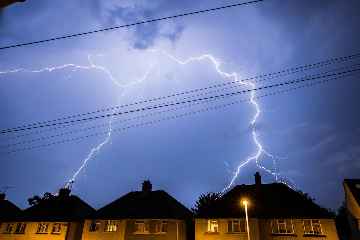
Lightning and hail warning as Met Office predicts when sunny weather will end
Travel warnings have been issued as flooding is set to hit the UK
The sunny weather most of the UK has been enjoying over the last few days is expected to come to a stop over the next 24 hours.
A warning has been issued on flooding and travel disruption as a yellow weather warning was issued by The Met Office.
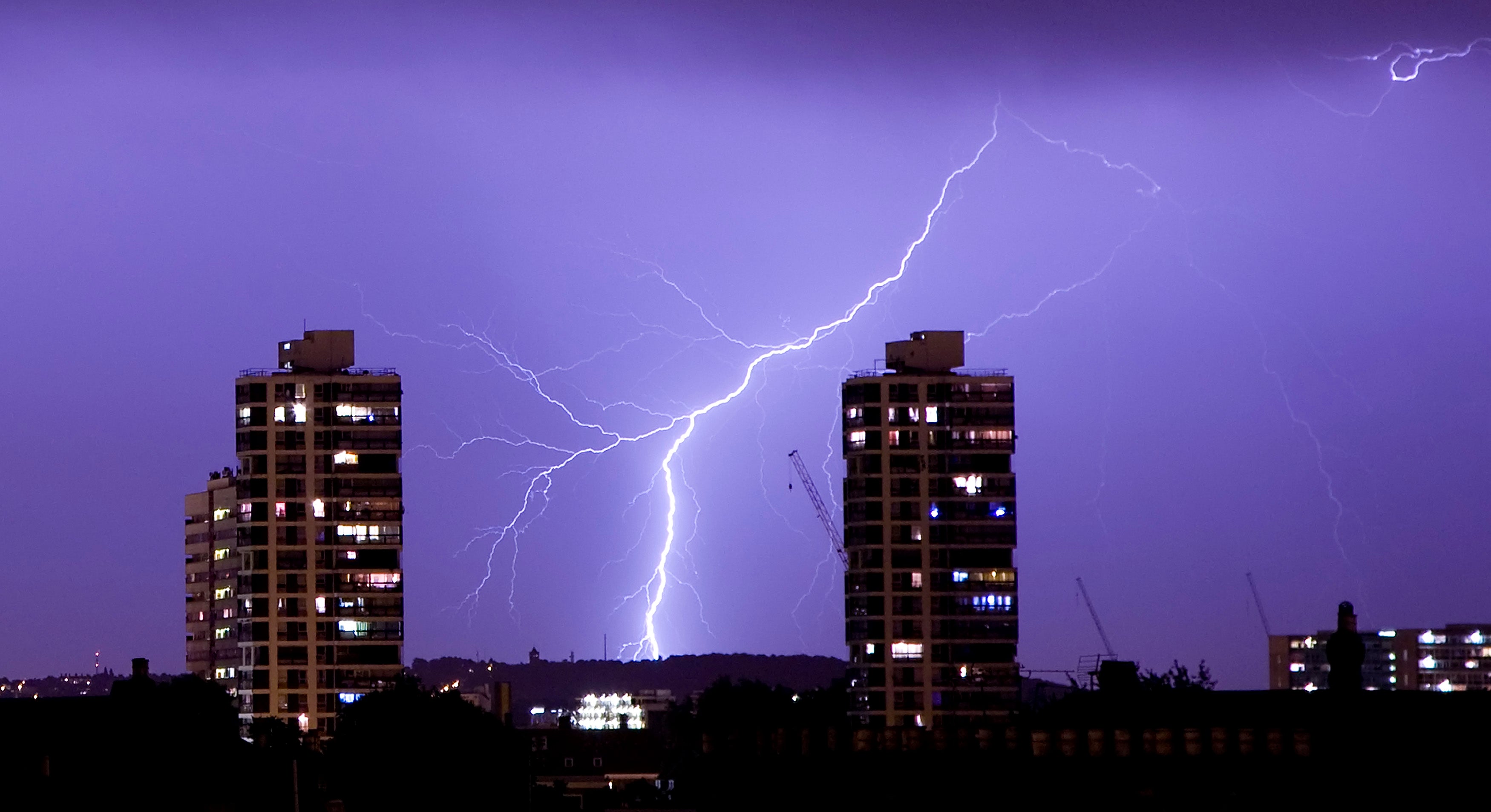
Thunderstorms and rain are set to batter much of England, Wales and Northern Ireland.
The yellow thunderstorm warnings are in place for London and the South East from midday to midnight on Tuesday, and until 9pm for the South West, Wales and Northern Ireland.
The warning for rain covers the Midlands and north of England starting at 12.15am on Wednesday and lasting until 6am on Thursday with a further warning put in place for rain in eastern and southern Scotland running from 12pm on Wednesday until 6pm on Thursday.
Frequent lightning strikes and hail may also be seen, the Met Office’s yellow thunderstorm warnings said.
A Met Office spokeswoman said: “There are lots of warnings going on, with thunderstorms moving into rain warnings.
“There are large rain warnings covering quite a large area of central and northern England, Scotland and Wales for Wednesday and Thursday.
“This is because there is an area of low pressure approaching the UK from the east.
“The precise track of the low pressure which would determine where the rainfall comes is still uncertain at the moment and is something we are keeping an eye on.
“We would encourage people to keep an eye on the forecast over the next couple of days to see how that evolves.”
Chief meteorologist Andy Page said: “The area of low pressure developing in the southern North Sea will push a band of heavy rain north and west across the UK.
“Areas exposed to the strengthening northerly winds are most likely to see the highest rainfall amounts, though exact details regarding the track of the low and thus where we might see the highest rainfall totals remains uncertain.
“Warnings are likely to be updated as more details emerge, and it is important therefore, that people keep an eye on the forecast.”
The thunderstorm warning for London and the South East states that there are likely to be slow-moving heavy showers with thunderstorms featuring hail and lightning which should ease away by Tuesday evening.
The Met Office has said places could see 30-40mm of rain, with a few areas receiving 60-80mm with a small chance of some areas receiving 150mm.