UK weather: Sunny spells and 25C high while storm conditions hit parts of Britain
‘Unsettled weather’ will hit Britain as autumnal conditions move in, the Met Office warned
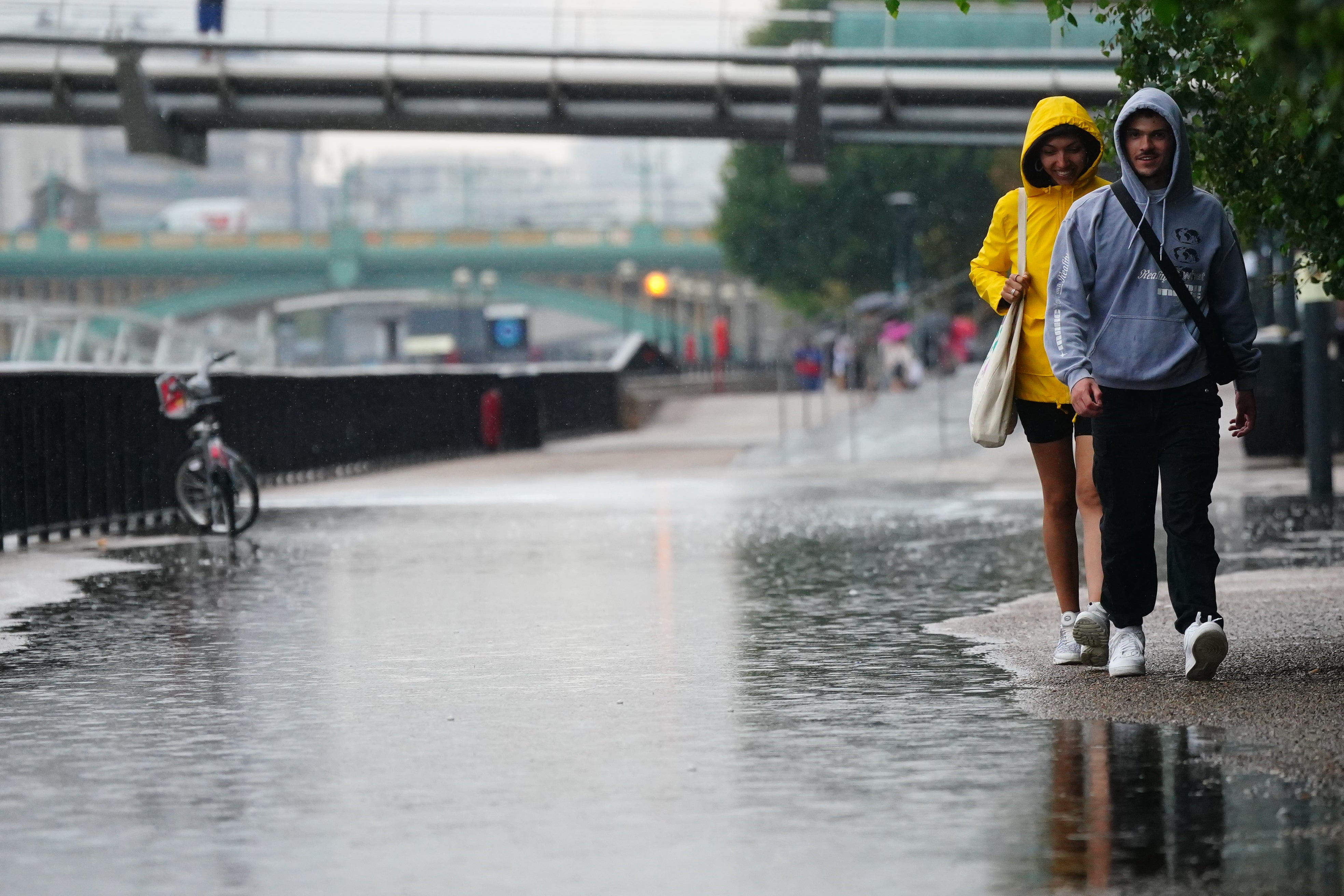
The UK is set to face a mix of sunny spells with highs of 25C as stormy conditions also continue to hit parts of the country.
The warmer weather comes after a yellow weather warning for thunderstorms expired at 6am on Tuesday.
However, the Met Office has warned of incoming “unsettled weather” as autumnal conditions move in this week due to an area of low pressure causing heavy rainfall and thunder.
After a summer of historically low rainfall in parts of southern England, the wetter weather will bring a much-needed change in conditions.
According to Met Office forecaster Greg Dewhurst, the low pressure will bring days of heavy rain in the coming days possibly stretching into the weekend but Hurricane Danielle - which will no longer be a hurricane when it reaches the UK - is causing uncertainty in forecasting going into next week.
“An area of low pressure is expected to stay around for much of this week, swirling around bringing bands of heavy rain across the UK, some brisk winds too. This only slowly makes its way eastwards as we move through the week. Perhaps something drier across the UK as we reach the weekend,” he said.


After the showers early on Tuesday there are some clear skies but also the risk of further showers.
“A warm muggy start to Tuesday, plenty of sunny spells but already the few showers around northern parts of England, southern Scotland continuing to push their way northwards turning heavy in the afternoon, with rumbles of thunder,” Mr Dewhurst added.
“Further heavy showers pushing northwards across the rest of the UK, some rumbles of thunder, some hail, some gusty winds in there too and the risk of some flooding.
“But there will be some sunny spells in between and where we get the sunshine, temperatures lifting into the low 20Cs, still towards the mid-20Cs across the south east so temperatures well above the average for early September.”
In the Met Office’s latest forecast for the week ahead, meteorologist Alex Deakin, said: “We often have one area of high pressure controlling our weather, we've certainly seen that a lot through the summer. But one area of low pressure controlling things for a number of days is fairly unusual.”
Looking further ahead to the weekend, there are signs that an area of high pressure could form, allowing the weather to settle down. From Sunday onwards, however, there is significant uncertainty in the forecast.
“At the moment Saturday looks like being a largely dry day across the UK. Still a few showers here and there but turning drier,” Mr Deakin said
“However, there's another area of low pressure which is gaining quite a bit of attention. This one is bringing quite a bit of uncertainty into the forecast. It's Hurricane Danielle in the subtropics now, as it drifts northwards it will no longer be a hurricane. But when you've got these highly energetic systems, it does make the forecast more complicated. It brings with it more uncertainty.”
UK forecast for the next 5 days
Today:
Cloudy and wet for northeast Scotland otherwise many places dry to start but showers breaking out widely by day- locally heavy with thunderstorms possible. Breezy around western coasts and windy in northeast Scotland as well as gusty around any showers.
Tonight:
Areas of rain or showers continuing over many parts- central northern England becoming drier overnight whilst northeast Scotland perhaps seeing more persistent rainfall. Staying breezing in the southwest and northeast.
Wednesday
Areas of rain or showers with some thunder continuing over many places though a fine start for central and northern England. Staying breezing in the southwest and northeast.
Outlook Thursday to Saturday
Unsettled. Showers for most, locally heavy with thunder, brighter spells between, perhaps drier in the West on Friday. Windy at times around coasts. Daytime temperatures near normal, with warm nights.
Join our commenting forum
Join thought-provoking conversations, follow other Independent readers and see their replies
Comments
Bookmark popover
Removed from bookmarks