UK weather: What is Storm Rachel? And can we expect thundersnow?
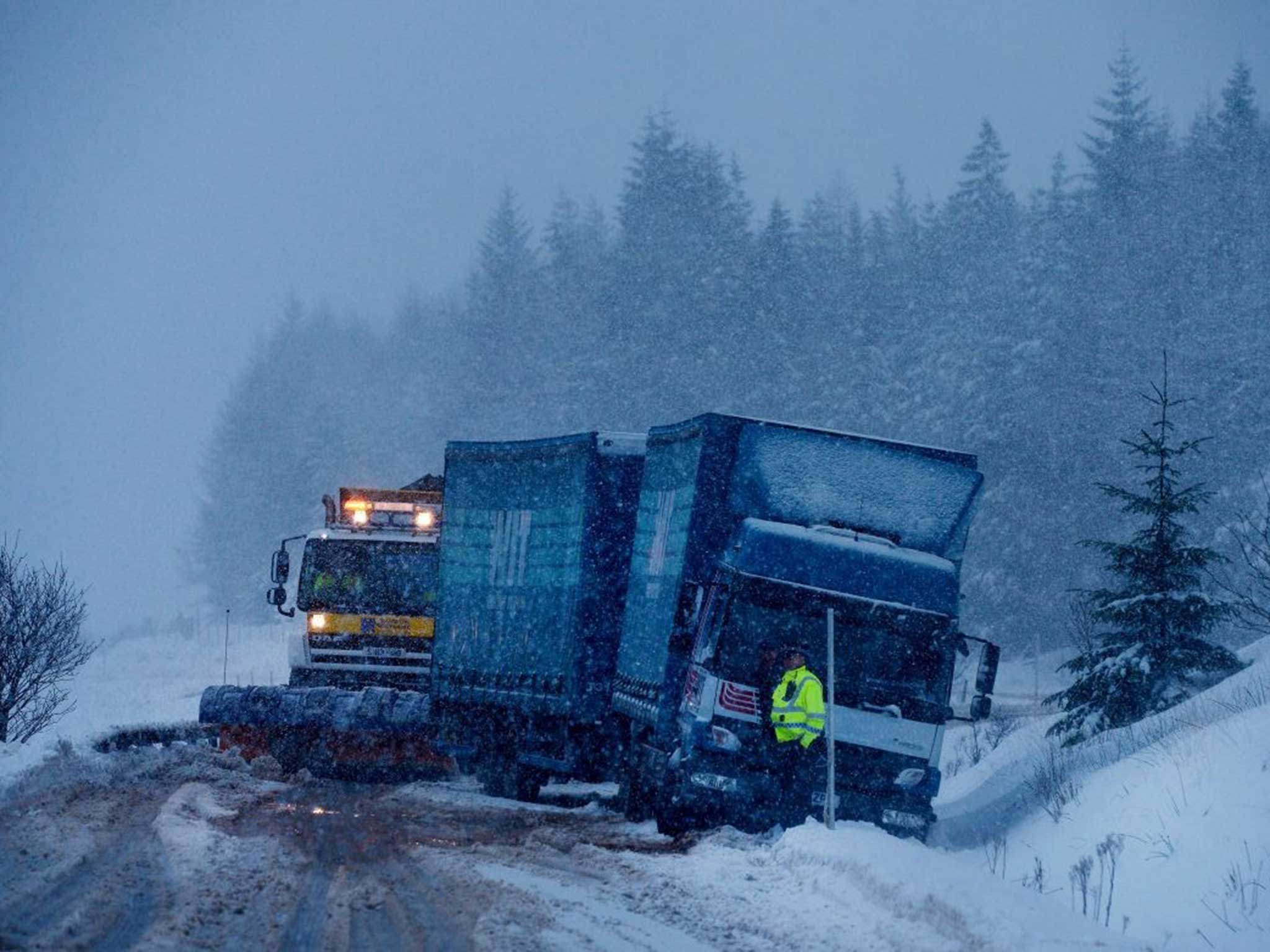
Much of the UK has suffered under strong winds over the past week - with Scotland bearing the brunt of the weather misery

For free real time breaking news alerts sent straight to your inbox sign up to our breaking news emails
Sign up to our free breaking news emails
The UK is bracing itself for the next bout of bad weather as gale force winds continue to buffet parts of the country as colder weather arrives.
Forecasters are predicting freezing low temperatures of -6C in parts of Scotland on Monday, with the Met Office issuing yellow, “be aware”, warnings for snow across Scotland, Northern Ireland and northern England over the weekend.
But the wintery weather is not too unusual for this time of year a Met Office spokesperson told The Independent, continuing that the weather pattern – dubbed Storm Rachel – was a “standard winter storm” that would blow itself out by the end of today.
Where did it start?
Triggered by a deepening low pressure system the storm originated off the eastern side of north America, gathering steam as it moved across the Atlantic interacting with jet streams, causing it to deepen further as it approached the UK, reaching our western shores early last night.
Despite some strong winds, the weather is only a “mid-latitude storm” and definitely not a cyclone, the Met spokesperson said.
What conditions has it caused?
Cairngorms and Ben Nevis have both reported gale-force gusts over 115mph today, while Wales has seen gusts of 96mph at Capel Curig (at 216m) and England’s Dunn Fell recorded wind speeds over 100mph, according to the UK Weather Channel.
But while confirming these wind speeds a Met spokesperson stressed that although strong, these gusts were to be expected in high and exposed locations and were not necessarily indicative of wind strengths over the entire country.
The winds (and Storm Rachel) are expected to move north over the tip of Scotland later this evening and take the gusts with them, but a new air movement will see winds moving south.
The Met spokesperson explained: “The UK sits on the cusp of the cold polar air to the north and warmer southern air, but – put simply – depending which direction the air is moving from on a wide atmospheric scale greatly affects our weather. Generally we pull air in from the north-west, giving us colder, blustery winter weather around this time of year.”
UK winter weather
Show all 30The winds will move south to northern England, Northern Ireland and Wales – bringing with them heavy rain turning to snow as temperatures drop overnight.
“It will get colder across the UK, with Saturday to Sunday seeing temperatures drop to -5 or -6C in some places. Monday night will be even colder with -6C expected in Braemar, in Aberdeen.”
But could we see some thundersnow, and what is it?
A thundersnow is the same as a thunderstorm, except snow falls instead of rain. It occurs when the atmosphere is unstable and the layer of air closest to the ground is cold enough to create snow but still warmer than the air above it.
Read more: Warnings issued for snow, ice, gales and flooding
Snow, ice and 70mph gale force winds expected
Severe storms leave thousands without power
Glasgow experienced a thundersnow in February 2013 but the BBC said there is a chance we might see similar conditions again over the coming weekend.
If the conditions are right the experience can be beautiful, as the lightning reflected by the snow appears much brighter than when in a ‘normal’ electrical storm.
Subscribe to Independent Premium to bookmark this article
Want to bookmark your favourite articles and stories to read or reference later? Start your Independent Premium subscription today.
Join our commenting forum
Join thought-provoking conversations, follow other Independent readers and see their replies