UK weather: Snow to hit London and southeast this weekend as temperatures plunge below freezing
Drivers and rail passengers in southeast England could face disruption
Snow and ice are forecast to hit London and southeast England this weekend, causing disruption for drivers and rail passengers.
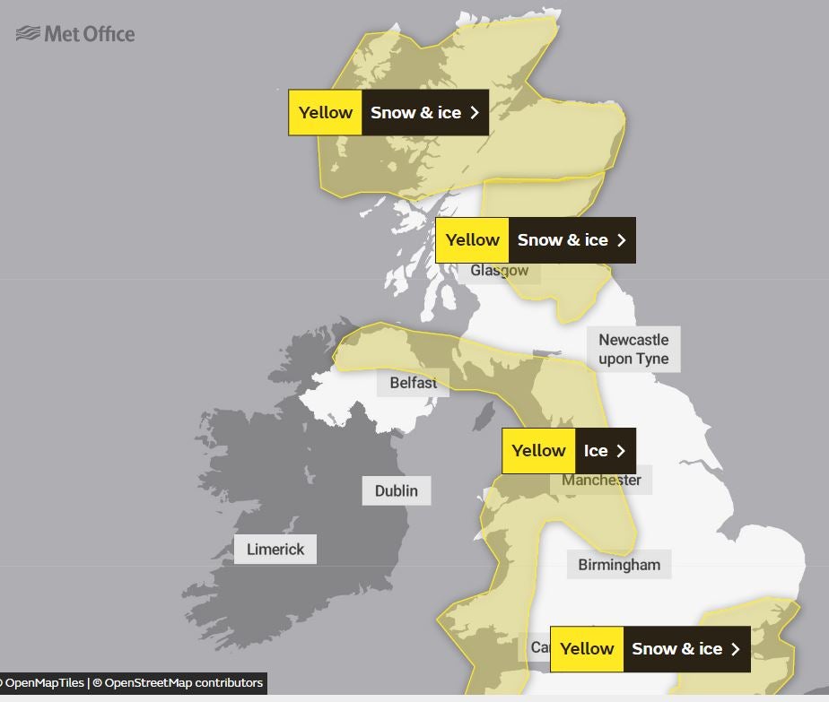
For Sunday, Met Office experts have issued a yellow warning – the third-highest – for the UK areas usually the least affected by freezing temperatures.
They said snow may fall across parts of east and southeast England, leading to a risk of travel disruption, especially on Monday morning. Mobile phone coverage could even suffer, forecasters warned.
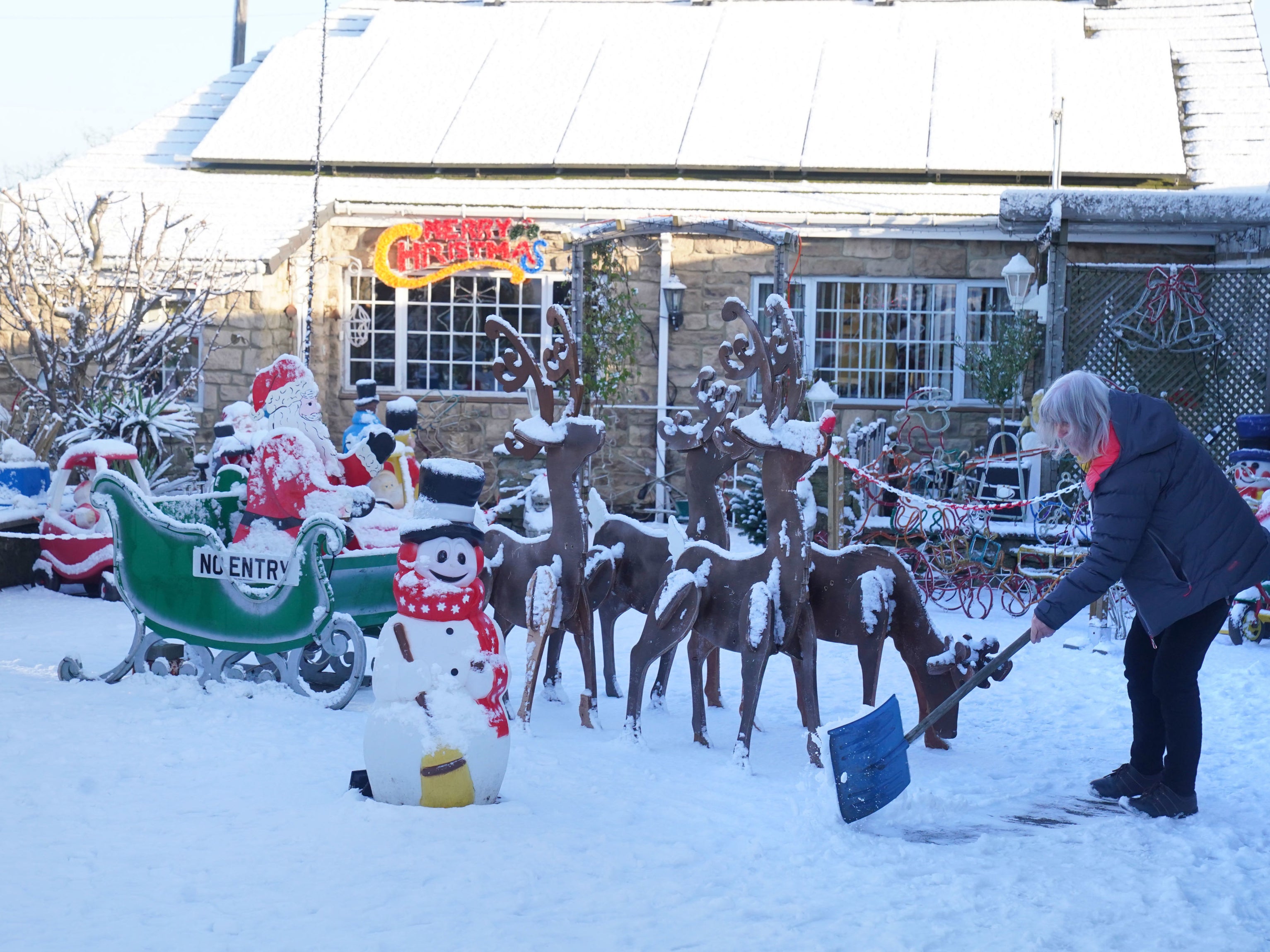
The UK woke up to bitterly cold weather on Friday, with temperatures as low as -8C overnight.
More cold weather is expected at the weekend, with the thermometer expected to hover just above freezing on Saturday before plummeting again, and snow and ice warnings remaining in place across the UK.


Forecasters said snow and ice would make travelling difficult across central and southern Scotland during Saturday evening, overnight and into Sunday morning.
In southeastern England on Sunday, the Met Office is warning of a small chance of travel delays on roads, with some stranded vehicles and passengers, along with delayed or cancelled rail and air travel.

“There is a slight chance that some rural communities could become cut off,” the forecaster warned.
“There is a small chance that power cuts will occur and other services, such as mobile phone coverage, may be affected.”
They also warned of injuries from slips and falls on icy surfaces, and the risk that untreated pavements and cycle paths could become impassable.
Schools were forced to close in Scotland on Friday after temperatures of around -8C and -9C were recorded in countryside areas overnight on Thursday into Friday.
Southeast England suffered the worst of the record-breaking heatwave in the summer.

MET OFFICE OUTLOOK
Friday evening and tonight:
Wintry showers continuing around exposed coasts, with some further accumulations on hills and the risk of icy surfaces. Clear spells elsewhere and a widespread frost, severe in some areas. Some freezing fog forming in places.
Saturday:
Cold with widespread frost and some freezing fog patches at first, slow to clear in places and quick to reform later. Wintry showers again for exposed coasts. Winds mostly light.
Outlook for Sunday to Tuesday:
Continuing cold, with sunny spells and wintry showers, mainly near coasts. Sharp overnight frosts and freezing fog patches. Winds starting light but strengthening through Monday and feeling very cold.
Join our commenting forum
Join thought-provoking conversations, follow other Independent readers and see their replies
Comments
Bookmark popover
Removed from bookmarks