Why is it so cold in the UK right now? Snow, ice and Arctic air explained
The last time temperatures dropped this low was in January 2010
The UK is experiencing some of the coldest temperatures in 14 years this week.
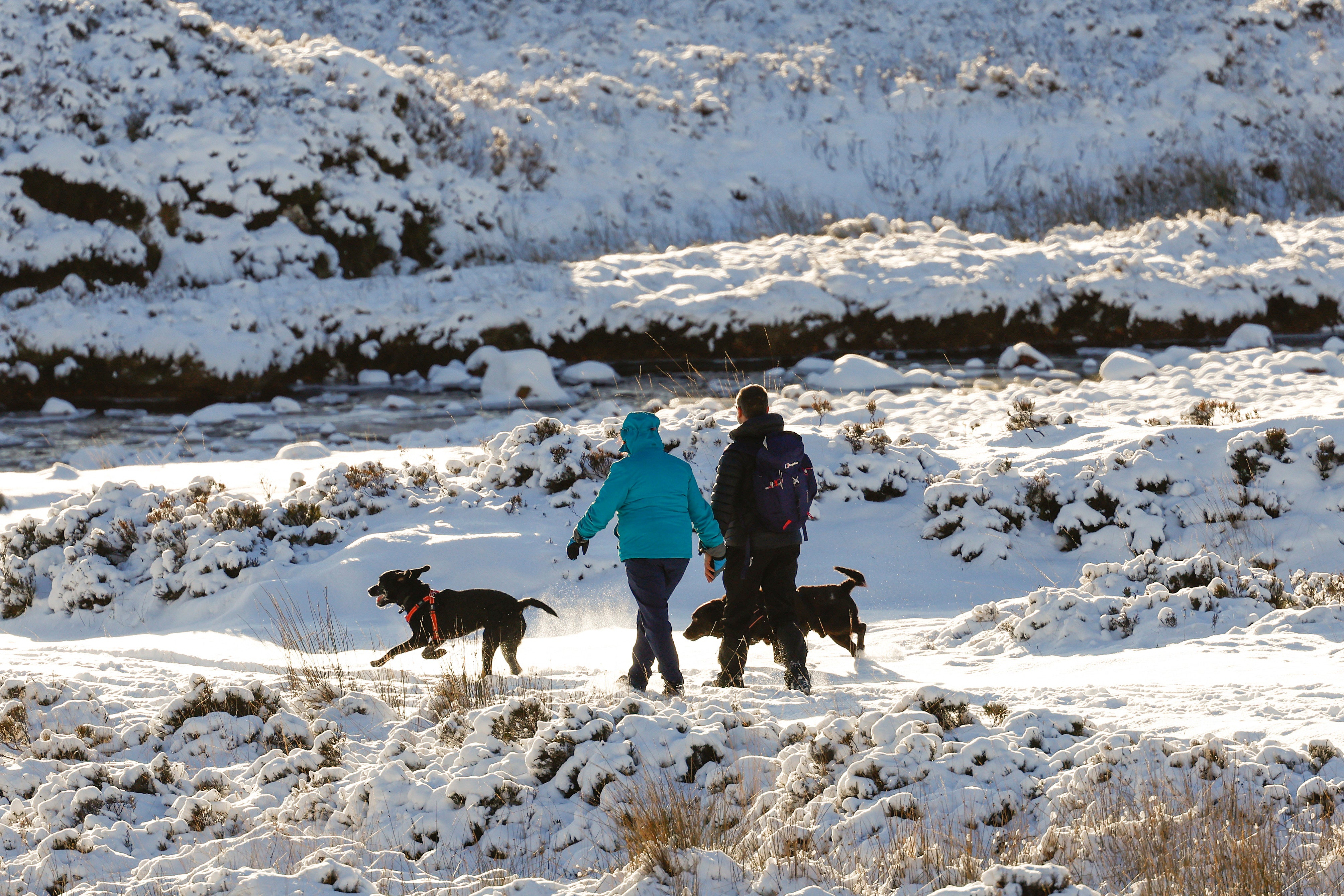
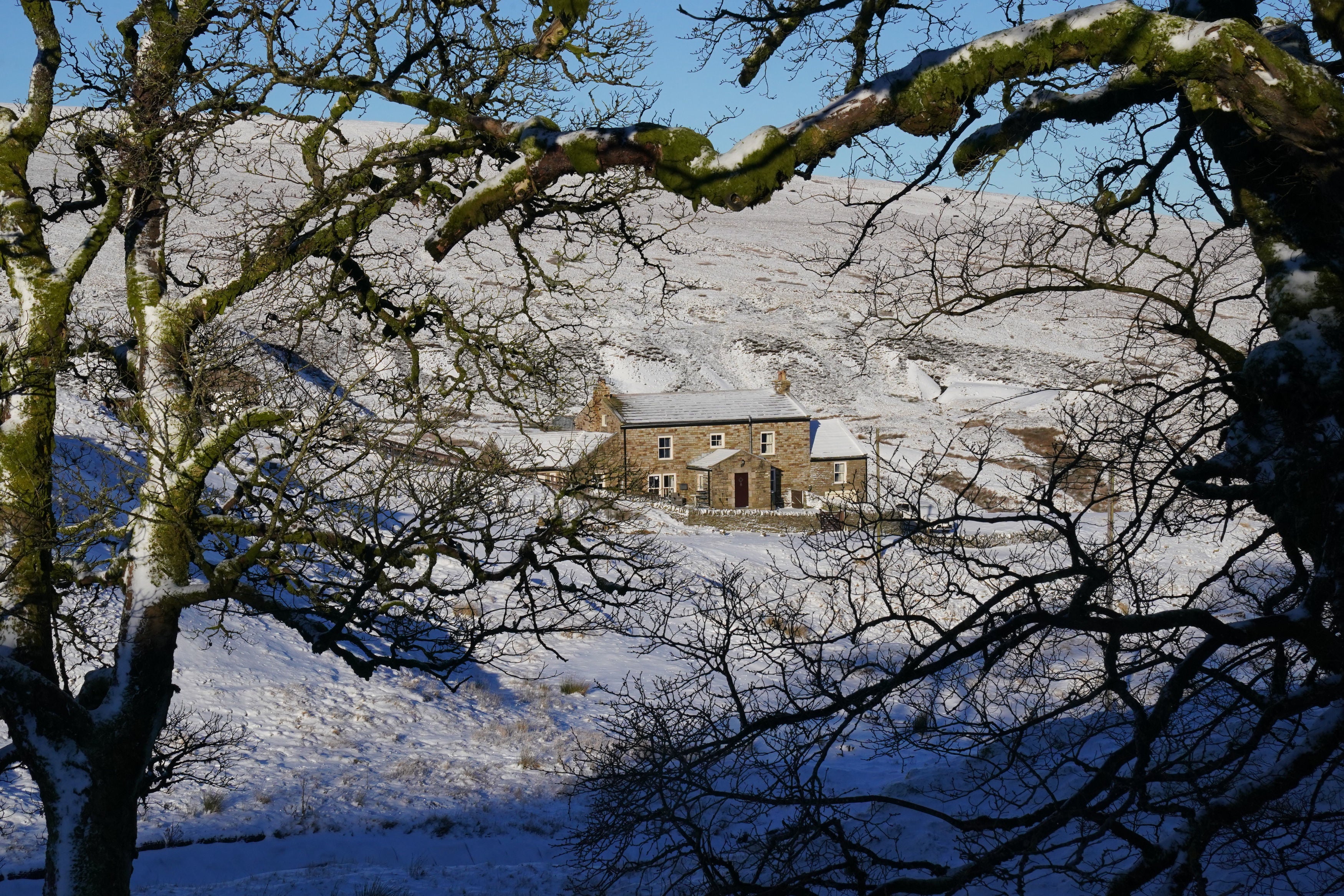
Freezing temperatures and snow will continue to blanket much of Britain this week, as snow-covered parts of Scotland could reach minus 15C.
The last time temperatures dropped that low was in January 2010, when minus 22.3C was recorded in Altnaharra, Scotland.
Yellow weather warnings of snow and ice have been updated, with much of Scotland, northern England, parts of Wales and Northern Ireland covered on Wednesday, and southern and central Scotland affected by an ice warning.
Why is it so cold?
A “cold plunge of Arctic air” has moved south across the whole country over the past few days, making it 5C to 6C lower than usual for this time of year, the Met Office said.
This stream of cold air straight from the Arctic is causing havoc and misery across the UK.
There is a hot and cold side to the stream and a narrow ban of air is flowing quickly at high altitudes with the UK on the northern, cool side.
The low temperatures are also due to how long the cold snap has lasted, according to the Met Office.
A build-up of snow allows for temperatures to get progressively colder, and the UK doesn’t often see cold spells lasting three to five days.
It will continue to stay cold until Friday, and over the weekend there will be some deep areas of low pressure coming in, leading to some stormy conditions by the end of the week.
The weather has also been affected by El Niño, which is the warming of sea surface temperature. This phenomena occurs every three to four years.
What is El Niño?
The name ‘El Niño’ is widely used to describe the warming of sea surface temperature that occurs every few years, most typically concentrated in the central-east equatorial Pacific.
An El Niño event is declared when sea temperatures in the tropics of the eastern Pacific rise 0.5C.
While the event originates in the Pacific, Met Office research shows the El Niño cycle impacts weather globally.
In the UK, El Niño years are one factor that can increase the risk of colder winters, as it has this year.
The El Niño name is thought to originate from “El Niño de Navidad“ centuries ago when Peruvian fishermen named the weather phenomenon after the newborn Christ.
How long will the ‘cold plunge’ last?
On Thursday parts of western and northern Scotland, north-east and eastern England, Wales and Northern Ireland are affected by a snow and ice warning.
Freezing temperatures and snow will continue for much of Britain this week due to a blast of Arctic air, before “potentially disruptive” stormy weather lands over the weekend.
The weather is forecast to turn stormy on Sunday.
The weekend will be milder, but westerly weather will bring wind and rain – and the potential for more weather warnings as the snow melts.
Join our commenting forum
Join thought-provoking conversations, follow other Independent readers and see their replies
Comments
Bookmark popover
Removed from bookmarks