UK weather: Met Office reveals exact date temperatures are set to hit 27C
Meteorologists watch for El Nino event that could potentially herald a heatwave like last year’s

The UK is bracing itself for the hottest day of the year, with temperatures forecast to hit 26C or 27C on Thursday.
Until now, the warmest the country has experienced is 25.1C, recorded in Porthmadog, north Wales, last Tuesday.
The highest temperature recorded on Sunday was again in Porthmadog, where it hit 25C, while Castlederg, Northern Ireland, enjoyed 24.5C, Bournemouth recorded 24.2C and Glasgow hit a high of 24.1C for Scotland.
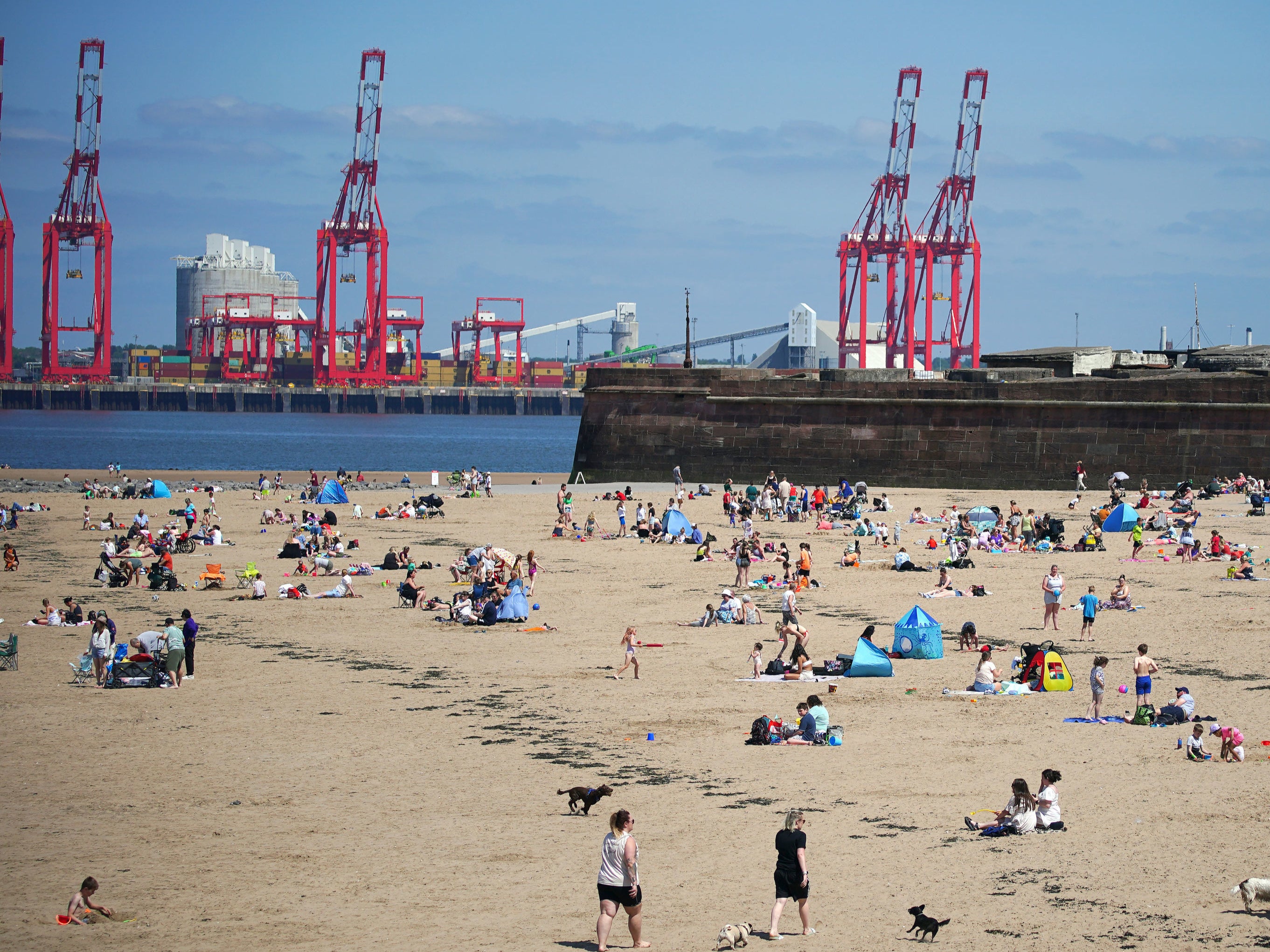
Beaches around the UK were crowded with sun-worshippers over the sunny weekend.
The Met Office said this week will again bring plenty of sunshine to the country, with the warmest weather still expected in the west.


On Monday, central and eastern areas will experience a cloudy start. Clouds will gradually dissipate towards the east, making way for the sun. The far southeast will experience breezy conditions.
As night falls, low clouds will extend from the north and east towards the west. Some patchy drizzle is expected on upslopes, while clear spells in other areas will lead to chilly temperatures for early June.
Moving on to Tuesday, the weather can take a slightly chilly turn. While cloud cover will slowly retreat to the east, some areas may remain overcast and chilly for longer periods.
The west, however, will once again enjoy the best of the sunshine, with warm temperatures expected.
The rest of the week is expected to remain settled and warm as temperatures are expected to climb higher than the previous week.
Temperatures are expected to rise further this week in Wales and southwest England, which could experience 26C or 27C on Thursday, according to the Met Office.
However, there could be showers in the south of England towards the end of the week.
“There will be lots of dry weather, with the sunnier skies always in the west and cloudier in the east,” said Greg Dewhurst of the Met Office.
“Temperatures are going to be similar, if not a little bit higher, towards the end of the week. This west-east split will be continuing with temperatures as well.”
In western parts of the UK, temperatures will rise to around the mid-20s, while mid- to high teens are more likely on the eastern side of the UK, he said.
But the southwest may become windier towards the end of the week.
Meteorologists are watching out for the onset of an El Nino event, with speculation that the country can experience hotter than usual temperatures once again. Last year, the UK suffered record temperatures that went up to 40.3C.
El Nino, the climate phenomenon characterised by warm ocean temperatures in the equatorial Pacific, is expected to bring significant impacts worldwide, including hotter conditions, droughts and floods in some parts.
In a report last month, the World Meteorological Organisation warned that the world could see global average temperatures rising above 1.5C in the next five years due to El Nino and increasing human-induced global heating.
The Met Office and health chiefs have created a new colour-coded heatwave alert system in England in preparation for longer and worse heat, and its effect on people’s health.


In the coming two weeks, temperatures will be “generally near to above average”, but in the second half of the month, they will be “widely above average, perhaps significantly so”, according to Met Office forecasters.
There will be a risk of occasional heavy rain or thunderstorms in the south but with plenty of dry and warm weather in between.
Join our commenting forum
Join thought-provoking conversations, follow other Independent readers and see their replies
Comments
Bookmark popover
Removed from bookmarks