Met Office forecast: Floods spark major incident as snow and -7.1C freeze hits UK
Weather warnings are in place as more snow and ice expected in cold snap
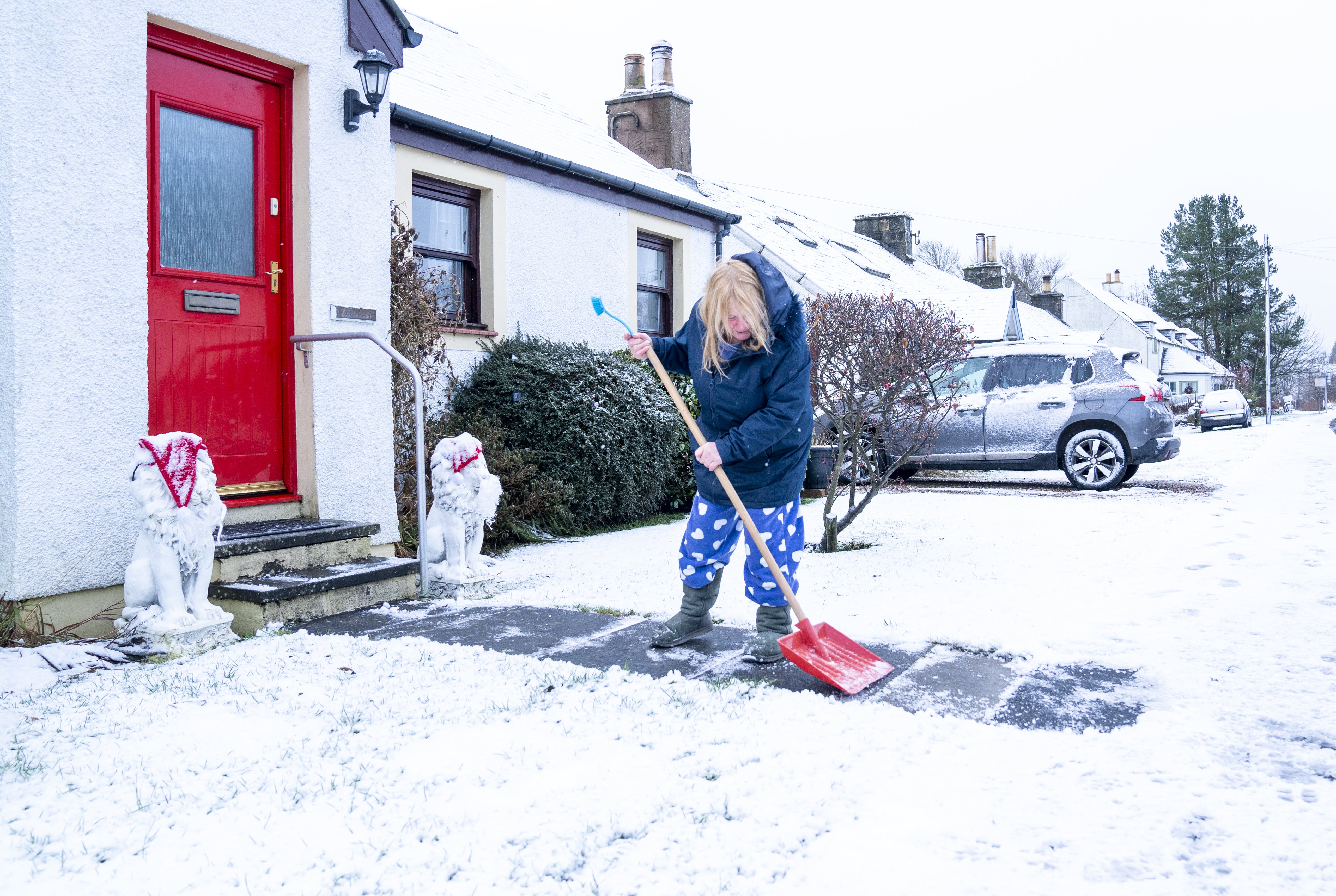
A major incident has been declared in Somerset due to the risk of flooding, while yellow weather warnings for snow and ice have been issued across the UK.
The Environment Agency announced the move as it responded to flooding incidents in Somerset, flood risk in the Bristol Avon area and monitored rising groundwater levels in Dorset.
Three additional pumps began working at Northmoor pumping station on Tuesday evening to reduce the amount of water being stored until river levels allow pumping to resume at Currymoor, which remains full.
Snow and ice warnings are in force for parts of South West England, Wales, North West England, Northern Ireland and northern Scotland and the Highlands. The lowest temperature recorded last night in the UK was minus 7.1C in Benson, Oxfordshire.
Forecasters have warned that travel could be disrupted in some of the affected areas. “Some roads and railways affected with longer journey times by road, bus and train services,” the Met Office says.


Icy conditions to affect Monday morning commuters
Drivers have been warned to leave extra time for their Monday morning commute due to icy roads during rush hour, following a weekend of wintry weather.
The Met Office has issued a yellow alert until 10am and warned of icy surfaces across Northern Ireland, southwest Scotland, northern England, northern Wales and northern Midlands.
Read more:

Icy conditions to affect Monday morning commuters during rush hour
Weather outlook for Monday
Forecasters say it will be a very cold night, with a chance of wintry showers in northern Scotland and South West England.
Elsewhere it will be mostly clear with some scattered cloud for a time. There will be light winds across the country.
Temperatures are expected to plunge as low as -10C overnight.
Temperature could dip as low as -2C overnight in London
Temperatures in London could dip as low as -2C overnight, according to the Met Office.
The mercury will hover around 5C for much of the day before dipping in the evening.
Snow and ice warnings remain in place for large parts of the country on Monday, with temperatures as low as -10C in the most remote parts of Scotland.
Four weather warnings in place for Monday
Four weather warnings for snow and ice are in place for the UK on Monday, covering Northern Ireland, North West England, Scotland’s central belt and the Highlands.
In the areas covered, people are being warned there is a chance of travel disruption. Some roads and railways could be affected, with the potential for longer journey times.
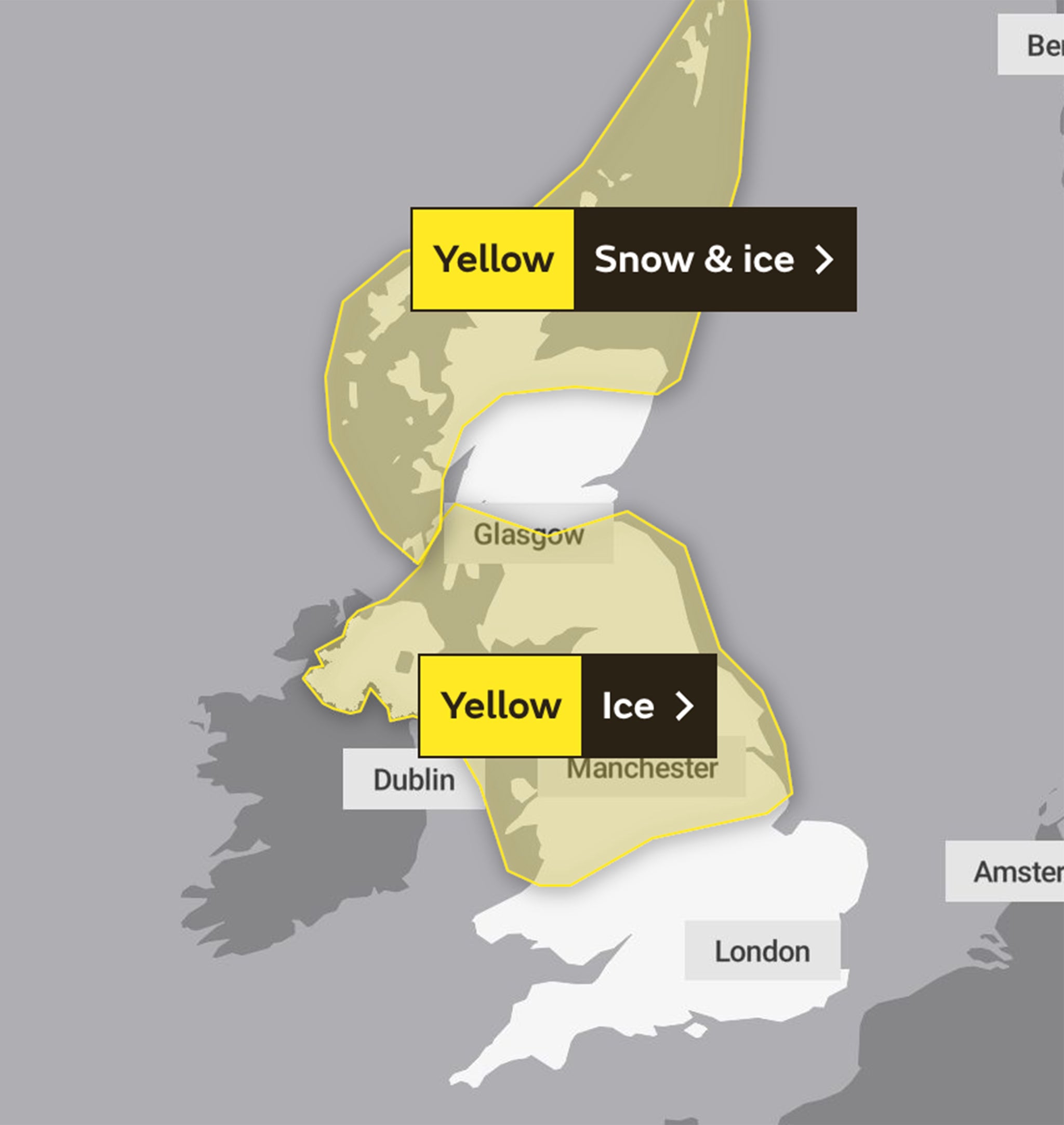
The Met also warns “some injuries” are possible from slips and falls on icy surfaces. There will probably be “some icy patches on some untreated roads, pavements and cycle paths.”
Weather warnings are also in place for Tuesday and Wednesday, the Met Office says.
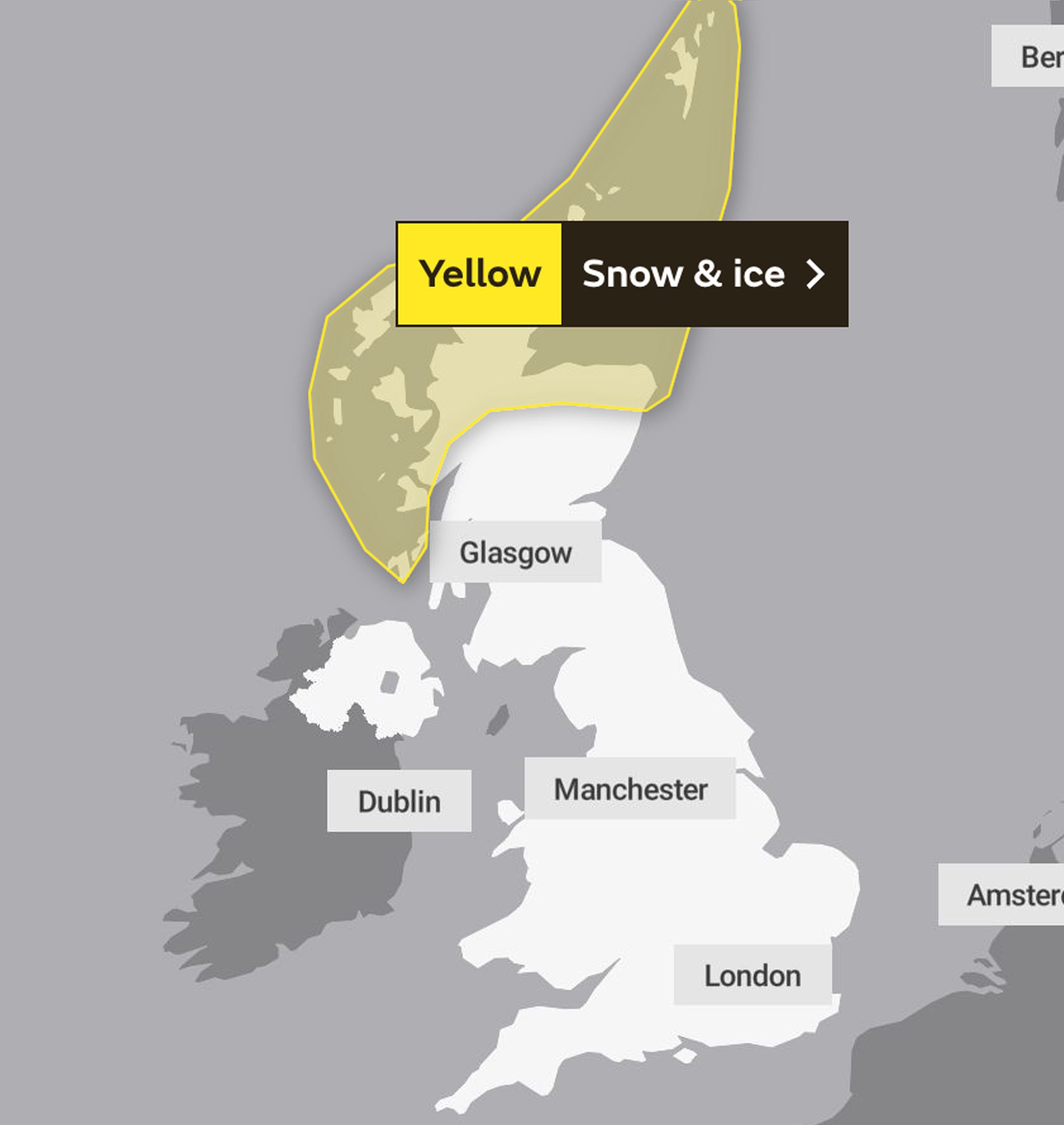
Broad outlook for Tuesday
Tomorrow will be a clear and dry day for England, with heavier cloud in Scotland.
It will be mostly dry across the country with wintry showers possible in northern Scotland.
It will feel cold for all, despite there being light winds.
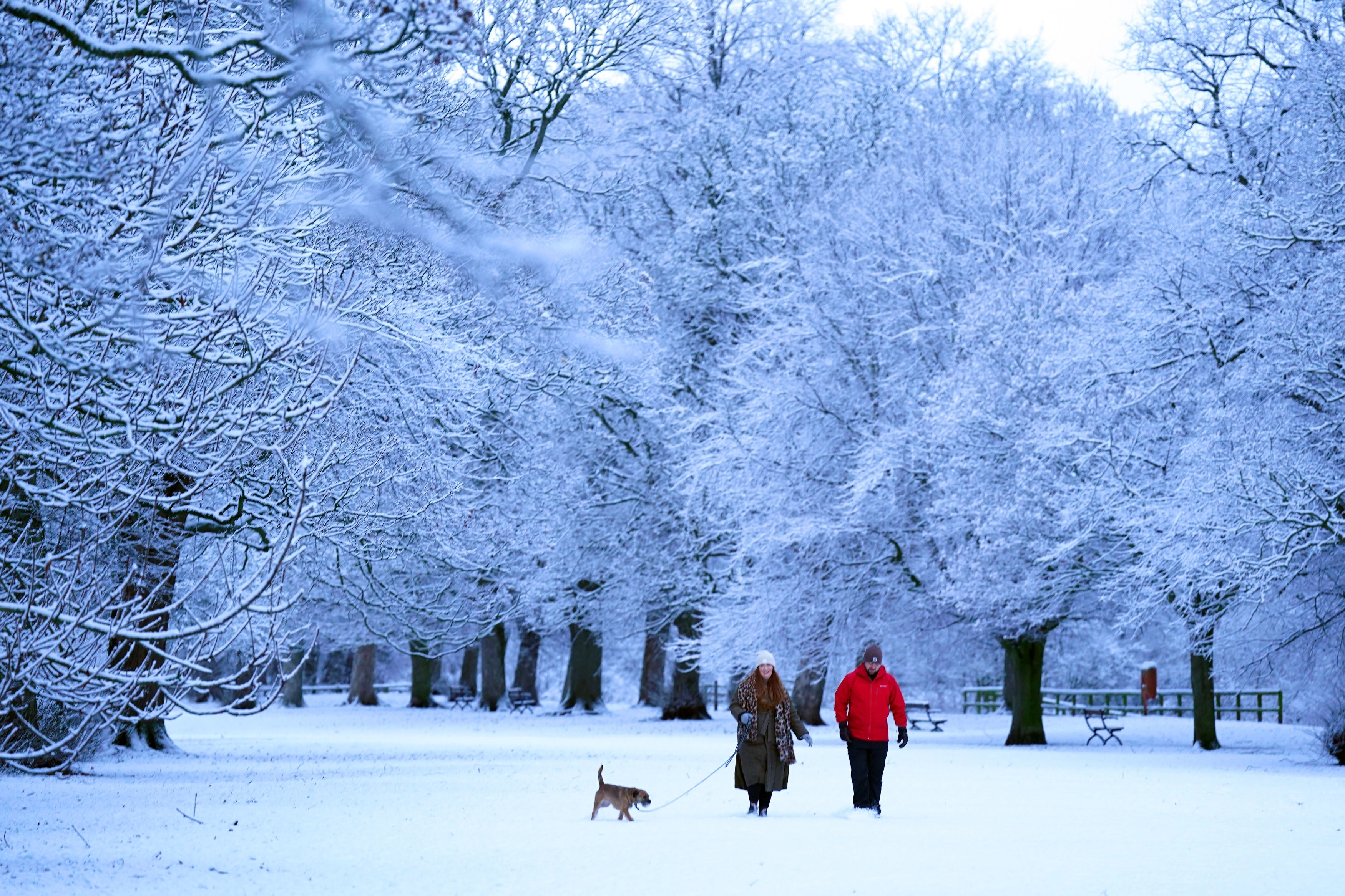
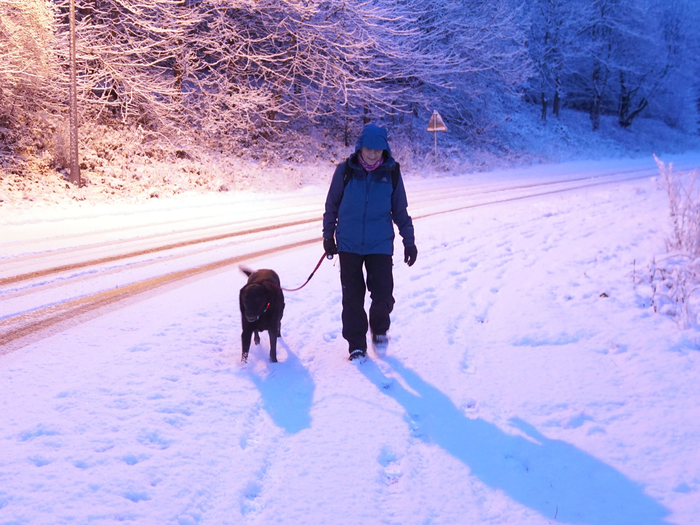
Icy conditions in Hexham
Residents in Hexham, Northumberland woke up to a blanket of frost this morning amid freezing temperatures.
The temperature in the town, about 25 miles west of Newcastle, will struggle to get above 3C during today and plunge to -1C overnight.
Hexham is not one of the areas covered by today’s Met Office yellow warning for snow and ice, which is in place for Northern Ireland, North West England and northern Scotland and the Highlands.

More pictures from Hexham and Kent
-9.1C recorded in Scotland overnight
A low of -9.1C was recorded in Scotland last night, the Met Office has confirmed.
The temperature was logged in Dalwhinnie in the Highlands.
Forecasters say the mercury could drop even lower overnight tonight, possibly to -10C in the Scottish glens.
Full weather report for week ahead
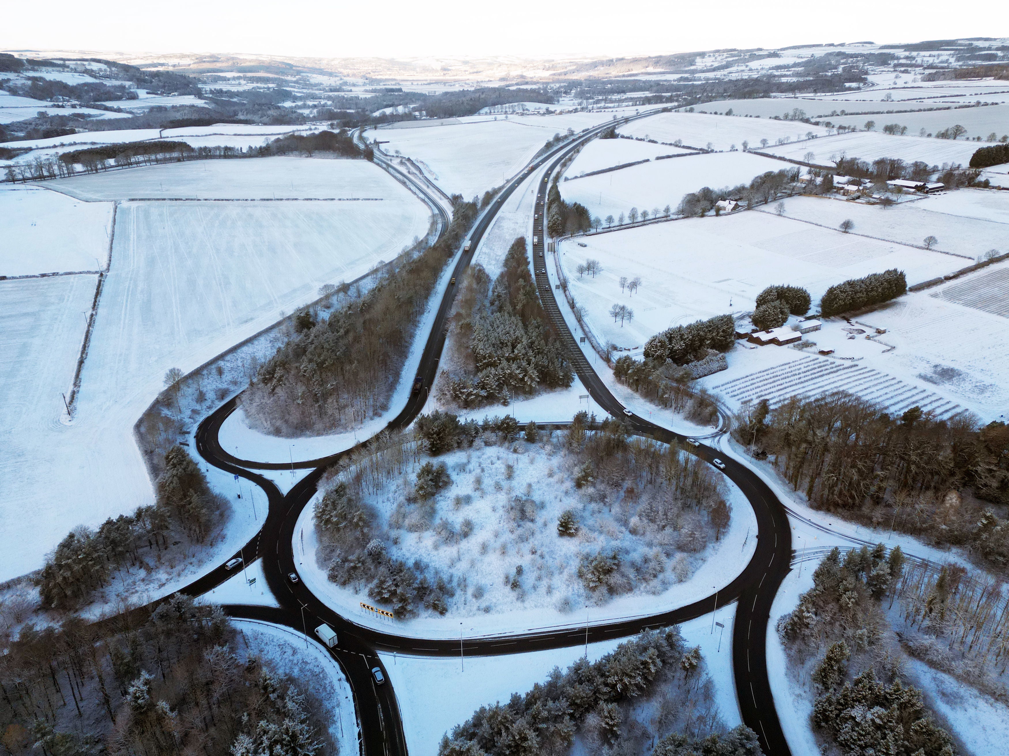
Snow and ice warnings have been issued for large parts of the UK as temperatures are set to plunge well below zero.
The Met Office has issued four days of warnings starting on Sunday, as Arctic winds see the return of the pre-Christmas cold snap.
Monday is expected to be the worst affected day of the week, with warnings for snow in the South East and Scotland, and ice warnings for northern England and Northern Ireland.
Laura Parnaby reports:

Four days of snow and ice warnings as cold snap returns with -4C Arctic freeze
How to drive safely in the snow and ice
Concerned about the icy conditions set to grip vast swathes of the country over the next few days?
Here my colleague Joe Sommerlad takes a lot at how you can make sure to drive safely on the roads as temperatures plunge below freezing.

Join our commenting forum
Join thought-provoking conversations, follow other Independent readers and see their replies
Comments
Bookmark popover
Removed from bookmarks